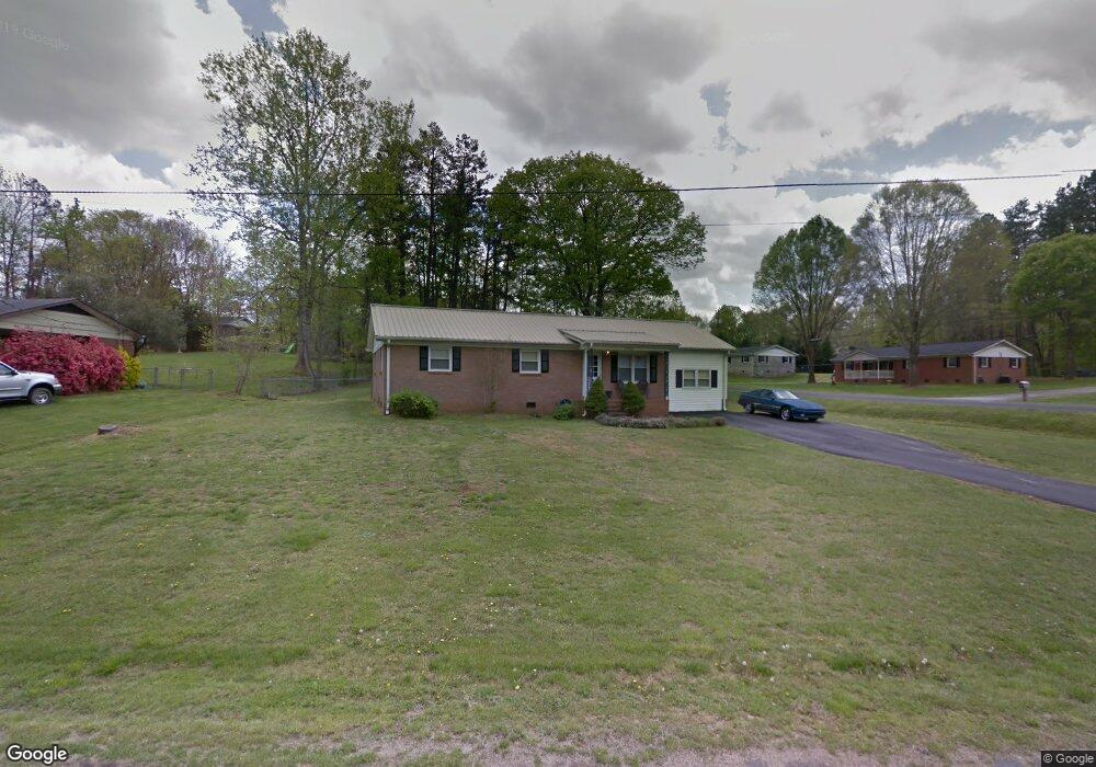
2006 Osborne Rd Kannapolis, NC 28083
Estimated Value: $290,000 - $302,755
3
Beds
2
Baths
1,456
Sq Ft
$202/Sq Ft
Est. Value
About This Home
This home is located at 2006 Osborne Rd, Kannapolis, NC 28083 and is currently estimated at $294,439, approximately $202 per square foot. 2006 Osborne Rd is a home located in Cabarrus County with nearby schools including Royal Oaks Elementary School, Concord Middle School, and Concord High School.
Ownership History
Date
Name
Owned For
Owner Type
Purchase Details
Closed on
Sep 20, 2007
Sold by
Sloop Kelly Mullis and Sloop David M
Bought by
Butler Carlos A and Butler Crystal D
Current Estimated Value
Home Financials for this Owner
Home Financials are based on the most recent Mortgage that was taken out on this home.
Original Mortgage
$117,977
Outstanding Balance
$74,618
Interest Rate
6.55%
Mortgage Type
FHA
Estimated Equity
$219,821
Purchase Details
Closed on
Jun 1, 1985
Bought by
Sloop David Michael and Sloop Kelly M
Create a Home Valuation Report for This Property
The Home Valuation Report is an in-depth analysis detailing your home's value as well as a comparison with similar homes in the area
Home Values in the Area
Average Home Value in this Area
Purchase History
| Date | Buyer | Sale Price | Title Company |
|---|---|---|---|
| Butler Carlos A | $119,000 | None Available | |
| Sloop David Michael | $39,000 | -- |
Source: Public Records
Mortgage History
| Date | Status | Borrower | Loan Amount |
|---|---|---|---|
| Open | Butler Carlos A | $117,977 |
Source: Public Records
Tax History Compared to Growth
Tax History
| Year | Tax Paid | Tax Assessment Tax Assessment Total Assessment is a certain percentage of the fair market value that is determined by local assessors to be the total taxable value of land and additions on the property. | Land | Improvement |
|---|---|---|---|---|
| 2025 | $1,845 | $272,890 | $58,000 | $214,890 |
| 2024 | $1,845 | $272,890 | $58,000 | $214,890 |
| 2023 | $1,284 | $152,880 | $31,000 | $121,880 |
| 2022 | $1,258 | $152,880 | $31,000 | $121,880 |
| 2021 | $1,258 | $152,880 | $31,000 | $121,880 |
| 2020 | $1,258 | $152,880 | $31,000 | $121,880 |
| 2019 | $880 | $107,030 | $20,700 | $86,330 |
| 2018 | $859 | $107,030 | $20,700 | $86,330 |
| 2017 | $838 | $107,030 | $20,700 | $86,330 |
| 2016 | $838 | $110,180 | $23,000 | $87,180 |
| 2015 | $862 | $110,180 | $23,000 | $87,180 |
| 2014 | $862 | $110,180 | $23,000 | $87,180 |
Source: Public Records
Map
Nearby Homes
- 5875 Irish Potato Rd
- 6920 Goldfish Rd
- 5391 Sapp Rd
- 3397 Camp Julia Rd
- 5100 Patterson Rd
- 4849 Samuel Richard St
- 2707 Ireton Place
- 6475 Goldfish Rd
- 3524 New Potato Dr
- 2882 Centergrove Rd
- 2661 Sides Rd
- 3007 Centergrove Rd
- 3535 Old Salisbury Concord Rd
- 145 Wellington Estates Dr
- 165 Wellington Estates Dr
- 2551 Glenwood St
- 0000 Lane St
- 2670 Trawler Way
- 2680 Trawler Way
- 2690 Trawler Way
- 2010 Osborne Rd
- 5473 Whiting Ave
- 5477 Whiting Ave
- 5466 Whiting Ave
- 2014 Osborne Rd
- 2007 Osborne Rd
- 5481 Whiting Ave
- 2003 Osborne Rd
- 2007 Blair St
- 2007 Blair St Unit 14
- 2018 Osborne St
- 5485 Whiting Ave
- 5485 Whiting Ave Unit 4
- 2011 Blair St
- 5459 Whiting Ave
- 2022 Osborne St
- 5489 Whiting Ave
- 2022 Osborne Rd
- 2022 Osborne Rd Unit 5
- 3114 Simmons St