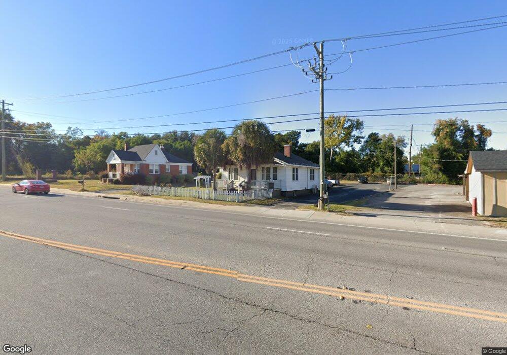
2006 Platt Springs Rd West Columbia, SC 29169
Estimated Value: $207,000 - $240,000
3
Beds
4
Baths
2,129
Sq Ft
$104/Sq Ft
Est. Value
About This Home
This home is located at 2006 Platt Springs Rd, West Columbia, SC 29169 and is currently estimated at $221,912, approximately $104 per square foot. 2006 Platt Springs Rd is a home located in Lexington County with nearby schools including Cayce Elementary, Cyril B. Busbee Creative Arts Academy, and Brookland-Cayce High School.
Ownership History
Date
Name
Owned For
Owner Type
Purchase Details
Closed on
Oct 13, 2015
Sold by
Newman Bobby G
Bought by
Kane Karen
Current Estimated Value
Home Financials for this Owner
Home Financials are based on the most recent Mortgage that was taken out on this home.
Original Mortgage
$96,000
Outstanding Balance
$75,660
Interest Rate
3.93%
Mortgage Type
New Conventional
Estimated Equity
$146,252
Purchase Details
Closed on
Jul 27, 2000
Sold by
Newman Bobby G
Bought by
Sc Dot
Purchase Details
Closed on
May 30, 2000
Sold by
Wilson Marvin G
Bought by
Newman Bobby G
Purchase Details
Closed on
Mar 1, 1999
Sold by
Murray Nancy Rebecca
Bought by
Newman Bobby G
Create a Home Valuation Report for This Property
The Home Valuation Report is an in-depth analysis detailing your home's value as well as a comparison with similar homes in the area
Home Values in the Area
Average Home Value in this Area
Purchase History
| Date | Buyer | Sale Price | Title Company |
|---|---|---|---|
| Kane Karen | $96,000 | None Available | |
| Sc Dot | $2,000 | -- | |
| Newman Bobby G | $25,000 | -- | |
| Newman Bobby G | $80,000 | -- |
Source: Public Records
Mortgage History
| Date | Status | Borrower | Loan Amount |
|---|---|---|---|
| Open | Kane Karen | $96,000 |
Source: Public Records
Tax History Compared to Growth
Tax History
| Year | Tax Paid | Tax Assessment Tax Assessment Total Assessment is a certain percentage of the fair market value that is determined by local assessors to be the total taxable value of land and additions on the property. | Land | Improvement |
|---|---|---|---|---|
| 2024 | $780 | $4,084 | $840 | $3,244 |
| 2023 | $780 | $4,084 | $840 | $3,244 |
| 2022 | $787 | $4,084 | $840 | $3,244 |
| 2020 | $756 | $4,084 | $840 | $3,244 |
| 2019 | $726 | $3,840 | $840 | $3,000 |
| 2018 | $734 | $3,840 | $840 | $3,000 |
| 2017 | $704 | $3,840 | $840 | $3,000 |
| 2016 | $724 | $3,839 | $840 | $2,999 |
| 2015 | $399 | $2,706 | $840 | $1,866 |
| 2014 | $307 | $3,111 | $928 | $2,183 |
| 2013 | -- | $3,110 | $930 | $2,180 |
Source: Public Records
Map
Nearby Homes
- 2024 Platt Springs Rd
- 153 Cavendish Dr
- 151 Cavendish Dr
- 157 Cavendish Dr
- 706 Westside Dr
- 309 Hammond Ave
- 2312 Rainbow Dr
- Oak Plan at Faith Hills
- 1802 D Ave
- 725 Brooks Ave
- 212 Alexandria St
- 2405 Rainbow Dr
- 1210 Decatur St
- 1608 Crapps Ave
- 0 Highway 302 Hwy Unit 589442
- 116 Silver Run Place
- 135 Silver Run Place
- 826 Jefferson St
- 339 Gum Swamp Trail
- 349 Gum Swamp Trail
- 2010 Platt Springs Rd
- 2002 Platt Springs Rd
- 468 Brooks Ave
- 472 Brooks Ave
- 476 Brooks Ave
- 465 Brooks Ave
- 463 Brooks Ave
- 2029 Platt Springs Rd
- 548 Taylor St
- 5253 Platt Springs Rd
- 813 Zeigler Rd
- 1903 Platt Springs Rd
- 711 Sox St
- 530 Taylor St
- 107 Railroad Ave
- 526 Taylor St
- 814 Zeigler Rd
- 355 Dreher Rd
- 1825 Platt Springs Rd
- 520 Taylor St