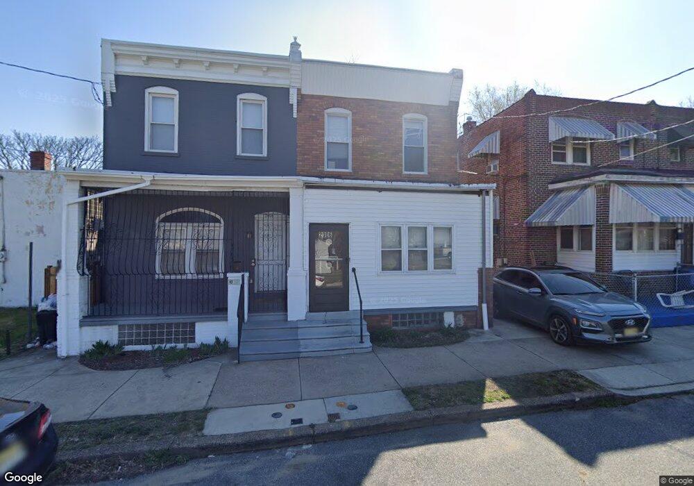
2006 S 10th St Camden, NJ 08104
Centerville NeighborhoodEstimated Value: $131,783 - $196,000
3
Beds
1
Bath
1,408
Sq Ft
$111/Sq Ft
Est. Value
About This Home
This home is located at 2006 S 10th St, Camden, NJ 08104 and is currently estimated at $156,446, approximately $111 per square foot. 2006 S 10th St is a home located in Camden County with nearby schools including Riletta Twyne Cream Family School, Camden High School, and Sacred Heart School.
Ownership History
Date
Name
Owned For
Owner Type
Purchase Details
Closed on
Dec 29, 2017
Sold by
Mirro Angela and Stepney Gerry M
Bought by
Carter Theodore J
Current Estimated Value
Home Financials for this Owner
Home Financials are based on the most recent Mortgage that was taken out on this home.
Original Mortgage
$70,695
Outstanding Balance
$61,534
Interest Rate
5.25%
Mortgage Type
FHA
Estimated Equity
$94,912
Create a Home Valuation Report for This Property
The Home Valuation Report is an in-depth analysis detailing your home's value as well as a comparison with similar homes in the area
Home Values in the Area
Average Home Value in this Area
Purchase History
| Date | Buyer | Sale Price | Title Company |
|---|---|---|---|
| Carter Theodore J | $72,000 | Freedom Title & Abstract |
Source: Public Records
Mortgage History
| Date | Status | Borrower | Loan Amount |
|---|---|---|---|
| Open | Carter Theodore J | $70,695 |
Source: Public Records
Tax History Compared to Growth
Tax History
| Year | Tax Paid | Tax Assessment Tax Assessment Total Assessment is a certain percentage of the fair market value that is determined by local assessors to be the total taxable value of land and additions on the property. | Land | Improvement |
|---|---|---|---|---|
| 2025 | $1,499 | $42,300 | $6,800 | $35,500 |
| 2024 | $1,449 | $42,300 | $6,800 | $35,500 |
| 2023 | $1,449 | $42,300 | $6,800 | $35,500 |
| 2022 | $1,422 | $42,300 | $6,800 | $35,500 |
| 2021 | $981 | $42,300 | $6,800 | $35,500 |
| 2020 | $1,345 | $42,300 | $6,800 | $35,500 |
| 2019 | $1,288 | $42,300 | $6,800 | $35,500 |
| 2018 | $654 | $21,600 | $6,800 | $14,800 |
| 2017 | $638 | $21,600 | $6,800 | $14,800 |
| 2016 | $618 | $21,600 | $6,800 | $14,800 |
| 2015 | $595 | $21,600 | $6,800 | $14,800 |
| 2014 | $581 | $21,600 | $6,800 | $14,800 |
Source: Public Records
Map
Nearby Homes
- 2018 Miller St
- 1889 Charles St
- 1880 S 10th St
- 1660 Ferry Ave
- 1662 Ferry Ave
- 969 Sylvan St
- 2033 -2043 S 10th St
- 739 Sylvan St
- 737 Sylvan St
- 735 Sylvan St
- 1232 Browning St
- 2407 S 12th St
- 1633 Crosslynne Ave
- 1257 Dayton St
- 733 Tulip St
- 695 Fairview St
- 1704 Woodlynne Ave
- 2435 Wainwright St
- 1613 Louis St
- 133 Powelton Ave
- 2004 S 10th St
- 2022 S 10th St
- 2024 S 10th St
- 2026 S 10th St
- 2028 S 10th St
- 1000 Ferry Ave
- 215 S of Ferry
- 1042 Ferry Ave
- 1048 Ferry Ave
- 2040 S 10th St
- 966 Jefferson St
- 2048 S 10th St
- 2050 S 10th St
- 2052 S 10th St
- 980 Ferry Ave
- 2054 S 10th St
- 1053 Ferry Ave
- 958 Jefferson St
- 974 Ferry Ave
- 2039 Mulford St