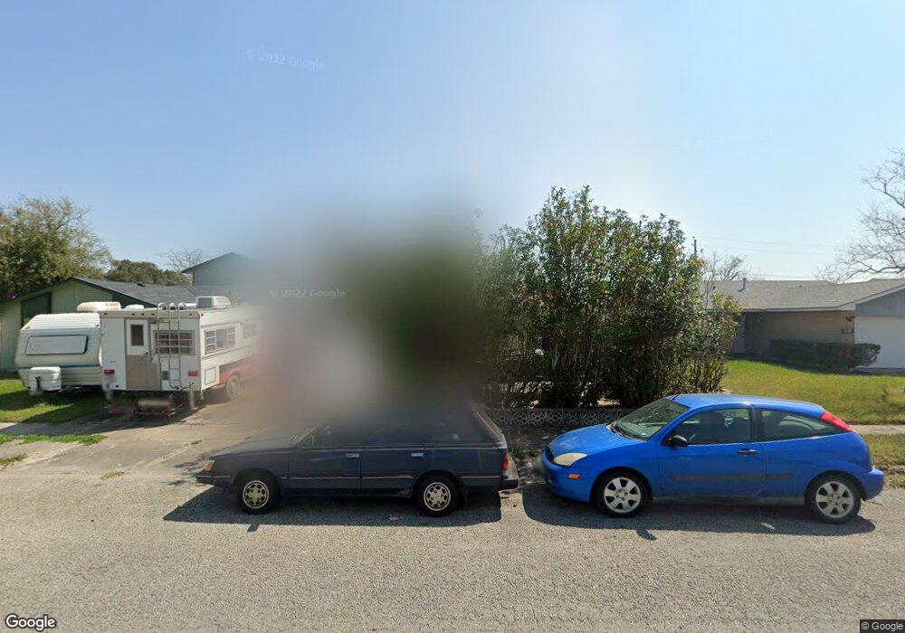
2006 Sean Dr Corpus Christi, TX 78412
Southside NeighborhoodEstimated Value: $233,884 - $248,000
--
Bed
--
Bath
1,729
Sq Ft
$140/Sq Ft
Est. Value
About This Home
This home is located at 2006 Sean Dr, Corpus Christi, TX 78412 and is currently estimated at $242,221, approximately $140 per square foot. 2006 Sean Dr is a home located in Nueces County with nearby schools including Smith Elementary School, Haas Middle School, and King High School.
Ownership History
Date
Name
Owned For
Owner Type
Purchase Details
Closed on
Jun 30, 2015
Sold by
Burchard Sonia M
Bought by
Burchard Allen
Current Estimated Value
Create a Home Valuation Report for This Property
The Home Valuation Report is an in-depth analysis detailing your home's value as well as a comparison with similar homes in the area
Home Values in the Area
Average Home Value in this Area
Purchase History
| Date | Buyer | Sale Price | Title Company |
|---|---|---|---|
| Burchard Allen | -- | None Available |
Source: Public Records
Tax History Compared to Growth
Tax History
| Year | Tax Paid | Tax Assessment Tax Assessment Total Assessment is a certain percentage of the fair market value that is determined by local assessors to be the total taxable value of land and additions on the property. | Land | Improvement |
|---|---|---|---|---|
| 2025 | $220 | $240,288 | -- | -- |
| 2024 | $4,750 | $218,444 | $0 | $0 |
| 2023 | $202 | $198,585 | $0 | $0 |
| 2022 | $4,492 | $180,532 | $20,615 | $159,917 |
| 2021 | $4,414 | $168,831 | $20,615 | $148,216 |
| 2020 | $4,205 | $160,433 | $20,615 | $139,818 |
| 2019 | $4,137 | $156,467 | $20,615 | $135,852 |
| 2018 | $4,047 | $159,811 | $20,615 | $139,196 |
| 2017 | $4,081 | $161,666 | $20,615 | $141,051 |
| 2016 | $4,032 | $159,718 | $20,615 | $139,103 |
| 2015 | -- | $157,611 | $20,615 | $136,996 |
| 2014 | -- | $139,546 | $20,615 | $118,931 |
Source: Public Records
Map
Nearby Homes
- 1938 Spencer Dr
- 1901 Tara Dr
- 2009 Toben Dr
- 6624 Hardwick Dr
- 1805 Kern Dr
- 2222 Meadowgrove Dr
- 6925 Rhine Dr
- 6825 Meadowbreeze Pkwy
- 6718 Riding Wind Dr
- 6995 Lovers Ln
- 2205 Savoy St
- 2302 Tropical Wind Dr
- 2301 Basin St
- 2317 Nautical Wind Dr
- 6922 Yukon Dr
- 6314 Erskine Dr
- 6317 Beechwood Dr
- 6418 Lyons St
- 6929 Roseland Dr
- 6537-6545 Birmingham St
