2006 Sycamore Ln Mays Landing, NJ 08330
Estimated Value: $177,000 - $328,000
--
Bed
--
Bath
552
Sq Ft
$462/Sq Ft
Est. Value
About This Home
This home is located at 2006 Sycamore Ln, Mays Landing, NJ 08330 and is currently estimated at $255,020, approximately $461 per square foot. 2006 Sycamore Ln is a home located in Atlantic County with nearby schools including Joseph Shaner School, George L. Hess Educational Complex, and William Davies Middle School.
Ownership History
Date
Name
Owned For
Owner Type
Purchase Details
Closed on
Feb 23, 2024
Sold by
Smith Michael Edward and Allen Paula R
Bought by
Smith Christopher M
Current Estimated Value
Home Financials for this Owner
Home Financials are based on the most recent Mortgage that was taken out on this home.
Original Mortgage
$168,000
Outstanding Balance
$165,042
Interest Rate
6.63%
Mortgage Type
New Conventional
Estimated Equity
$89,978
Purchase Details
Closed on
Mar 21, 1980
Bought by
Smith Michael E
Create a Home Valuation Report for This Property
The Home Valuation Report is an in-depth analysis detailing your home's value as well as a comparison with similar homes in the area
Home Values in the Area
Average Home Value in this Area
Purchase History
| Date | Buyer | Sale Price | Title Company |
|---|---|---|---|
| Smith Christopher M | $120,000 | Surety Title | |
| Smith Michael E | -- | -- |
Source: Public Records
Mortgage History
| Date | Status | Borrower | Loan Amount |
|---|---|---|---|
| Open | Smith Christopher M | $168,000 |
Source: Public Records
Tax History Compared to Growth
Tax History
| Year | Tax Paid | Tax Assessment Tax Assessment Total Assessment is a certain percentage of the fair market value that is determined by local assessors to be the total taxable value of land and additions on the property. | Land | Improvement |
|---|---|---|---|---|
| 2025 | $5,304 | $154,600 | $43,300 | $111,300 |
| 2024 | $5,304 | $154,600 | $43,300 | $111,300 |
| 2023 | $4,737 | $154,600 | $43,300 | $111,300 |
| 2022 | $4,737 | $154,600 | $43,300 | $111,300 |
| 2021 | $4,727 | $154,600 | $43,300 | $111,300 |
| 2020 | $4,727 | $154,600 | $43,300 | $111,300 |
| 2019 | $4,739 | $154,600 | $43,300 | $111,300 |
| 2018 | $4,564 | $154,600 | $43,300 | $111,300 |
| 2017 | $4,372 | $150,800 | $43,300 | $107,500 |
| 2016 | $4,242 | $150,800 | $43,300 | $107,500 |
| 2015 | $4,090 | $150,800 | $43,300 | $107,500 |
| 2014 | $4,066 | $164,300 | $50,000 | $114,300 |
Source: Public Records
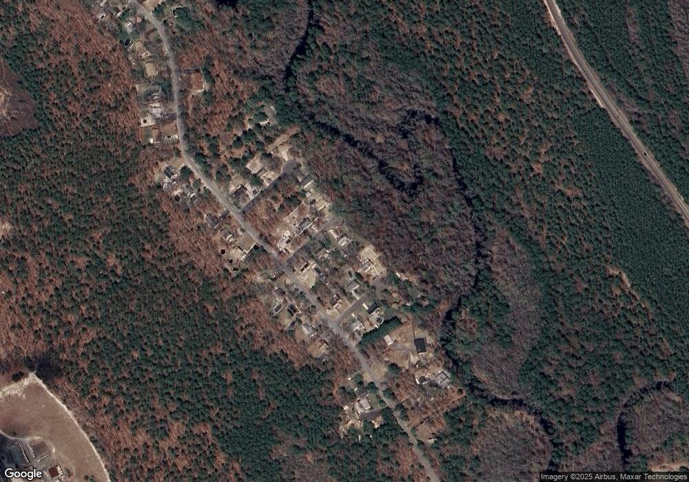
Map
Nearby Homes
- 7390 Black Horse Pike
- 7322 Black Horse Pike
- 7411 Black Horse Pike
- 1930 Mccall Ave
- First 1st Ave
- 2015 High Bank Rd
- 1 Belmont Ave
- 7415 3rd Ave
- 7417 3rd Ave
- 1601 Mccall Ave
- 7640 Black Horse Pike
- 7684 E Black Horse Pike
- 1516 Thirty Third St
- 7571 Strand Ave
- 0 0 Strand Ave
- 0 St Petersburg Ave Unit NJAC2011842
- 0 St Petersburg Ave Unit NJAC2011840
- 7340 Venice Blvd
- 2216 Evergreen Dr
- 2212 Evergreen Dr
- 2004 Sycamore Ln
- 2005 Magnolia Ln
- 2005 Sycamore Ln
- 2000 Sycamore Ln
- 2007 Sycamore Ln
- 2001 Magnolia Ln
- 2001 Sycamore Ln
- 2008 Hemlock Ln
- 2002 Magnolia Ln
- 2004 Magnolia Ln
- 0 Drftwood Ln
- 7321 Driftwood Ln
- 7319 Driftwood Ln
- 7323 Driftwood Ln
- 2000 Magnolia Ln
- 7317 Driftwood Ln
- 7325 Driftwood Ln
- 7315 Driftwood Ln
- 2005 Hemlock Ln
- 2007 Hemlock Ln