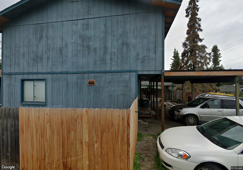
2006 W 32nd Ave Anchorage, AK 99517
Spenard NeighborhoodEstimated Value: $440,886 - $543,000
6
Beds
2
Baths
2,240
Sq Ft
$220/Sq Ft
Est. Value
About This Home
This home is located at 2006 W 32nd Ave, Anchorage, AK 99517 and is currently estimated at $491,943, approximately $219 per square foot. 2006 W 32nd Ave is a home located in Anchorage Municipality with nearby schools including Northwood Elementary School, Romig Middle School, and West High School.
Ownership History
Date
Name
Owned For
Owner Type
Purchase Details
Closed on
Jul 9, 2019
Sold by
Dymond Mary Rebecca and Dymond Mary H
Bought by
Dymond John
Current Estimated Value
Home Financials for this Owner
Home Financials are based on the most recent Mortgage that was taken out on this home.
Original Mortgage
$106,500
Interest Rate
3.73%
Mortgage Type
Purchase Money Mortgage
Create a Home Valuation Report for This Property
The Home Valuation Report is an in-depth analysis detailing your home's value as well as a comparison with similar homes in the area
Home Values in the Area
Average Home Value in this Area
Purchase History
| Date | Buyer | Sale Price | Title Company |
|---|---|---|---|
| Dymond John | -- | Accommodation |
Source: Public Records
Mortgage History
| Date | Status | Borrower | Loan Amount |
|---|---|---|---|
| Closed | Dymond John | $106,500 |
Source: Public Records
Tax History Compared to Growth
Tax History
| Year | Tax Paid | Tax Assessment Tax Assessment Total Assessment is a certain percentage of the fair market value that is determined by local assessors to be the total taxable value of land and additions on the property. | Land | Improvement |
|---|---|---|---|---|
| 2025 | $6,387 | $390,300 | $84,500 | $305,800 |
| 2024 | $6,387 | $395,600 | $84,500 | $311,100 |
| 2023 | $6,236 | $366,200 | $84,500 | $281,700 |
| 2022 | $6,005 | $356,600 | $84,500 | $272,100 |
| 2021 | $6,186 | $343,300 | $84,500 | $258,800 |
| 2020 | $5,758 | $338,700 | $84,500 | $254,200 |
| 2019 | $5,468 | $334,200 | $84,500 | $249,700 |
| 2018 | $5,199 | $317,000 | $73,800 | $243,200 |
| 2017 | $5,025 | $320,900 | $73,800 | $247,100 |
| 2016 | $4,174 | $319,700 | $69,900 | $249,800 |
| 2015 | $4,174 | $300,400 | $69,900 | $230,500 |
| 2014 | $4,174 | $291,400 | $69,900 | $221,500 |
Source: Public Records
Map
Nearby Homes
- 3409 Oregon Dr
- 2155 W 29th Ave Unit 2
- 3406 Wyoming Dr
- 3311 Greenland Dr Unit B
- Tr A W Northern Lights Blvd
- 3605 Oregon Dr Unit 7
- 3605 Oregon Dr Unit 4
- 1508 W 31st Ave
- 3507 Greenland Dr
- 3103 Barbara St
- 000 Anchorage
- 2607 W 33rd Ave
- 1407 W 33rd Ave
- 2511 Abbey Ln
- 1808 Cleveland Ave
- 1806 Cleveland Ave
- 2702 Mcrae Rd
- 2543 La Honda Dr Unit 7
- 2105 Mckinley Ave
- 2925 W 36th Ave
- 3201 Doris St
- 3205 Doris St
- 3209 Doris St Unit 4
- 3209 Doris St Unit 6
- 3200 Lois Dr
- 3207 Doris St
- 2007 W 32nd Ave
- 2009 W 32nd Ave
- 3268 Outta Place
- 2011 W 32nd Ave
- 3206 Lois Dr
- 3272 Outta Place
- 3272 Outta Place Unit 1
- 3272 Outta Place Unit 3
- 3272 Outta Place Unit 6
- 3272 Outta Place Unit 4
- 3272 Outta Place Unit 2
- 3272 Outta Place Unit 5
- 3204 Lois Dr
- 3204 Lois Dr Unit 2