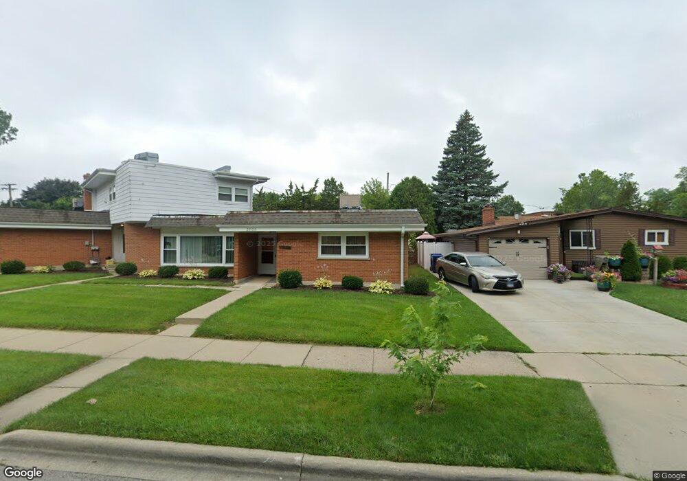
2006 Walnut St Waukegan, IL 60087
Marquette Highlands NeighborhoodEstimated Value: $188,000 - $331,000
7
Beds
6
Baths
4,528
Sq Ft
$51/Sq Ft
Est. Value
About This Home
This home is located at 2006 Walnut St, Waukegan, IL 60087 and is currently estimated at $232,529, approximately $51 per square foot. 2006 Walnut St is a home located in Lake County with nearby schools including Greenwood Elementary School, Edith M Smith Middle School, and Waukegan High School.
Ownership History
Date
Name
Owned For
Owner Type
Purchase Details
Closed on
Aug 29, 2016
Sold by
Chicago Title Land Trust Company
Bought by
Poniente Properties Llc
Current Estimated Value
Purchase Details
Closed on
Jul 23, 2002
Sold by
Fifth Third Bank Chicago
Bought by
Bank Of Waukegan and Trust #204449
Create a Home Valuation Report for This Property
The Home Valuation Report is an in-depth analysis detailing your home's value as well as a comparison with similar homes in the area
Home Values in the Area
Average Home Value in this Area
Purchase History
| Date | Buyer | Sale Price | Title Company |
|---|---|---|---|
| Poniente Properties Llc | $98,000 | Chicago Title Land Trust Co | |
| Bank Of Waukegan | -- | -- |
Source: Public Records
Tax History Compared to Growth
Tax History
| Year | Tax Paid | Tax Assessment Tax Assessment Total Assessment is a certain percentage of the fair market value that is determined by local assessors to be the total taxable value of land and additions on the property. | Land | Improvement |
|---|---|---|---|---|
| 2024 | $7,071 | $83,107 | $21,447 | $61,660 |
| 2023 | $6,644 | $74,992 | $19,353 | $55,639 |
| 2022 | $6,644 | $67,963 | $17,065 | $50,898 |
| 2021 | $7,024 | $67,370 | $16,916 | $50,454 |
| 2020 | $7,556 | $66,660 | $15,759 | $50,901 |
| 2019 | $8,299 | $66,660 | $14,441 | $52,219 |
| 2018 | $6,856 | $56,360 | $17,469 | $38,891 |
| 2017 | $7,146 | $49,863 | $15,455 | $34,408 |
| 2016 | $6,696 | $72,679 | $13,430 | $59,249 |
| 2015 | $10,988 | $65,049 | $12,020 | $53,029 |
| 2014 | $6,835 | $50,803 | $14,568 | $36,235 |
| 2012 | $5,965 | $55,040 | $15,783 | $39,257 |
Source: Public Records
Map
Nearby Homes
- 1905 Linden Ave
- 2232 Walnut St
- 616 W Keith Ave
- 1018 W Atlantic Ave
- 1335 Chestnut St
- 1336 N Ash St
- 301 W Eagle Ct
- 1312 N Linden Ave
- 2350 N Lewis Ave
- 0 Traditions Dr
- 2246 Alta Vista Dr
- 1504 W Glen Flora Ave
- 2213 Alta Vista Dr
- 1105 Woodlawn Cir
- 2008 Harding Ave
- 1110 N Ash St
- 2207 Williamsburg Dr
- 2009 Harding Ave
- 1117 Judge Ave
- 2613 N Lewis Ave
- 2014 Walnut St
- 1016 Golf Rd
- 2018 Walnut St
- 2007 Walnut St
- 2011 Walnut St
- 2001 Walnut St
- 1005 Golf Rd
- 1940 Walnut St
- 2017 Linden Ave
- 2022 Walnut St
- 2017 Walnut St
- 2021 Linden Ave
- 1936 Walnut St
- 2023 Walnut St
- 2026 Walnut St
- 1941 Linden Ave
- 2008 N Jackson St
- 2027 Walnut St
- 2010 N Jackson St
- 1932 Walnut St