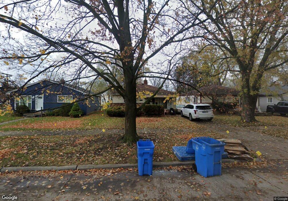
20062 Powers Ave Dearborn Heights, MI 48125
Estimated Value: $126,000 - $154,000
3
Beds
1
Bath
1,000
Sq Ft
$142/Sq Ft
Est. Value
About This Home
This home is located at 20062 Powers Ave, Dearborn Heights, MI 48125 and is currently estimated at $142,195, approximately $142 per square foot. 20062 Powers Ave is a home located in Wayne County with nearby schools including Polk Elementary School, Bedford School, and Pardee School.
Ownership History
Date
Name
Owned For
Owner Type
Purchase Details
Closed on
Jan 12, 2021
Sold by
Aldahwi Noor A
Bought by
Metro Detroit Properties Llc
Current Estimated Value
Purchase Details
Closed on
May 31, 2016
Sold by
Risch Lillian
Bought by
Aldahwi Noor A
Purchase Details
Closed on
Dec 21, 2007
Sold by
Karchefske Mark C and Baurmann Kimberly C
Bought by
Risch Lillian
Purchase Details
Closed on
Aug 7, 2002
Sold by
Karchefske Mark C
Bought by
Karchefske Mark C
Create a Home Valuation Report for This Property
The Home Valuation Report is an in-depth analysis detailing your home's value as well as a comparison with similar homes in the area
Home Values in the Area
Average Home Value in this Area
Purchase History
| Date | Buyer | Sale Price | Title Company |
|---|---|---|---|
| Metro Detroit Properties Llc | -- | None Available | |
| Aldahwi Noor A | $38,000 | First American Title | |
| Risch Lillian | $70,000 | Multiple | |
| Karchefske Mark C | -- | -- |
Source: Public Records
Tax History
| Year | Tax Paid | Tax Assessment Tax Assessment Total Assessment is a certain percentage of the fair market value that is determined by local assessors to be the total taxable value of land and additions on the property. | Land | Improvement |
|---|---|---|---|---|
| 2025 | $1,640 | $63,000 | $0 | $0 |
| 2024 | $1,407 | $56,300 | $0 | $0 |
| 2023 | $1,332 | $49,500 | $0 | $0 |
| 2022 | $1,984 | $42,500 | $0 | $0 |
| 2021 | $1,969 | $36,600 | $0 | $0 |
| 2019 | $1,899 | $30,600 | $0 | $0 |
| 2018 | $1,194 | $25,600 | $0 | $0 |
| 2017 | $1,316 | $24,800 | $0 | $0 |
| 2016 | $1,657 | $24,200 | $0 | $0 |
| 2015 | $2,240 | $22,400 | $0 | $0 |
| 2013 | $2,260 | $23,600 | $0 | $0 |
| 2010 | -- | $30,900 | $0 | $0 |
Source: Public Records
Map
Nearby Homes
- 4932 Pelham St
- 4721 Jackson St
- 4694 Ziegler St
- 4940 Mayfair St
- 4911 Detroit St
- 4630 Pelham St
- 20535 Powers Ave
- 5710 Detroit St
- 19035 Annapolis St
- 4710 Edgewood St
- 4928 Culver St
- 4715 Culver St
- 5621 Merrick St
- 5320 Bedford St
- 5839 Balfour Ave
- 4401 Hipp St
- 5894 Balfour Ave
- 4833 Harding St
- 5888 Kolb Ave
- 4845 Harding St
- 20070 Powers Ave
- 20052 Powers Ave
- 20042 Powers Ave
- 4995 Jackson St
- 20036 Powers Ave
- 4987 Jackson St
- 20202 Powers Ave
- 4975 Jackson St
- 4994 Ziegler St
- 20028 Powers Ave
- 20063 Powers Ave
- 20071 Powers Ave
- 20055 Powers Ave
- 4965 Jackson St
- 20045 Powers Ave
- 20212 Powers Ave
- 4984 Ziegler St
- 20037 Powers Ave
- 4994 Jackson St
- 4982 Jackson St
Your Personal Tour Guide
Ask me questions while you tour the home.