20062 S Airport Ln Baker City, OR 97814
Estimated Value: $643,000 - $837,454
3
Beds
2
Baths
2,400
Sq Ft
$298/Sq Ft
Est. Value
About This Home
This home is located at 20062 S Airport Ln, Baker City, OR 97814 and is currently estimated at $716,151, approximately $298 per square foot. 20062 S Airport Ln is a home with nearby schools including Brooklyn Primary School, Baker Middle School, and Baker High School.
Create a Home Valuation Report for This Property
The Home Valuation Report is an in-depth analysis detailing your home's value as well as a comparison with similar homes in the area
Home Values in the Area
Average Home Value in this Area
Tax History Compared to Growth
Tax History
| Year | Tax Paid | Tax Assessment Tax Assessment Total Assessment is a certain percentage of the fair market value that is determined by local assessors to be the total taxable value of land and additions on the property. | Land | Improvement |
|---|---|---|---|---|
| 2025 | $4,473 | $336,018 | $108,972 | $227,046 |
| 2024 | $4,336 | $326,232 | $103,958 | $222,274 |
| 2023 | $3,877 | $316,731 | $97,405 | $219,326 |
| 2022 | $1,954 | $159,309 | $85,992 | $73,317 |
| 2021 | $868 | $70,879 | $70,879 | $0 |
| 2020 | $799 | $68,815 | $68,815 | $0 |
| 2019 | $776 | $66,811 | $66,811 | $0 |
| 2018 | $692 | $64,866 | $64,866 | $0 |
| 2017 | $733 | $62,977 | $62,977 | $0 |
| 2016 | $712 | $61,143 | $61,143 | $0 |
| 2015 | $692 | $59,363 | $59,363 | $0 |
| 2014 | $672 | $57,634 | $57,634 | $0 |
| 2013 | $653 | $55,956 | $55,956 | $0 |
Source: Public Records
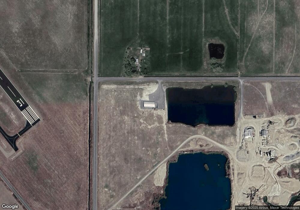
Map
Nearby Homes
- 43768 Sunnyslope Rd
- 3640 Birch St
- 1 Cedar St
- 1460 H St
- 885 G St
- 3385 Kirkway St
- 3060 Elm St
- 3055 Grove St
- 0 Pocahontas Rd Unit 480069549
- 2909 College St
- 2860 College St
- 599 Park Springs Ave
- 607 Park Springs Ave
- 2819 College St
- 591 Park Springs Ave
- 583 Park Springs Ave
- 2615 1st St
- 2130 Cherry St
- 2050 Birch St
- 475 Washington Ave