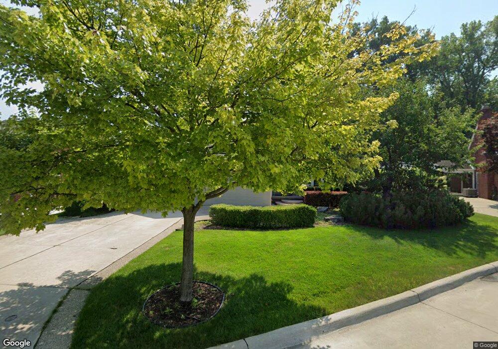
20064 Berns Ct Grosse Pointe Woods, MI 48236
Estimated Value: $375,017 - $507,000
4
Beds
2
Baths
1,800
Sq Ft
$241/Sq Ft
Est. Value
About This Home
This home is located at 20064 Berns Ct, Grosse Pointe Woods, MI 48236 and is currently estimated at $433,004, approximately $240 per square foot. 20064 Berns Ct is a home located in Wayne County with nearby schools including John Monteith Elementary School, Brownell Middle School, and Grosse Pointe North High School.
Ownership History
Date
Name
Owned For
Owner Type
Purchase Details
Closed on
Oct 28, 2009
Sold by
Neville Mark J and Neville Denise J
Bought by
Majeski Robert J
Current Estimated Value
Home Financials for this Owner
Home Financials are based on the most recent Mortgage that was taken out on this home.
Original Mortgage
$143,600
Outstanding Balance
$93,573
Interest Rate
4.96%
Mortgage Type
New Conventional
Estimated Equity
$339,431
Purchase Details
Closed on
Nov 10, 1997
Sold by
Cederwa Ellen R and Cederwa Marc R
Bought by
Neville Denise J
Create a Home Valuation Report for This Property
The Home Valuation Report is an in-depth analysis detailing your home's value as well as a comparison with similar homes in the area
Home Values in the Area
Average Home Value in this Area
Purchase History
| Date | Buyer | Sale Price | Title Company |
|---|---|---|---|
| Majeski Robert J | $179,500 | Greco | |
| Neville Denise J | $244,000 | -- |
Source: Public Records
Mortgage History
| Date | Status | Borrower | Loan Amount |
|---|---|---|---|
| Open | Majeski Robert J | $143,600 |
Source: Public Records
Tax History
| Year | Tax Paid | Tax Assessment Tax Assessment Total Assessment is a certain percentage of the fair market value that is determined by local assessors to be the total taxable value of land and additions on the property. | Land | Improvement |
|---|---|---|---|---|
| 2025 | $3,508 | $196,400 | $0 | $0 |
| 2024 | $3,492 | $194,100 | $0 | $0 |
| 2023 | $3,358 | $168,100 | $0 | $0 |
| 2022 | $5,260 | $149,200 | $0 | $0 |
| 2021 | $5,014 | $145,400 | $0 | $0 |
| 2020 | $5,163 | $142,400 | $0 | $0 |
| 2019 | $3,057 | $136,600 | $0 | $0 |
| 2018 | $3,004 | $120,000 | $0 | $0 |
| 2017 | $3,491 | $118,700 | $0 | $0 |
| 2016 | $4,760 | $108,200 | $0 | $0 |
| 2015 | $8,249 | $98,400 | $0 | $0 |
| 2013 | $7,990 | $85,700 | $0 | $0 |
| 2012 | -- | $78,100 | $23,700 | $54,400 |
Source: Public Records
Map
Nearby Homes
- 1210 Fairholme Rd
- 20114 Fairway Dr
- 1061 N Oxford Rd
- 19934 E William Ct
- 19982 W Doyle Place
- 1041 Lochmoor Blvd
- 489 Chalfonte Ave
- 1557 Lochmoor Blvd
- 1744 Huntington Blvd
- 1776 Manchester Blvd
- 715 Pear Tree Ln
- 680 Pear Tree Ln
- 1800 Littlestone Rd
- 1890 Kenmore Dr
- 646 Peach Tree Ln
- 1623 Severn Rd
- 551 Renaud Rd
- 1922 Norwood Dr
- 1912 Littlestone Rd
- 622 Sunningdale Dr
- 20070 Berns Ct
- 20052 Berns Ct
- 1241 Paget Ct
- 1277 Fairholme Rd
- 1251 Paget Ct
- 20040 Berns Ct
- 1231 Paget Ct
- 20075 Berns Ct
- 1261 Fairholme Rd
- 20045 Berns Ct
- 1295 Fairholme Rd
- 20057 Berns Ct
- 19982 E Emory Ct
- 1221 Paget Ct
- 20069 Berns Ct
- 19978 E Emory Ct
- 19986 E Emory Ct
- 19990 E Emory Ct
- 20052 Ghesquiere Ct
- 20064 Ghesquiere Ct
Your Personal Tour Guide
Ask me questions while you tour the home.