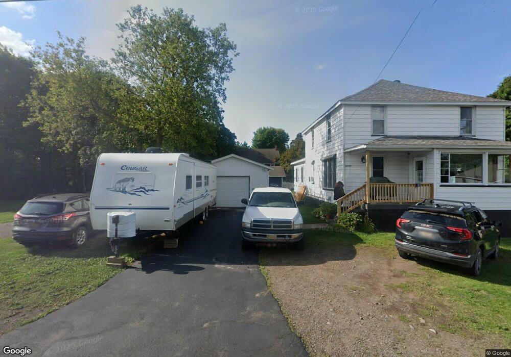
20067 5th St Hancock, MI 49930
Estimated Value: $174,565 - $259,000
3
Beds
1
Bath
2,225
Sq Ft
$97/Sq Ft
Est. Value
About This Home
This home is located at 20067 5th St, Hancock, MI 49930 and is currently estimated at $216,855, approximately $97 per square foot. 20067 5th St is a home located in Houghton County with nearby schools including Barkell Elementary School, Hancock Middle/High School, and Copper Island Academy.
Ownership History
Date
Name
Owned For
Owner Type
Purchase Details
Closed on
Sep 3, 2021
Sold by
Mcmahon Mary B and Mcmahon Winifred M
Bought by
Hartmann Dale N
Current Estimated Value
Home Financials for this Owner
Home Financials are based on the most recent Mortgage that was taken out on this home.
Original Mortgage
$194,768
Outstanding Balance
$177,486
Interest Rate
2.9%
Mortgage Type
Construction
Estimated Equity
$39,369
Purchase Details
Closed on
Dec 31, 2007
Sold by
Mackenzie Zane N and Mackenzie Tina D
Bought by
Mackenzie Zane N and Mackenzie Tina D
Create a Home Valuation Report for This Property
The Home Valuation Report is an in-depth analysis detailing your home's value as well as a comparison with similar homes in the area
Home Values in the Area
Average Home Value in this Area
Purchase History
| Date | Buyer | Sale Price | Title Company |
|---|---|---|---|
| Hartmann Dale N | $188,000 | M&M Title | |
| Mackenzie Zane N | $95,000 | -- |
Source: Public Records
Mortgage History
| Date | Status | Borrower | Loan Amount |
|---|---|---|---|
| Open | Hartmann Dale N | $194,768 |
Source: Public Records
Tax History Compared to Growth
Tax History
| Year | Tax Paid | Tax Assessment Tax Assessment Total Assessment is a certain percentage of the fair market value that is determined by local assessors to be the total taxable value of land and additions on the property. | Land | Improvement |
|---|---|---|---|---|
| 2025 | $1,812 | $119,641 | $0 | $0 |
| 2024 | $702 | $72,131 | $0 | $0 |
| 2023 | $669 | $59,993 | $0 | $0 |
| 2022 | $1,824 | $55,410 | $0 | $0 |
| 2021 | $1,763 | $52,888 | $0 | $0 |
| 2020 | $1,929 | $49,740 | $0 | $0 |
| 2019 | $1,788 | $56,348 | $0 | $0 |
| 2018 | $1,762 | $49,349 | $0 | $0 |
| 2017 | $1,661 | $51,022 | $0 | $0 |
| 2016 | -- | $45,862 | $0 | $0 |
| 2015 | -- | $45,862 | $0 | $0 |
| 2014 | -- | $45,862 | $0 | $0 |
Source: Public Records
Map
Nearby Homes
- TBD18 Dolomite Dr
- TBD9 Dolomite Dr
- TBD17 Dolomite Dr
- TBD16 Dolomite Dr
- TBD15 Dolomite Dr
- TBD14 Dolomite Dr
- TBD13 Dolomite Dr
- TBD 12 Dolomite Dr
- TBD8 Dolomite Dr
- TBD7 Dolomite Dr
- TBD6 Dolomite Dr
- TBD5 Dolomite Dr
- TBD4 Dolomite Dr
- TBD3 Dolomite Dr
- TBD2 Dolomite Dr
- TBD1 Dolomite Dr
- TBD10 Dolomite Dr
- TBD 1a Franklin Tram Rd
- 1440 Silver Dr
- 19869 Lakeview Dr
- 20089 5th St
- 20057 5th St
- 20020 4th St
- 50096 Street Car Rd
- 20044 5th St
- 20017 5th St
- 50025 Us Highway 41
- 20068 5th St
- 20029 5th St
- 20034 5th St
- 19969 5th St
- 57051 N Lake Shore Dr Unit 3
- TBD 13 Captain's Dr
- 20019 4th St
- 20019 4th St
- TBD 3 Third St
- TBD Hilltop Rd
- 50170 Street Car Rd
- 50124 Us Highway 41
- 50124 Us Highway 41