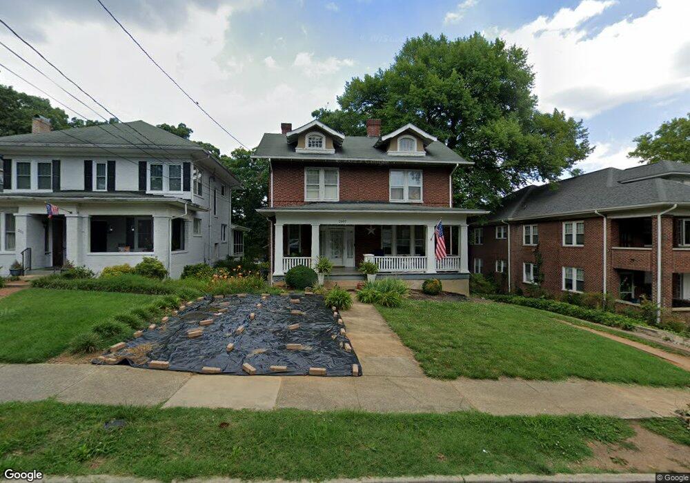
2007 Carter Rd SW Roanoke, VA 24015
Raleigh Court NeighborhoodEstimated Value: $387,000 - $432,000
5
Beds
3
Baths
2,735
Sq Ft
$149/Sq Ft
Est. Value
About This Home
This home is located at 2007 Carter Rd SW, Roanoke, VA 24015 and is currently estimated at $407,430, approximately $148 per square foot. 2007 Carter Rd SW is a home located in Roanoke City with nearby schools including Grandin Court Elementary School, Woodrow Wilson Middle School, and Patrick Henry High School.
Ownership History
Date
Name
Owned For
Owner Type
Purchase Details
Closed on
Mar 30, 2010
Sold by
Pearson Mclaughlin Elizabeth and Mclaughlin Ian B
Bought by
Willem Jean Luc and Willem Regine
Current Estimated Value
Purchase Details
Closed on
Mar 5, 2008
Sold by
Raleigh Court Presbyterian Church Inc
Bought by
Mclaughlin Brenny W
Create a Home Valuation Report for This Property
The Home Valuation Report is an in-depth analysis detailing your home's value as well as a comparison with similar homes in the area
Home Values in the Area
Average Home Value in this Area
Purchase History
| Date | Buyer | Sale Price | Title Company |
|---|---|---|---|
| Willem Jean Luc | $200,000 | Fidelity Nationa Tite Ins Co | |
| Mclaughlin Brenny W | $205,000 | None Available |
Source: Public Records
Tax History Compared to Growth
Tax History
| Year | Tax Paid | Tax Assessment Tax Assessment Total Assessment is a certain percentage of the fair market value that is determined by local assessors to be the total taxable value of land and additions on the property. | Land | Improvement |
|---|---|---|---|---|
| 2025 | $4,483 | $345,700 | $52,100 | $293,600 |
| 2024 | $4,483 | $304,500 | $46,900 | $257,600 |
| 2023 | $3,970 | $294,400 | $44,000 | $250,400 |
| 2022 | $3,665 | $282,200 | $37,000 | $245,200 |
| 2021 | $3,350 | $257,700 | $32,200 | $225,500 |
| 2020 | $3,249 | $250,500 | $30,700 | $219,800 |
| 2019 | $3,236 | $249,400 | $30,700 | $218,700 |
| 2018 | $3,215 | $247,700 | $30,700 | $217,000 |
| 2017 | $3,058 | $242,700 | $30,700 | $212,000 |
| 2016 | $2,931 | $232,300 | $30,700 | $201,600 |
| 2015 | $2,545 | $232,300 | $30,700 | $201,600 |
| 2014 | $2,545 | $218,200 | $30,700 | $187,500 |
Source: Public Records
Map
Nearby Homes
- 2117 Brandon Ave SW
- 1930 Grandin Rd SW
- 2414 Fairway Dr SW
- 1842 Carlton Rd SW
- 1923 Brandon Ave SW
- 2324 Howard Rd SW
- 1932 Carlton Rd SW
- 2603 Fairway Dr SW
- 2604 Fairway Dr SW
- 2334 Maiden Ln SW
- 1918 Langdon Rd SW
- 2401 Maiden Ln SW
- 2220 Westover Ave SW
- 2622 Edgewood St SW
- 2106 Westover Ave SW
- 1656 Brandon Ave SW
- 2046 Westover Ave SW
- 2201 Hunters Rd SW
- 2530 Maiden Ln SW
- 2457 Lofton Rd SW
- 2011 Carter Rd SW
- 2210 Brandon Ave SW
- 2015 Carter Rd SW
- 2001 Carter Rd SW
- 2019 Carter Rd SW
- 2132 Brandon Ave SW
- 2216 Brandon Ave SW
- 2025 Carter Rd SW
- 1955 Avon Rd SW
- 2131 Laburnum Ave SW
- 2126 Brandon Ave SW
- 2209 Brandon Ave SW
- 2014 York Rd SW
- 2230 Brandon Ave SW
- 1947 Avon Rd SW
- 2125 Laburnum Ave SW
- 2018 York Rd SW
- 2031 Carter Rd SW
- 1930 Carter Rd SW
- 2236 Brandon Ave SW