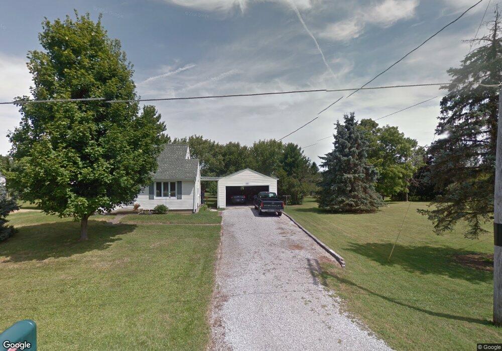
2007 Hulit Rd Mansfield, OH 44903
Estimated Value: $132,000 - $212,000
3
Beds
1
Bath
1,102
Sq Ft
$151/Sq Ft
Est. Value
About This Home
This home is located at 2007 Hulit Rd, Mansfield, OH 44903 and is currently estimated at $166,161, approximately $150 per square foot. 2007 Hulit Rd is a home located in Richland County with nearby schools including Madison High School, St. Mary Catholic School, and Temple-Christian School.
Ownership History
Date
Name
Owned For
Owner Type
Purchase Details
Closed on
Jul 30, 2024
Sold by
Poorman John Philip and Zeigler Victoria
Bought by
Dugan James A
Current Estimated Value
Home Financials for this Owner
Home Financials are based on the most recent Mortgage that was taken out on this home.
Original Mortgage
$111,935
Outstanding Balance
$110,668
Interest Rate
6.87%
Mortgage Type
FHA
Estimated Equity
$55,493
Create a Home Valuation Report for This Property
The Home Valuation Report is an in-depth analysis detailing your home's value as well as a comparison with similar homes in the area
Home Values in the Area
Average Home Value in this Area
Purchase History
| Date | Buyer | Sale Price | Title Company |
|---|---|---|---|
| Dugan James A | $114,000 | American Title Solutions |
Source: Public Records
Mortgage History
| Date | Status | Borrower | Loan Amount |
|---|---|---|---|
| Open | Dugan James A | $111,935 |
Source: Public Records
Tax History
| Year | Tax Paid | Tax Assessment Tax Assessment Total Assessment is a certain percentage of the fair market value that is determined by local assessors to be the total taxable value of land and additions on the property. | Land | Improvement |
|---|---|---|---|---|
| 2024 | $2,011 | $40,680 | $8,780 | $31,900 |
| 2023 | $1,560 | $40,680 | $8,780 | $31,900 |
| 2022 | $1,049 | $27,880 | $7,040 | $20,840 |
| 2021 | $1,048 | $27,880 | $7,040 | $20,840 |
| 2020 | $1,056 | $27,880 | $7,040 | $20,840 |
| 2019 | $868 | $23,430 | $5,920 | $17,510 |
| 2018 | $861 | $23,430 | $5,920 | $17,510 |
| 2017 | $845 | $23,430 | $5,920 | $17,510 |
| 2016 | $809 | $22,480 | $5,620 | $16,860 |
| 2015 | $809 | $22,480 | $5,620 | $16,860 |
| 2014 | $793 | $22,480 | $5,620 | $16,860 |
| 2012 | $395 | $23,670 | $5,920 | $17,750 |
Source: Public Records
Map
Nearby Homes
- 1742 Windsor Rd
- 2202 Lakewood Dr
- 1951 Woodmont Rd
- 1990 Woodmont Rd
- 690 Ashland Rd
- 2244 Pavonia North Rd
- 954 Mayflower Ave
- 944 Mayflower Ave
- 1359 N Stewart Rd
- 1495 Timber Rd
- 2495 Emma Ln
- 961 Neil Cir N
- 1098 Stewart Rd N
- 1674 Honeysuckle Dr
- 781 N Mcelroy Rd
- 1696 Township Road 1419
- 640 Running Brook Way
- 620 Running Brook Way
- 1672 Township Road 1419
- 683 Coachman Rd