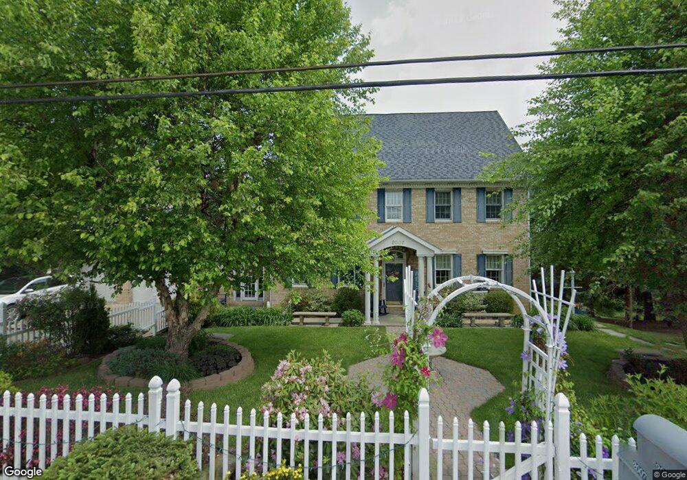
2007 Langley Rd Uniontown, PA 15401
Estimated Value: $174,000 - $363,000
3
Beds
1
Bath
2,540
Sq Ft
$116/Sq Ft
Est. Value
About This Home
This home is located at 2007 Langley Rd, Uniontown, PA 15401 and is currently estimated at $295,452, approximately $116 per square foot. 2007 Langley Rd is a home located in Fayette County with nearby schools including Albert Gallatin Area Senior High School, St. John the Evangelist School, and Chestnut Ridge Christian Academy.
Ownership History
Date
Name
Owned For
Owner Type
Purchase Details
Closed on
Apr 2, 2008
Sold by
Casper Frank B and Casper Jennifer
Bought by
Casper Frank B
Current Estimated Value
Create a Home Valuation Report for This Property
The Home Valuation Report is an in-depth analysis detailing your home's value as well as a comparison with similar homes in the area
Home Values in the Area
Average Home Value in this Area
Purchase History
| Date | Buyer | Sale Price | Title Company |
|---|---|---|---|
| Casper Frank B | -- | None Available |
Source: Public Records
Tax History Compared to Growth
Tax History
| Year | Tax Paid | Tax Assessment Tax Assessment Total Assessment is a certain percentage of the fair market value that is determined by local assessors to be the total taxable value of land and additions on the property. | Land | Improvement |
|---|---|---|---|---|
| 2025 | $1,875 | $78,445 | $10,060 | $68,385 |
| 2024 | $1,875 | $78,445 | $10,060 | $68,385 |
| 2023 | $3,749 | $78,445 | $10,060 | $68,385 |
| 2022 | $3,749 | $78,445 | $10,060 | $68,385 |
| 2021 | $3,646 | $78,445 | $10,060 | $68,385 |
| 2020 | $3,646 | $78,445 | $10,060 | $68,385 |
| 2019 | $3,450 | $78,445 | $10,060 | $68,385 |
| 2018 | $3,450 | $78,445 | $10,060 | $68,385 |
| 2017 | $3,450 | $78,445 | $10,060 | $68,385 |
| 2016 | -- | $78,445 | $10,060 | $68,385 |
| 2015 | -- | $78,445 | $10,060 | $68,385 |
| 2014 | -- | $156,890 | $20,120 | $136,770 |
Source: Public Records
Map
Nearby Homes
- 2185 Morgantown Rd
- 0 Brownfield Rd Unit 10160173
- 0 Brownfield Rd Unit 1707349
- 14 Amy Way
- 160 Brownfield Ln
- 105 Luzerne Ave
- 87 Farmview Dr
- 337 Saratoga Dr
- 615 Morgantown Rd
- 407 1st St
- 596 Morgantown Rd
- 388 Derrick Ave
- 120 Clay St
- 113 Washington Ave
- 34 Chestnut St
- 103 Concord Place
- 120 Wiggins Ln
- 99 Wiggins Ln
- 101 Connor St
- 60 Heritage Hills Rd
- 1050 Farm Rd
- 2010 Langley Rd
- 3004 Langley Rd
- 3010 Langley Rd
- 1062 Farm Rd
- 2060 Morgantown Rd
- 1097 Farm Rd
- 2068 Morgantown Rd
- 3012 Langley Rd
- 3018 Langley Rd
- 2072 Morgantown Rd
- 3011 Langley Rd
- 3015 Langley Rd
- 3021 Langley Rd
- 1101 Farm Rd
- 3027 Langley Rd
- 2075 Morgantown Rd
- 1076 Farm Rd
- 3029 Langley Rd
- 2091 Morgantown Rd