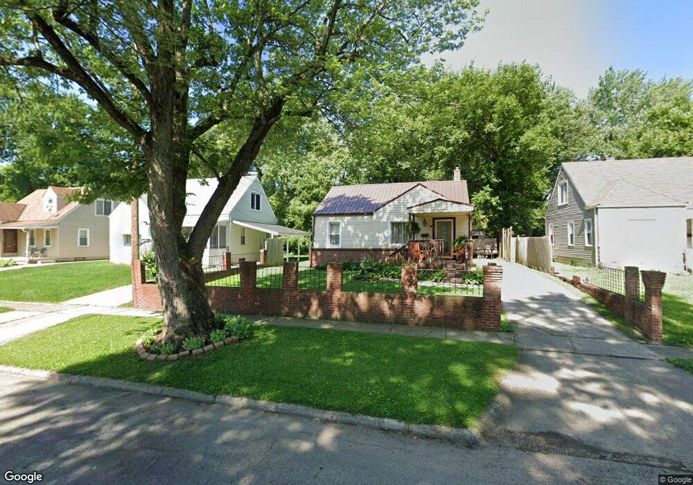
2007 Marston Rd Columbus, OH 43219
Woodland Holt NeighborhoodEstimated Value: $146,000 - $203,000
3
Beds
1
Bath
1,166
Sq Ft
$147/Sq Ft
Est. Value
About This Home
This home is located at 2007 Marston Rd, Columbus, OH 43219 and is currently estimated at $171,541, approximately $147 per square foot. 2007 Marston Rd is a home located in Franklin County with nearby schools including South Mifflin Stem Academy (K-6), Linden-Mckinley Stem School On Arcadia, and Cesar Chavez College Preparatory School.
Ownership History
Date
Name
Owned For
Owner Type
Purchase Details
Closed on
Jun 6, 1979
Bought by
Harp Mary E
Current Estimated Value
Create a Home Valuation Report for This Property
The Home Valuation Report is an in-depth analysis detailing your home's value as well as a comparison with similar homes in the area
Home Values in the Area
Average Home Value in this Area
Purchase History
| Date | Buyer | Sale Price | Title Company |
|---|---|---|---|
| Harp Mary E | -- | -- |
Source: Public Records
Tax History
| Year | Tax Paid | Tax Assessment Tax Assessment Total Assessment is a certain percentage of the fair market value that is determined by local assessors to be the total taxable value of land and additions on the property. | Land | Improvement |
|---|---|---|---|---|
| 2025 | $1,387 | $40,710 | $8,440 | $32,270 |
| 2024 | $1,387 | $40,710 | $8,440 | $32,270 |
| 2023 | $1,397 | $40,705 | $8,435 | $32,270 |
| 2022 | $704 | $22,330 | $2,450 | $19,880 |
| 2021 | $706 | $22,330 | $2,450 | $19,880 |
| 2020 | $677 | $21,770 | $2,450 | $19,320 |
| 2019 | $488 | $16,800 | $1,960 | $14,840 |
| 2018 | $272 | $17,750 | $1,960 | $15,790 |
| 2017 | $546 | $17,750 | $1,960 | $15,790 |
| 2016 | $590 | $17,650 | $2,770 | $14,880 |
| 2015 | $268 | $17,650 | $2,770 | $14,880 |
| 2014 | $537 | $17,650 | $2,770 | $14,880 |
| 2013 | $323 | $19,600 | $3,080 | $16,520 |
Source: Public Records
Map
Nearby Homes
- 0 Danby Dr
- 1991 Woodland Ave
- 0 Mock Rd
- 2321 Dunning Ct
- 1893 Jermain Dr
- 2350 Edenburgh Dr S
- 1816 Brentnell Ave
- 2080 Parkwood Ave Unit 2090
- 0 Parkwood Ave
- 2271 Century Dr
- 2145 Argyle Dr
- 2131 Argyle Dr
- 2169 Argyle Dr
- 2310 Brentnell Ave
- 2282 Dawnlight Ave
- 2144 Toni St
- 2407 Marcia Dr
- 1864 E Hudson St
- 1805 E 26th Ave
- 1862 Argyle Dr
- 2013 Marston Rd
- 1995 Marston Rd
- 2019 Marston Rd
- 1993 Marston Rd
- 1987 Marston Rd
- 2027 Marston Rd
- 2231 Delavan Dr
- 2208 Sagamore Rd
- 2212 Sagamore Rd
- 2223 Delavan Dr
- 2204 Sagamore Rd
- 2004 Marston Rd
- 1998 Marston Rd
- 2012 Marston Rd
- 1973 Marston Rd
- 2214 Sagamore Rd
- 1992 Marston Rd
- 2018 Marston Rd
- 2217 Delavan Dr
- 2200 Sagamore Rd
Your Personal Tour Guide
Ask me questions while you tour the home.