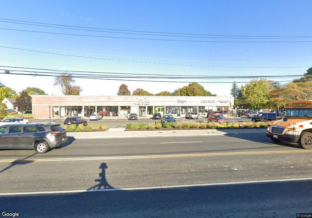
2007 Merrick Rd Merrick, NY 11566
Estimated Value: $1,486,000
--
Bed
--
Bath
10,740
Sq Ft
$138/Sq Ft
Est. Value
About This Home
This home is located at 2007 Merrick Rd, Merrick, NY 11566 and is currently priced at $1,486,000, approximately $138 per square foot. 2007 Merrick Rd is a home with nearby schools including Burcham Elementary School, Merrick Avenue Middle School, and Waynoka High School.
Ownership History
Date
Name
Owned For
Owner Type
Purchase Details
Closed on
Mar 21, 2001
Sold by
Eveco Pa Llc
Bought by
Midco Nowash Llc
Current Estimated Value
Purchase Details
Closed on
Mar 20, 2001
Sold by
Eveco Equities Inc
Bought by
Eveco Pa Llc
Purchase Details
Closed on
Apr 10, 2000
Sold by
Simco Mgt Co
Bought by
Eveco Equities Inc
Purchase Details
Closed on
Oct 18, 1996
Sold by
Catalano Joseph C
Bought by
Simco Management Co
Create a Home Valuation Report for This Property
The Home Valuation Report is an in-depth analysis detailing your home's value as well as a comparison with similar homes in the area
Home Values in the Area
Average Home Value in this Area
Purchase History
| Date | Buyer | Sale Price | Title Company |
|---|---|---|---|
| Midco Nowash Llc | $1,340,000 | Stuart M Cohen | |
| Midco Nowash Llc | $1,340,000 | Stuart M Cohen | |
| Eveco Pa Llc | -- | Stuart M Cohen | |
| Eveco Pa Llc | -- | Stuart M Cohen | |
| Eveco Equities Inc | $1,335,000 | Stuart M Cohen | |
| Eveco Equities Inc | $1,335,000 | Stuart M Cohen | |
| Simco Management Co | $1,825,000 | -- | |
| Simco Management Co | $1,825,000 | -- |
Source: Public Records
Tax History Compared to Growth
Tax History
| Year | Tax Paid | Tax Assessment Tax Assessment Total Assessment is a certain percentage of the fair market value that is determined by local assessors to be the total taxable value of land and additions on the property. | Land | Improvement |
|---|---|---|---|---|
| 2025 | $119,724 | $15,836 | $12,058 | $3,778 |
| 2024 | $38,727 | $15,836 | $12,058 | $3,778 |
| 2023 | $120,102 | $15,836 | $12,058 | $3,778 |
| 2022 | $120,102 | $15,836 | $12,058 | $3,778 |
| 2021 | $164,838 | $17,172 | $12,058 | $5,114 |
| 2020 | $136,308 | $15,961 | $15,124 | $837 |
| 2019 | $143,118 | $15,961 | $14,232 | $1,729 |
| 2018 | $137,058 | $15,961 | $0 | $0 |
| 2017 | $64,767 | $16,961 | $15,124 | $1,837 |
| 2016 | $140,926 | $16,961 | $15,124 | $1,837 |
| 2015 | $44,978 | $16,961 | $15,124 | $1,837 |
| 2014 | $44,978 | $16,961 | $15,124 | $1,837 |
| 2013 | $42,087 | $16,961 | $15,124 | $1,837 |
Source: Public Records
Map
Nearby Homes
- 217 Bayview Ave
- 1945 Byron Rd
- 72 Lake End Rd
- 1360-1370 Merrick Rd
- 163 Wynsum Ave
- 44 Keeler Ave
- 174 Babylon Turnpike
- 1825 Alice St
- 43 Wynsum Ave
- 131 Gregory Ave
- 60 Montauk Ave
- 31 Alice St
- 1800 Carlisle Place
- 2729 Shore Dr
- 110 Hampton Way
- 48 Rosebud Ave
- 2 Dorothy Ct
- 2072 Brighton Way
- 2704 Beach Dr
- 45 Henry St