Estimated Value: $228,000 - $271,000
3
Beds
2
Baths
1,366
Sq Ft
$182/Sq Ft
Est. Value
About This Home
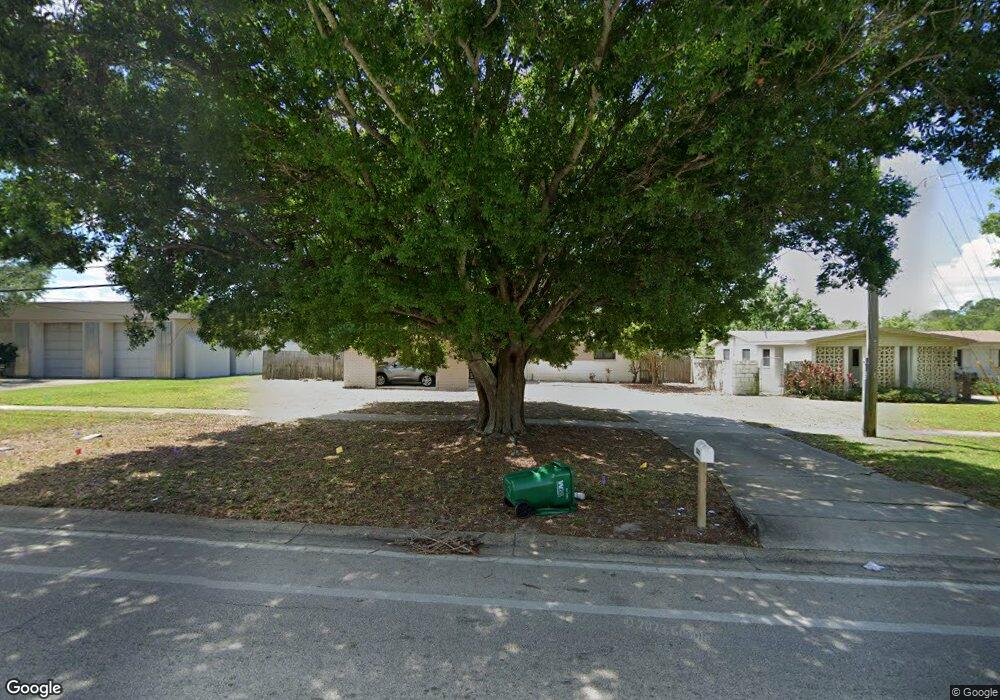
This home is located at 2007 Michigan Ave, Cocoa, FL 32926 and is currently estimated at $248,666, approximately $182 per square foot. 2007 Michigan Ave is a home located in Brevard County with nearby schools including Cambridge Elementary Magnet School, Cocoa High School, and Space Coast Christian Academy.
Ownership History
Date
Name
Owned For
Owner Type
Purchase Details
Closed on
Aug 16, 2019
Sold by
Butler Jean and Krsek Jean
Bought by
Butler Jean and Jean Butler Revocable Trust
Current Estimated Value
Purchase Details
Closed on
Aug 10, 2000
Sold by
Power Play Prop Inc
Bought by
Butler Charles I and Butler Jean
Home Financials for this Owner
Home Financials are based on the most recent Mortgage that was taken out on this home.
Original Mortgage
$95,000
Outstanding Balance
$34,324
Interest Rate
8.17%
Mortgage Type
Purchase Money Mortgage
Estimated Equity
$214,342
Create a Home Valuation Report for This Property
The Home Valuation Report is an in-depth analysis detailing your home's value as well as a comparison with similar homes in the area
Home Values in the Area
Average Home Value in this Area
Purchase History
| Date | Buyer | Sale Price | Title Company |
|---|---|---|---|
| Butler Jean | -- | Attorney | |
| Butler Charles I | $115,000 | -- |
Source: Public Records
Mortgage History
| Date | Status | Borrower | Loan Amount |
|---|---|---|---|
| Open | Butler Charles I | $95,000 |
Source: Public Records
Tax History
| Year | Tax Paid | Tax Assessment Tax Assessment Total Assessment is a certain percentage of the fair market value that is determined by local assessors to be the total taxable value of land and additions on the property. | Land | Improvement |
|---|---|---|---|---|
| 2025 | $3,349 | $135,240 | -- | -- |
| 2024 | $2,843 | $159,960 | -- | -- |
| 2023 | $2,843 | $149,850 | $0 | $0 |
| 2022 | $2,440 | $129,580 | $0 | $0 |
| 2021 | $2,213 | $97,990 | $40,000 | $57,990 |
| 2020 | $2,070 | $91,790 | $37,000 | $54,790 |
| 2019 | $907 | $50,350 | $0 | $0 |
| 2018 | $706 | $49,420 | $0 | $0 |
| 2017 | $695 | $48,410 | $0 | $0 |
| 2016 | $680 | $47,420 | $19,000 | $28,420 |
| 2015 | $435 | $47,100 | $19,000 | $28,100 |
| 2014 | $431 | $46,730 | $19,000 | $27,730 |
Source: Public Records
Map
Nearby Homes
- 2426 Granville Dr
- 2413 Cherbourg Rd
- 2430 Legay St
- 0000 Unknown
- 00 N Unknown
- 1612 Calvados Dr
- 2319 Elon Dr
- 0 University Ln
- 1933 Quail Ridge Ct Unit 1101
- 2111 Otterbein Ave
- 1942 Quail Ridge Ct Unit 504
- 1956 Quail Ridge Ct Unit 1802
- Xxx Rosetine St
- 1644 Ruth St
- 1704 University Ln Unit 702
- 1417 Walter St
- 1509 Tate St
- 1455 Tate St
- 0000 Null Unknown
- 1514 Clearlake Rd Unit 143
- 2005 Michigan Ave
- 2011 Michigan Ave
- 2103 Michigan Ave
- 2403 Auburn Dr
- 2402 Auburn Dr
- 2107 Michigan Ave
- 2006 Michigan Ave
- 2407 Auburn Dr
- 2111 Michigan Ave
- 2406 Auburn Dr
- 2403 Tulane Dr
- 2403 Stanford Dr
- 2407 Tulane Dr
- 2406 Tulane Dr
- 2411 Auburn Dr
- 2110 Michigan Ave
- 2410 Auburn Dr
- 2115 Michigan Ave
- 2407 Stanford Dr
- 2106 Michigan Ave
Your Personal Tour Guide
Ask me questions while you tour the home.