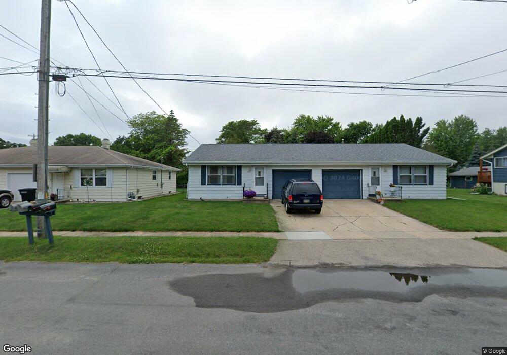
2007 Mitchell St Oshkosh, WI 54901
Ferry Crossing NeighborhoodEstimated Value: $240,755 - $262,000
4
Beds
2
Baths
1,752
Sq Ft
$145/Sq Ft
Est. Value
About This Home
This home is located at 2007 Mitchell St, Oshkosh, WI 54901 and is currently estimated at $253,189, approximately $144 per square foot. 2007 Mitchell St is a home located in Winnebago County with nearby schools including Read Elementary School, Merrill Middle School, and North High School.
Ownership History
Date
Name
Owned For
Owner Type
Purchase Details
Closed on
Jul 24, 2007
Sold by
Weronke Ann
Bought by
Davis Jeremy J and Davis Michele M
Current Estimated Value
Home Financials for this Owner
Home Financials are based on the most recent Mortgage that was taken out on this home.
Original Mortgage
$112,000
Outstanding Balance
$70,840
Interest Rate
6.73%
Mortgage Type
New Conventional
Estimated Equity
$182,349
Create a Home Valuation Report for This Property
The Home Valuation Report is an in-depth analysis detailing your home's value as well as a comparison with similar homes in the area
Home Values in the Area
Average Home Value in this Area
Purchase History
| Date | Buyer | Sale Price | Title Company |
|---|---|---|---|
| Davis Jeremy J | $117,900 | None Available |
Source: Public Records
Mortgage History
| Date | Status | Borrower | Loan Amount |
|---|---|---|---|
| Open | Davis Jeremy J | $112,000 |
Source: Public Records
Tax History
| Year | Tax Paid | Tax Assessment Tax Assessment Total Assessment is a certain percentage of the fair market value that is determined by local assessors to be the total taxable value of land and additions on the property. | Land | Improvement |
|---|---|---|---|---|
| 2024 | $4,192 | $221,700 | $33,500 | $188,200 |
| 2023 | $3,798 | $128,000 | $23,000 | $105,000 |
| 2022 | $3,757 | $128,000 | $23,000 | $105,000 |
| 2021 | $3,487 | $128,000 | $23,000 | $105,000 |
| 2020 | $3,332 | $128,000 | $23,000 | $105,000 |
| 2019 | $3,238 | $128,000 | $23,000 | $105,000 |
| 2018 | $3,175 | $128,000 | $23,000 | $105,000 |
| 2017 | $3,214 | $128,000 | $23,000 | $105,000 |
| 2016 | $2,764 | $112,800 | $23,000 | $89,800 |
| 2015 | $2,737 | $112,800 | $23,000 | $89,800 |
| 2014 | $2,734 | $112,800 | $23,000 | $89,800 |
| 2013 | $2,745 | $112,800 | $23,000 | $89,800 |
Source: Public Records
Map
Nearby Homes
- 1350 Fireside Cir
- 807 W Gruenwald Ave
- 1905 Roosevelt Ave
- 1211 Park Ridge Ave
- 2007 Wisconsin St
- 2324 Wisconsin St
- 606 W Murdock Ave
- 546 W Smith Ave
- 2376 Wisconsin St
- 1119 W Bent Ave
- 1514 Elmwood Ave
- 314 Viola Ave
- 228 Allen Ave
- 1545 Arboretum Dr Unit 315
- 1545 Arboretum Dr Unit 327
- 1641 Jackson St
- 0 Wisconsin 21
- 0 Wisconsin 21
- 1313 Wisconsin St
- 1633 Burdick St
- 2019 Mitchell St
- 2008 Mitchell St
- 2003 Mitchell St
- 1418 W Linwood Ave
- 2035 Mitchell St
- 0 Mitchell St
- 1320 W Linwood Ave
- 2006 Mitchell St
- 1424 W Linwood Ave
- 2005 Parkside Dr
- 2016 Mitchell St
- 1403 W Linwood Ave
- 2055 Mitchell St
- 1409 W Linwood Ave
- 2050 Parkside Dr
- 2030 Mitchell St
- 2075 Mitchell St
- 1940 Mitchell St
- 2050 Mitchell St
- 2070 Parkside Dr
Your Personal Tour Guide
Ask me questions while you tour the home.