2007 N Manistee River Rd Grayling, MI 49738
Estimated Value: $607,000 - $721,000
--
Bed
--
Bath
2,715
Sq Ft
$241/Sq Ft
Est. Value
About This Home
This home is located at 2007 N Manistee River Rd, Grayling, MI 49738 and is currently estimated at $655,131, approximately $241 per square foot. 2007 N Manistee River Rd is a home with nearby schools including Grayling Elementary School, Grayling Middle School, and Grayling High School.
Ownership History
Date
Name
Owned For
Owner Type
Purchase Details
Closed on
Nov 18, 2022
Sold by
Blake Susan W
Bought by
Blake Susan Walbridge Trust
Current Estimated Value
Purchase Details
Closed on
Oct 19, 2022
Sold by
Walbridge Margaret F Trust
Bought by
Blake Susan W
Purchase Details
Closed on
Sep 25, 2003
Sold by
Walbridge Thomas C and Walbridge Peggy
Bought by
Walbridge, Margaret F. Trust
Purchase Details
Closed on
Mar 1, 1995
Create a Home Valuation Report for This Property
The Home Valuation Report is an in-depth analysis detailing your home's value as well as a comparison with similar homes in the area
Home Values in the Area
Average Home Value in this Area
Purchase History
| Date | Buyer | Sale Price | Title Company |
|---|---|---|---|
| Blake Susan Walbridge Trust | -- | -- | |
| Blake Susan W | -- | -- | |
| Walbridge, Margaret F. Trust | -- | -- | |
| -- | $84,000 | -- |
Source: Public Records
Tax History Compared to Growth
Tax History
| Year | Tax Paid | Tax Assessment Tax Assessment Total Assessment is a certain percentage of the fair market value that is determined by local assessors to be the total taxable value of land and additions on the property. | Land | Improvement |
|---|---|---|---|---|
| 2025 | $6,265 | $295,800 | $39,200 | $256,600 |
| 2024 | $4,291 | $291,500 | $39,200 | $252,300 |
| 2023 | $4,115 | $236,100 | $39,200 | $196,900 |
| 2022 | $3,907 | $203,700 | $39,200 | $164,500 |
| 2021 | $5,289 | $197,100 | $39,200 | $157,900 |
| 2020 | $5,220 | $185,100 | $39,200 | $145,900 |
| 2019 | $3,709 | $168,700 | $39,200 | $129,500 |
| 2018 | $5,007 | $171,000 | $39,200 | $131,800 |
| 2017 | $3,742 | $177,400 | $39,200 | $138,200 |
| 2016 | $3,709 | $153,900 | $39,200 | $114,700 |
| 2015 | -- | $153,900 | $0 | $0 |
| 2014 | -- | $142,100 | $0 | $0 |
| 2013 | -- | $118,800 | $0 | $0 |
Source: Public Records
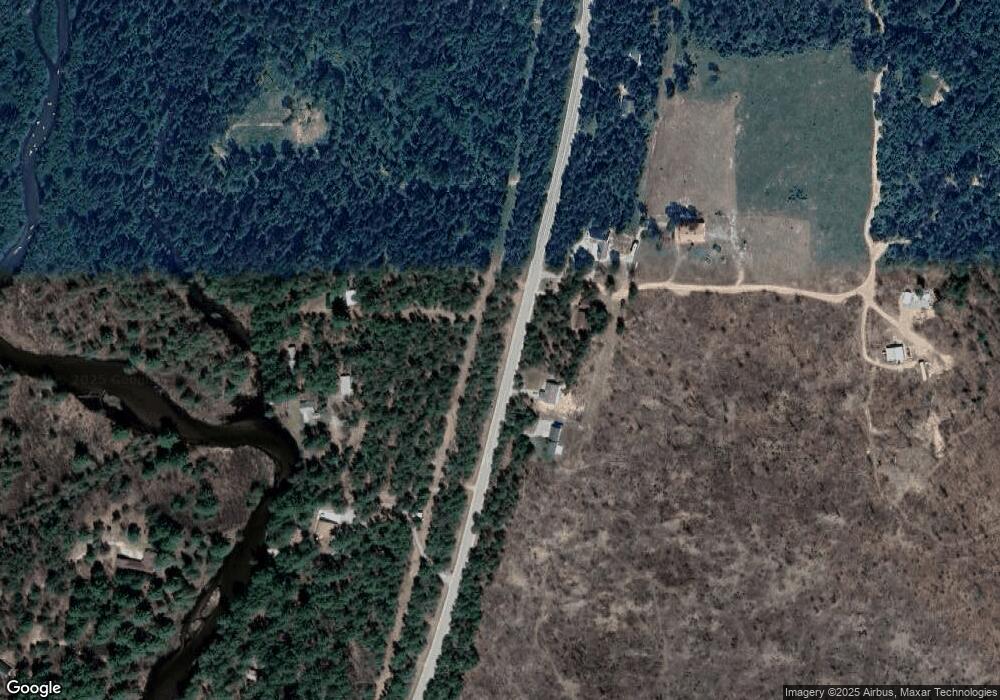
Map
Nearby Homes
- 15983 Snay Dr SE
- 15968 W M-72 Hwy
- 15831 Michigan 72
- V/L L18-21 Monroe Ave
- 10032 Washington Ave
- 1243 Euclid Ave
- 1321 Eagle Point Rd
- 9143 N Lake Shore Dr
- 14972 Riverview Rd SE
- 000 Ray Ave
- V/L 6.72A Weaver Rd
- 277 Wendy Ln
- 14628 Club Cir SE
- 4787 N Watts Dr
- 8530 W Matilda Dr
- 268 Yorke Trail
- 2179 Danish Landing Rd
- 6960 Trem Pal Rd
- 935 Robinhood Ln
- 551 Pembroke Dr
- 1895 N Manistee River Rd
- 1981 N Manistee River Rd
- 2058 N Manistee River Rd
- 2122 N Manistee River Rd
- 2145 N Manistee River Rd
- 2067 Chipmunk Trail
- 1849 N Manistee River Rd
- 2270 Chipm Trail
- 2228 N Manistee River Rd
- 2265 N Manistee River Rd
- 1427 N Manistee River Rd
- 2250 N Manistee River Rd
- 1958 Royal Coachman Dr
- 0 Chipmunk Trail Unit 20813181
- 0 Chipmunk Trail Unit PARCEL 4 267400
- 0 Chipmunk Trail Unit Parcel 2 261767
- 0 Chipmunk Trail Unit (Parcel 1) 253680
- 0 Chipmunk Trail Unit Lot 4 293457
- 0 Chipmunk Trail
- 1765 N Manistee River Rd