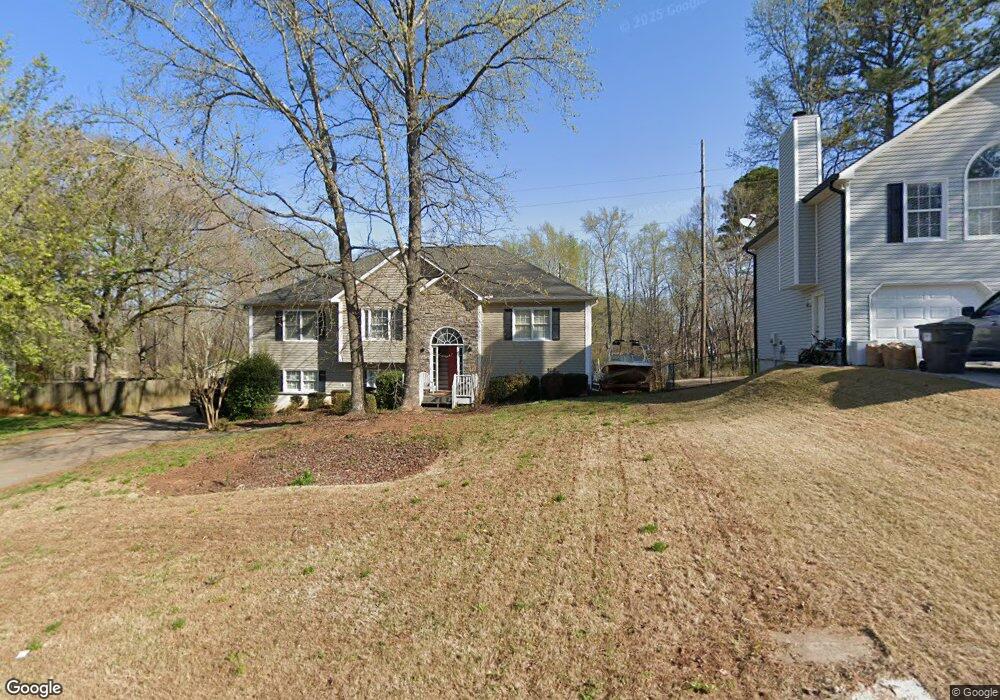
2007 Queensbury Dr Unit 1 Acworth, GA 30102
Oak Grove NeighborhoodEstimated Value: $369,106 - $389,000
3
Beds
2
Baths
1,732
Sq Ft
$219/Sq Ft
Est. Value
About This Home
This home is located at 2007 Queensbury Dr Unit 1, Acworth, GA 30102 and is currently estimated at $379,053, approximately $218 per square foot. 2007 Queensbury Dr Unit 1 is a home located in Cherokee County with nearby schools including Oak Grove Elementary School, E. T. Booth Middle School, and Etowah High School.
Ownership History
Date
Name
Owned For
Owner Type
Purchase Details
Closed on
May 31, 1996
Sold by
Rjr Construction Co
Bought by
Garland William S Jennifer
Current Estimated Value
Create a Home Valuation Report for This Property
The Home Valuation Report is an in-depth analysis detailing your home's value as well as a comparison with similar homes in the area
Home Values in the Area
Average Home Value in this Area
Purchase History
| Date | Buyer | Sale Price | Title Company |
|---|---|---|---|
| Garland William S Jennifer | $113,300 | -- |
Source: Public Records
Mortgage History
| Date | Status | Borrower | Loan Amount |
|---|---|---|---|
| Closed | Garland William S Jennifer | $0 |
Source: Public Records
Tax History Compared to Growth
Tax History
| Year | Tax Paid | Tax Assessment Tax Assessment Total Assessment is a certain percentage of the fair market value that is determined by local assessors to be the total taxable value of land and additions on the property. | Land | Improvement |
|---|---|---|---|---|
| 2025 | $3,201 | $139,256 | $32,000 | $107,256 |
| 2024 | $3,038 | $131,492 | $28,000 | $103,492 |
| 2023 | $2,556 | $129,280 | $28,000 | $101,280 |
| 2022 | $2,320 | $96,080 | $18,800 | $77,280 |
| 2021 | $2,226 | $83,760 | $18,800 | $64,960 |
| 2020 | $2,111 | $78,760 | $17,600 | $61,160 |
| 2019 | $2,121 | $79,160 | $17,600 | $61,560 |
| 2018 | $1,864 | $67,680 | $14,400 | $53,280 |
| 2017 | $1,859 | $167,100 | $14,400 | $52,440 |
| 2016 | $1,705 | $152,200 | $14,400 | $46,480 |
| 2015 | $1,739 | $153,600 | $14,400 | $47,040 |
| 2014 | $1,681 | $148,400 | $13,760 | $45,600 |
Source: Public Records
Map
Nearby Homes
- 222 Gallant Fox Way
- 307 Queensbury Walk
- 145 Winner St
- 756 Coventry Cove Way
- 752 Coventry Cove Way
- 302 Victory Commons Overlook
- 341 Brighton Bend Ln
- 337 Brighton Bend Ln
- 6390 Woodstock Rd
- 6375 Caladium Dr
- 148 Sable Trace Trail
- 585 Lee Dr
- 6312 Woodstock Rd
- 302 Seth Way
- 1216 Marlo Way
- The Fenton Plan at Buice Lake - Madison
- The Davis Plan at Buice Lake - Madison
- 400 Sable Trace Cove
- 3094 Cambridge Mill St
- 648 Devon Alley
- 2009 Queensbury Dr Unit 1
- 2005 Queensbury Dr Unit 1
- 2011 Queensbury Dr Unit 1
- 6521 Woodstock Rd
- 2008 Queensbury Dr
- 2003 Queensbury Dr
- 2013 Queensbury Dr
- 2006 Queensbury Dr
- 2004 Queensbury Dr Unit 1
- 2010 Queensbury Dr
- 6569 Woodstock Rd
- 2001 Queensbury Dr Unit 1
- 2015 Queensbury Dr Unit 1
- 2012 Queensbury Dr
- 2002 Queensbury Dr
- 2014 Queensbury Dr
- 401 Queensbury Place Unit 1
- 6537 Woodstock Rd
- 2000 Queensbury Dr
- 1000 Queensbury Run Unit 1