2007 Red Wing Way Hammonton, NJ 08037
Estimated Value: $219,604 - $342,000
Studio
--
Bath
1,040
Sq Ft
$286/Sq Ft
Est. Value
About This Home
This home is located at 2007 Red Wing Way, Hammonton, NJ 08037 and is currently estimated at $297,901, approximately $286 per square foot. 2007 Red Wing Way is a home located in Atlantic County with nearby schools including Joseph Shaner School, George L. Hess Educational Complex, and William Davies Middle School.
Ownership History
Date
Name
Owned For
Owner Type
Purchase Details
Closed on
Jun 18, 2022
Sold by
Marsh Karen E
Bought by
Marsh Karen E and Marsh Paul A
Current Estimated Value
Home Financials for this Owner
Home Financials are based on the most recent Mortgage that was taken out on this home.
Original Mortgage
$171,448
Interest Rate
7.08%
Mortgage Type
FHA
Purchase Details
Closed on
Apr 26, 2022
Sold by
Marsh Karen E
Bought by
Marsh Karen E and Marsh Paul
Home Financials for this Owner
Home Financials are based on the most recent Mortgage that was taken out on this home.
Original Mortgage
$171,448
Interest Rate
7.08%
Mortgage Type
FHA
Purchase Details
Closed on
Jun 30, 1983
Bought by
Marsh Thomas H and Marsh Karen E
Create a Home Valuation Report for This Property
The Home Valuation Report is an in-depth analysis detailing your home's value as well as a comparison with similar homes in the area
Home Values in the Area
Average Home Value in this Area
Purchase History
| Date | Buyer | Sale Price | Title Company |
|---|---|---|---|
| Marsh Karen E | -- | Allstates Title | |
| Marsh Karen E | -- | Emmer Mark G | |
| Marsh Thomas H | $51,900 | -- |
Source: Public Records
Mortgage History
| Date | Status | Borrower | Loan Amount |
|---|---|---|---|
| Previous Owner | Marsh Karen E | $171,448 |
Source: Public Records
Tax History
| Year | Tax Paid | Tax Assessment Tax Assessment Total Assessment is a certain percentage of the fair market value that is determined by local assessors to be the total taxable value of land and additions on the property. | Land | Improvement |
|---|---|---|---|---|
| 2025 | $4,965 | $144,700 | $43,600 | $101,100 |
| 2024 | $4,911 | $144,700 | $43,600 | $101,100 |
Source: Public Records
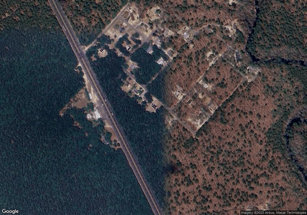
Map
Nearby Homes
- 2015 High Bank Rd
- 7423 Driftwood Ln
- 1853 Mccall Ave
- 2216 Evergreen Dr
- 2212 Evergreen Dr
- 3116 N Pinewood Dr
- First 1st Ave
- 1307 Black Horse Pike
- 7571 Strand Ave
- 351 9th St
- 1206 Black Horse Park
- 1528 Mays Landing Rd
- 7610 Venice Blvd
- 0 Belmont Ave Unit 604815
- 720 6th Rd
- 534 10th St
- 716 6th Rd
- 1101 Black Horse Pike
- 909 8th St
- 00 11th St
- 2009 Red Wing Way
- 2011 Red Wing Way
- 2003 Red Wing Way
- 2003 Deer Track Ln
- 2013 Red Wing Way
- 2004 Deer Track Ln
- 2015 Red Wing Way
- 2002 Blue Fox Ln
- 2006 Deer Track Ln
- 2003 Mohrfield Dr
- 7492 Black Horse Pike
- 2009 Deer Track Ln
- 2006 Blue Fox Ln
- 2005 Mohrfield Dr
- 2007 Bear Claw Ln
- 2008 Deer Track Ln
- 2003 Blue Fox Ln
- 2005 Blue Fox Ln
- 2008 Blue Fox Ln
- 2007 Lawrence Ln
Your Personal Tour Guide
Ask me questions while you tour the home.