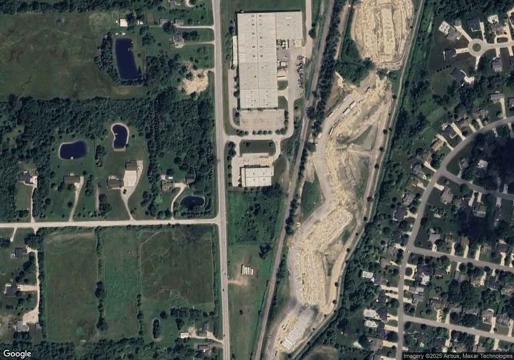
2007 S Range Rd Saint Clair, MI 48079
Estimated Value: $1,304,404
Studio
--
Bath
17,100
Sq Ft
$76/Sq Ft
Est. Value
About This Home
This home is located at 2007 S Range Rd, Saint Clair, MI 48079 and is currently estimated at $1,304,404, approximately $76 per square foot. 2007 S Range Rd is a home located in St. Clair County with nearby schools including Gearing Elementary School, St. Clair Middle School, and St. Clair High School.
Ownership History
Date
Name
Owned For
Owner Type
Purchase Details
Closed on
Sep 11, 2013
Sold by
Kott Charles R
Bought by
Cr Investments Kimball Llc
Current Estimated Value
Purchase Details
Closed on
Aug 13, 2013
Sold by
Kott Charles
Bought by
Charles R Kott Revocable Living Trust
Create a Home Valuation Report for This Property
The Home Valuation Report is an in-depth analysis detailing your home's value as well as a comparison with similar homes in the area
Home Values in the Area
Average Home Value in this Area
Purchase History
| Date | Buyer | Sale Price | Title Company |
|---|---|---|---|
| Cr Investments Kimball Llc | -- | Huron Title Co | |
| Charles R Kott Revocable Living Trust | -- | None Available | |
| Kott Charles | $500,000 | None Available |
Source: Public Records
Tax History
| Year | Tax Paid | Tax Assessment Tax Assessment Total Assessment is a certain percentage of the fair market value that is determined by local assessors to be the total taxable value of land and additions on the property. | Land | Improvement |
|---|---|---|---|---|
| 2025 | $12,993 | $337,100 | $0 | $0 |
| 2024 | $12,629 | $311,000 | $0 | $0 |
| 2023 | $11,907 | $277,600 | $0 | $0 |
| 2022 | $12,510 | $262,700 | $0 | $0 |
| 2020 | $11,869 | $258,500 | $43,700 | $214,800 |
| 2019 | $11,363 | $248,400 | $0 | $0 |
| 2018 | $11,312 | $197,500 | $0 | $0 |
| 2017 | $11,071 | $192,500 | $0 | $0 |
| 2016 | $10,462 | $192,500 | $0 | $0 |
| 2015 | -- | $188,800 | $54,300 | $134,500 |
| 2014 | -- | $190,600 | $54,300 | $136,300 |
| 2013 | -- | $224,800 | $0 | $0 |
Source: Public Records
Map
Nearby Homes
- 740 Highland Dr
- 0 Braeburn Dr Unit 6
- 592 Snowbird Cir E
- 4455 Irene Dr
- 513 N 6th St
- 669 N Riverside Ave Unit 4
- 1991 Karen Ave
- 2 Riley
- 1 S Carney Dr
- 770 N Riverside Ave
- 1936 Shelldrake Ln Unit Lot 29
- 1924 Shelldrake Ln Unit 32
- 252 Shelldrake Ln
- 211 N Carney Dr
- 1 Shelldrake Ln
- 2 Shelldrake Ln
- 2 S Carney Dr Unit Lot TBD
- 3 S Carney Dr
- 1932 Sheldrake Ln
- 249 Shelldrake Ln
- 0 Ketchum Rd
- 4538 Ketchum Rd
- 2290 S Range Rd
- 2264 S Range Rd
- 4566 Ketchum Rd
- 1138 Highland Dr
- 1114 Highland Dr
- 1102 Highland Dr
- 1148 Highland Dr
- 1086 Highland Dr
- 1158 Highland Dr
- 2450 S Range Rd
- 936 Brown St
- 1060 Highland Dr
- 752 Highland Dr
- 4590 Ketchum Rd
- 658 Gleneagles
- 2240 S Range Rd
- 745 Turnberry Dr
- 1050 Highland Dr Unit Bldg-Unit
