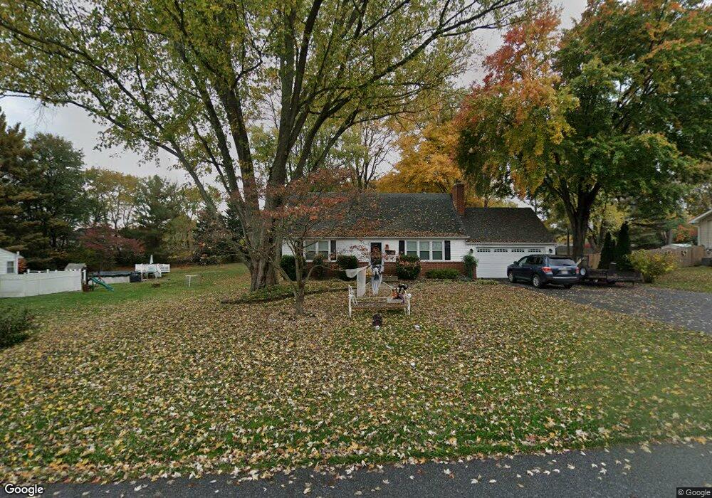
2007 Sherryl Ave Sykesville, MD 21784
Estimated Value: $538,000 - $558,338
4
Beds
3
Baths
2,600
Sq Ft
$211/Sq Ft
Est. Value
About This Home
This home is located at 2007 Sherryl Ave, Sykesville, MD 21784 and is currently estimated at $549,335, approximately $211 per square foot. 2007 Sherryl Ave is a home located in Carroll County with nearby schools including Carrolltowne Elementary School, Oklahoma Road Middle School, and Liberty High School.
Ownership History
Date
Name
Owned For
Owner Type
Purchase Details
Closed on
Oct 28, 2011
Sold by
Lingle Russell T and Lingle Isabelle A
Bought by
Borgfeld Steven A and Borgfeld Christina Nicole
Current Estimated Value
Home Financials for this Owner
Home Financials are based on the most recent Mortgage that was taken out on this home.
Original Mortgage
$297,000
Outstanding Balance
$202,427
Interest Rate
4.01%
Mortgage Type
VA
Estimated Equity
$346,908
Create a Home Valuation Report for This Property
The Home Valuation Report is an in-depth analysis detailing your home's value as well as a comparison with similar homes in the area
Home Values in the Area
Average Home Value in this Area
Purchase History
| Date | Buyer | Sale Price | Title Company |
|---|---|---|---|
| Borgfeld Steven A | $297,000 | Chicago Title Insurance Comp |
Source: Public Records
Mortgage History
| Date | Status | Borrower | Loan Amount |
|---|---|---|---|
| Open | Borgfeld Steven A | $297,000 |
Source: Public Records
Tax History Compared to Growth
Tax History
| Year | Tax Paid | Tax Assessment Tax Assessment Total Assessment is a certain percentage of the fair market value that is determined by local assessors to be the total taxable value of land and additions on the property. | Land | Improvement |
|---|---|---|---|---|
| 2025 | $4,230 | $377,200 | $0 | $0 |
| 2024 | $4,230 | $359,600 | $174,300 | $185,300 |
| 2023 | $4,095 | $347,567 | $0 | $0 |
| 2022 | $3,960 | $335,533 | $0 | $0 |
| 2021 | $8,043 | $323,500 | $144,300 | $179,200 |
| 2020 | $3,827 | $322,500 | $0 | $0 |
| 2019 | $3,816 | $321,500 | $0 | $0 |
| 2018 | $3,772 | $320,500 | $144,300 | $176,200 |
| 2017 | $3,657 | $310,233 | $0 | $0 |
| 2016 | -- | $299,967 | $0 | $0 |
| 2015 | -- | $289,700 | $0 | $0 |
| 2014 | -- | $286,233 | $0 | $0 |
Source: Public Records
Map
Nearby Homes
- 2003 Rudy Serra Dr Unit 1D
- 2010 Rudy Serra Dr Unit C
- 2023 Rudy Serra Dr Unit 2D
- 2016 Rudy Serra Dr Unit A
- 2016 Rudy Serra Dr Unit C
- Lot 1 Carroll Highlands Rd
- 6515 Dundee Dr Unit 240
- 1909 Lennox Dr Unit 90
- 1809 Fallstaff Ct
- 1822 Cassandra Dr Unit 117
- 6670 Slacks Rd
- 1900 Lennox Dr Unit 41
- 1900 Lennox Dr Unit 49
- 6467 Cornwall Dr Unit 56
- 6819 Ridge Rd
- 6565 Macbeth Way
- 7025 Macbeth Way
- 7010 Macbeth Way
- 4017 Rudy Dr
- 1714 Botanical Ct Unit 23
- 2005 Sherryl Ave
- 2011 Sherryl Ave
- 2003 Sherryl Ave
- 2008 Sherryl Ave
- 2006 Sherryl Ave
- 2010 Sherryl Ave
- 2004 Sherryl Ave
- 2012 Sherryl Ave
- 6702 Purple Martin Ct
- 6611 Monroe Ave
- 6607 Monroe Ave
- 2014 Sherryl Ave
- 2002 Rudy Serra Dr Unit B
- 2002 Rudy Serra Dr Unit C
- 2002 Rudy Serra Dr Unit D
- 2002 Rudy Serra Dr Unit A
- 6700 Purple Martin Ct
- 2019 Sherryl Ave
- 6704 Purple Martin Ct
- 2000 Rudy Serra Dr Unit A