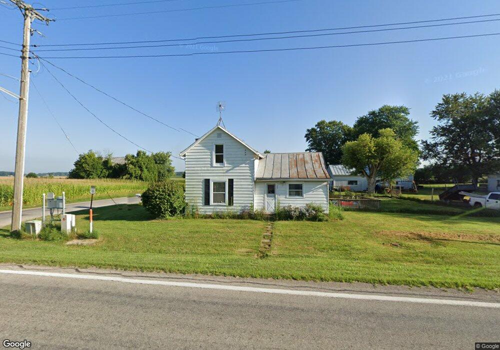
2007 State Route 95 Edison, OH 43320
Estimated Value: $92,000 - $255,000
3
Beds
1
Bath
1,475
Sq Ft
$101/Sq Ft
Est. Value
About This Home
This home is located at 2007 State Route 95, Edison, OH 43320 and is currently estimated at $148,411, approximately $100 per square foot. 2007 State Route 95 is a home located in Morrow County with nearby schools including Park Avenue Elementary School, Mt Gilead Middle School, and Mt Gilead High School.
Ownership History
Date
Name
Owned For
Owner Type
Purchase Details
Closed on
Oct 13, 2021
Bought by
Anna E Hochstetler
Current Estimated Value
Home Financials for this Owner
Home Financials are based on the most recent Mortgage that was taken out on this home.
Interest Rate
2.99%
Purchase Details
Closed on
Jun 19, 1998
Sold by
Taylor Jeffery Scott
Bought by
Taylor Jeffrey Scott
Purchase Details
Closed on
Dec 1, 1979
Bought by
Taylor Jeffery Scott
Create a Home Valuation Report for This Property
The Home Valuation Report is an in-depth analysis detailing your home's value as well as a comparison with similar homes in the area
Purchase History
| Date | Buyer | Sale Price | Title Company |
|---|---|---|---|
| Anna E Hochstetler | $69,000 | -- | |
| Taylor Jeffrey Scott | -- | -- | |
| Taylor Jeffery Scott | $36,500 | -- |
Source: Public Records
Mortgage History
| Date | Status | Borrower | Loan Amount |
|---|---|---|---|
| Closed | Anna E Hochstetler | -- |
Source: Public Records
Tax History
| Year | Tax Paid | Tax Assessment Tax Assessment Total Assessment is a certain percentage of the fair market value that is determined by local assessors to be the total taxable value of land and additions on the property. | Land | Improvement |
|---|---|---|---|---|
| 2025 | $231 | $5,010 | $1,160 | $3,850 |
| 2024 | $252 | $5,010 | $1,160 | $3,850 |
| 2023 | $252 | $5,010 | $1,160 | $3,850 |
| 2022 | $315 | $5,920 | $1,370 | $4,550 |
| 2021 | $301 | $5,920 | $1,370 | $4,550 |
| 2020 | $301 | $5,920 | $1,370 | $4,550 |
| 2019 | $262 | $5,010 | $1,160 | $3,850 |
| 2018 | $262 | $5,010 | $1,160 | $3,850 |
| 2017 | $236 | $5,010 | $1,160 | $3,850 |
| 2016 | $250 | $5,360 | $1,160 | $4,200 |
| 2015 | $228 | $5,360 | $1,160 | $4,200 |
| 2014 | $231 | $5,360 | $1,160 | $4,200 |
| 2013 | $230 | $5,360 | $1,160 | $4,200 |
Source: Public Records
Map
Nearby Homes
- 0 Township Road 65
- 1641 County Road 27
- 210 State St
- 7485 Township Road 71
- 0 Township Road 145 Lot B Unit 226004537
- 0 Township Road 145 Lot B Unit 20260082
- 0 Township Road 145 Lot B Unit 9070486
- 0 Township Road 145 Lot A Unit 9070485
- 0 Township Road 145 Lot A Unit 20260081
- 0 Township Road 145 Lot A Unit 226004534
- 106 William St
- 3341 Township Highway 145
- 103 Dixon St
- 36 West St
- 2946 Martel Rd
- 246 S High St
- 5720 County Road 30
- 761 Claridon Northern Rd
- 210 S Elm St
- 316 N Main St
- 2007 State Route 95
- 2015 State Route 95
- 6223 County Road 28
- 6223 Co 28 Rd
- 2027 State Route 95
- 2004 State Route 95
- 6223 Co 28 Rd
- 2033 State Route 95
- 2028 State Route 95
- 1990 State Route 95
- 6183 County Road 28
- 6245 County Road 28
- 2036 State Route 95
- 1986 State Route 95
- 6178 County Road 28
- 2059 State Route 95
- 6156 County Road 28
- 2149 State Route 95
- 6370 County Road 28
- 6046 County Road 28
Your Personal Tour Guide
Ask me questions while you tour the home.