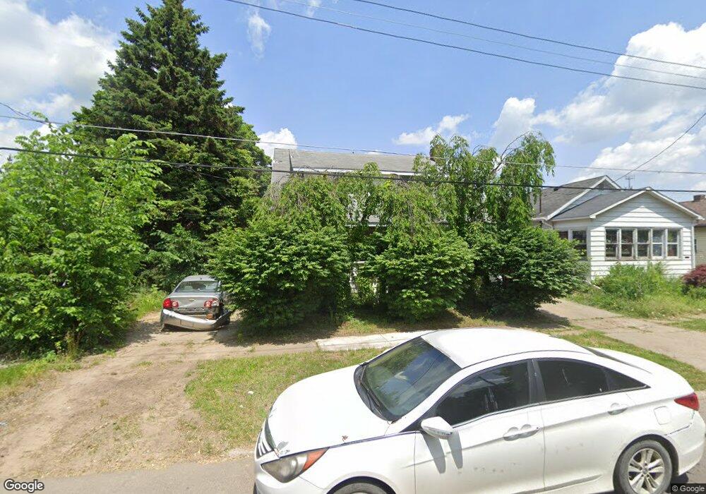
2007 Weaver St Flint, MI 48506
Eastside NeighborhoodEstimated Value: $35,000 - $68,331
4
Beds
3
Baths
1,152
Sq Ft
$46/Sq Ft
Est. Value
About This Home
This home is located at 2007 Weaver St, Flint, MI 48506 and is currently estimated at $52,833, approximately $45 per square foot. 2007 Weaver St is a home located in Genesee County with nearby schools including Brownell STEM Academy, Richfield Public School Academy, and Richfield Early Learning Center.
Ownership History
Date
Name
Owned For
Owner Type
Purchase Details
Closed on
Sep 23, 2025
Sold by
Genesee County Treasurer
Bought by
Brandt Thomas L
Current Estimated Value
Purchase Details
Closed on
Jan 18, 2019
Sold by
The Genese County Land Bank Authority
Bought by
Washington Darell Michael
Home Financials for this Owner
Home Financials are based on the most recent Mortgage that was taken out on this home.
Original Mortgage
$15,300
Interest Rate
4.6%
Mortgage Type
Seller Take Back
Purchase Details
Closed on
Apr 13, 2011
Sold by
The Genesee County Land Bank Authority
Bought by
Entrekin Keith
Create a Home Valuation Report for This Property
The Home Valuation Report is an in-depth analysis detailing your home's value as well as a comparison with similar homes in the area
Home Values in the Area
Average Home Value in this Area
Purchase History
| Date | Buyer | Sale Price | Title Company |
|---|---|---|---|
| Brandt Thomas L | $8,000 | None Listed On Document | |
| Washington Darell Michael | $17,000 | None Available | |
| Entrekin Keith | $10,000 | None Available |
Source: Public Records
Mortgage History
| Date | Status | Borrower | Loan Amount |
|---|---|---|---|
| Previous Owner | Washington Darell Michael | $15,300 | |
| Closed | Entrekin Keith | $0 |
Source: Public Records
Tax History
| Year | Tax Paid | Tax Assessment Tax Assessment Total Assessment is a certain percentage of the fair market value that is determined by local assessors to be the total taxable value of land and additions on the property. | Land | Improvement |
|---|---|---|---|---|
| 2025 | $1,297 | $27,500 | $0 | $0 |
| 2024 | $1,198 | $22,600 | $0 | $0 |
| 2023 | $1,168 | $20,500 | $0 | $0 |
| 2022 | $0 | $13,700 | $0 | $0 |
| 2021 | $1,185 | $13,000 | $0 | $0 |
| 2020 | $1,087 | $12,500 | $0 | $0 |
| 2019 | $277 | $0 | $0 | $0 |
| 2018 | $639 | $8,100 | $0 | $0 |
| 2017 | $870 | $0 | $0 | $0 |
| 2016 | $820 | $0 | $0 | $0 |
| 2015 | -- | $0 | $0 | $0 |
| 2014 | -- | $0 | $0 | $0 |
| 2012 | -- | $16,700 | $0 | $0 |
Source: Public Records
Map
Nearby Homes
- 1805 Montana Ave
- 1510 Utah Ave
- 1526 Arizona Ave
- 1623 Montana Ave
- 1733 Oklahoma Ave
- 2935 Richfield Rd
- 1730 Oklahoma Ave
- 1526 Montana Ave
- 4127 Coggins Ave
- 2975 Henry St
- 2217 Maryland Ave
- 1518 Leith St
- 2925 Colorado Ave
- 3010 Wyoming Ave
- 1422 Leith St
- 1721 New York Ave
- 2506 Arlington Ave
- 2908 Douglas Ave
- 1629 New York Ave
- 1445 Maryland Ave
- 1923 Weaver St
- 2009 Weaver St
- 2013 Weaver St
- 2014 Richfield Rd
- 1928 Weaver St
- 1924 Weaver St
- 1911 Weaver St
- 2014 Weaver St
- 2018 Weaver St
- 1916 Weaver St
- 1927 Colon St
- 2005 Colon St
- 1923 Colon St
- 2001 Colon St
- 1919 Colon St
- 3918 N Franklin Ave
- 1915 Colon St
- 3910 N Franklin Ave
- 3906 N Franklin Ave
- 3902 N Franklin Ave
Your Personal Tour Guide
Ask me questions while you tour the home.