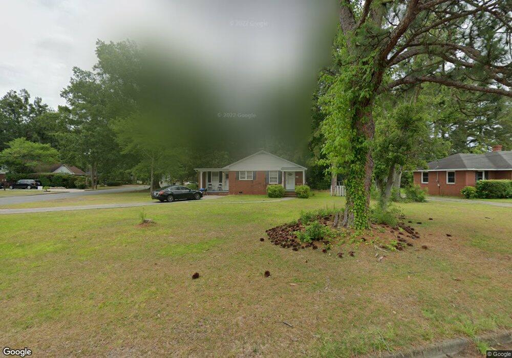
2007 West Rd Kinston, NC 28501
Estimated Value: $118,356 - $177,000
3
Beds
1
Bath
1,292
Sq Ft
$107/Sq Ft
Est. Value
About This Home
This home is located at 2007 West Rd, Kinston, NC 28501 and is currently estimated at $138,839, approximately $107 per square foot. 2007 West Rd is a home located in Lenoir County with nearby schools including Northwest Elementary School, Rochelle Middle School, and Kinston High School.
Ownership History
Date
Name
Owned For
Owner Type
Purchase Details
Closed on
Mar 24, 2023
Sold by
Sumz Properties Llc
Bought by
Barbe Jacob Alan and Barbe Cherise Ann
Current Estimated Value
Purchase Details
Closed on
May 21, 2021
Sold by
Mitchell Elizabeth Grey
Bought by
Sumz Properties Llc
Home Financials for this Owner
Home Financials are based on the most recent Mortgage that was taken out on this home.
Original Mortgage
$120,000
Interest Rate
3%
Mortgage Type
Purchase Money Mortgage
Purchase Details
Closed on
Jun 4, 2020
Sold by
Mundine Harold T and Mundine Sylvia J
Bought by
Sumz Properties Llc
Create a Home Valuation Report for This Property
The Home Valuation Report is an in-depth analysis detailing your home's value as well as a comparison with similar homes in the area
Home Values in the Area
Average Home Value in this Area
Purchase History
| Date | Buyer | Sale Price | Title Company |
|---|---|---|---|
| Barbe Jacob Alan | $155,000 | -- | |
| Barbe Jacob Alan | $155,000 | None Listed On Document | |
| Sumz Properties Llc | $75,000 | None Available | |
| Sumz Properties Llc | $12,000 | None Available |
Source: Public Records
Mortgage History
| Date | Status | Borrower | Loan Amount |
|---|---|---|---|
| Previous Owner | Sumz Properties Llc | $120,000 |
Source: Public Records
Tax History Compared to Growth
Tax History
| Year | Tax Paid | Tax Assessment Tax Assessment Total Assessment is a certain percentage of the fair market value that is determined by local assessors to be the total taxable value of land and additions on the property. | Land | Improvement |
|---|---|---|---|---|
| 2025 | $1,301 | $92,626 | $21,099 | $71,527 |
| 2024 | $998 | $61,781 | $9,000 | $52,781 |
| 2023 | $998 | $61,781 | $9,000 | $52,781 |
| 2022 | $998 | $61,781 | $9,000 | $52,781 |
| 2021 | $998 | $61,781 | $9,000 | $52,781 |
| 2020 | $973 | $61,781 | $9,000 | $52,781 |
| 2019 | $973 | $61,781 | $9,000 | $52,781 |
| 2018 | $945 | $61,781 | $9,000 | $52,781 |
| 2017 | $948 | $61,781 | $9,000 | $52,781 |
| 2014 | $1,069 | $71,496 | $9,000 | $62,496 |
| 2013 | -- | $71,496 | $9,000 | $62,496 |
| 2011 | -- | $71,496 | $9,000 | $62,496 |
Source: Public Records
Map
Nearby Homes
- 909 Cameron Dr
- 807 Cameron Dr
- 7569 Carey Rd
- 707 Cameron Dr
- 825 Westminster Ln
- 746 Colony Place
- 847 Westminster Ln
- 844 Westminster Ln
- 1912 Greenbriar Rd
- 1404 Carey Rd
- 1205 W Highland Ave
- 1500 Pollock St
- 1206 W Highland Ave
- 1602 N Herritage St
- 902 Rosanne Dr
- Lot 13 Darby Ave
- 2 Boy Scout Blvd
- 2402 Carey Rd
- 1214 Sweetbriar Cir
- 705 Rountree Ave