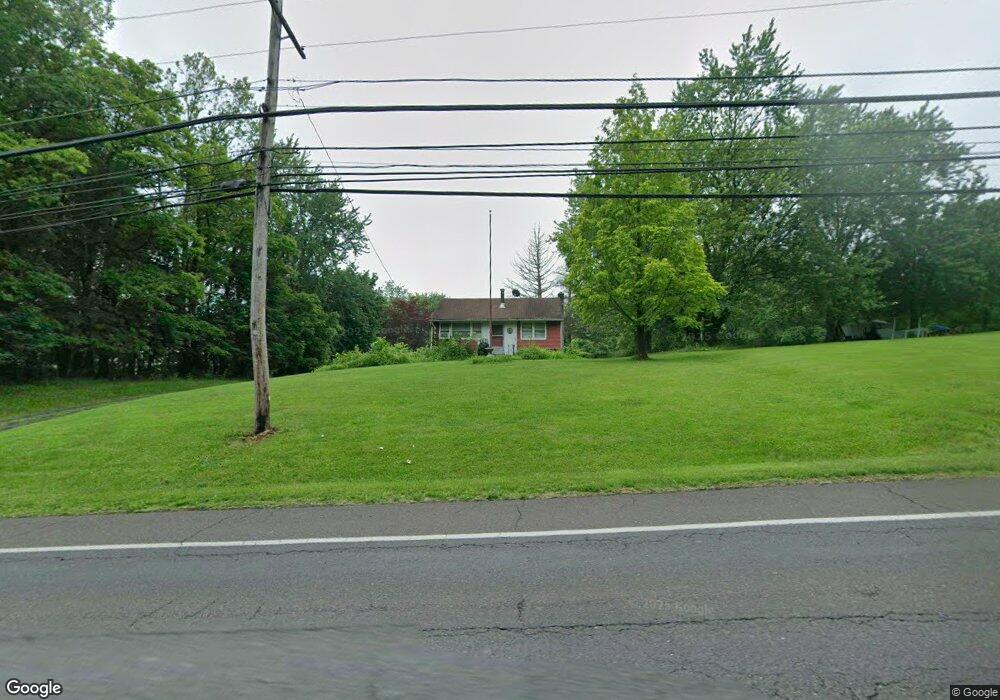
2008 Bristol Rd Warrington, PA 18976
Estimated Value: $362,000 - $772,000
1
Bed
1
Bath
696
Sq Ft
$709/Sq Ft
Est. Value
About This Home
This home is located at 2008 Bristol Rd, Warrington, PA 18976 and is currently estimated at $493,491, approximately $709 per square foot. 2008 Bristol Rd is a home located in Bucks County with nearby schools including Barclay Elementary School, Tamanend Middle School, and Central Bucks High School - South.
Ownership History
Date
Name
Owned For
Owner Type
Purchase Details
Closed on
Jan 16, 2002
Sold by
Mogg William C and Mogg Mary Ellen
Bought by
Mogg William C
Current Estimated Value
Home Financials for this Owner
Home Financials are based on the most recent Mortgage that was taken out on this home.
Original Mortgage
$40,000
Interest Rate
7.01%
Purchase Details
Closed on
Nov 2, 1978
Bought by
Mogg William C and Mogg Mary E
Create a Home Valuation Report for This Property
The Home Valuation Report is an in-depth analysis detailing your home's value as well as a comparison with similar homes in the area
Home Values in the Area
Average Home Value in this Area
Purchase History
| Date | Buyer | Sale Price | Title Company |
|---|---|---|---|
| Mogg William C | -- | -- | |
| Mogg William C | $45,000 | -- |
Source: Public Records
Mortgage History
| Date | Status | Borrower | Loan Amount |
|---|---|---|---|
| Closed | Mogg William C | $40,000 | |
| Closed | Mogg William C | $30,000 |
Source: Public Records
Tax History Compared to Growth
Tax History
| Year | Tax Paid | Tax Assessment Tax Assessment Total Assessment is a certain percentage of the fair market value that is determined by local assessors to be the total taxable value of land and additions on the property. | Land | Improvement |
|---|---|---|---|---|
| 2025 | $3,175 | $17,200 | $8,760 | $8,440 |
| 2024 | $3,175 | $17,200 | $8,760 | $8,440 |
| 2023 | $2,940 | $17,200 | $8,760 | $8,440 |
| 2022 | $2,882 | $17,200 | $8,760 | $8,440 |
| 2021 | $2,850 | $17,200 | $8,760 | $8,440 |
| 2020 | $2,850 | $17,200 | $8,760 | $8,440 |
| 2019 | $2,832 | $17,200 | $8,760 | $8,440 |
| 2018 | $2,801 | $17,200 | $8,760 | $8,440 |
| 2017 | $2,763 | $17,200 | $8,760 | $8,440 |
| 2016 | $2,754 | $17,200 | $8,760 | $8,440 |
| 2015 | -- | $17,200 | $8,760 | $8,440 |
| 2014 | -- | $17,200 | $8,760 | $8,440 |
Source: Public Records
Map
Nearby Homes
- 1992 Falabella Cir
- 1447 Bentley Dr
- 1656 S Ash Cir
- 2226 Orchard Hill Cir
- 1402 Valley View
- 1805 Roan Dr
- 2234 Evin Dr
- 2302 MacIs Cir
- 0 W Bristol Rd
- 1559 Deer Run Rd
- Kingswood Plan at Breton Hill
- Mayweather Plan at Breton Hill
- Cloverfield Plan at Breton Hill
- Raintree Plan at Breton Hill
- Rollins Plan at Breton Hill
- 2150 Hilltop Ln
- 6220 Meridian Blvd
- 5327 Meridian Blvd
- 4219 Meridian Blvd
- 4105 Meridian Blvd
- 2026 Bristol Rd
- 1340 Shadow Creek Ln
- 1336 Shadow Creek Ln
- 2009 Bristol Rd
- 1332 Shadow Creek Ln
- 1985 Bristol Rd
- 2046 Bristol Rd
- 1328 Shadow Creek Ln
- 1339 Shadow Creek Ln
- 1304 Blossom Ct
- 1337 Shadow Creek Ln
- 1324 Shadow Creek Ln
- 1300 Blossom Ct
- 1335 Shadow Creek Ln
- 2056 Bristol Rd
- 2057 Bristol Rd
- 1308 Blossom Ct
- 1320 Shadow Creek Ln
- 2066 Bristol Rd
- 2036 Bristol Rd