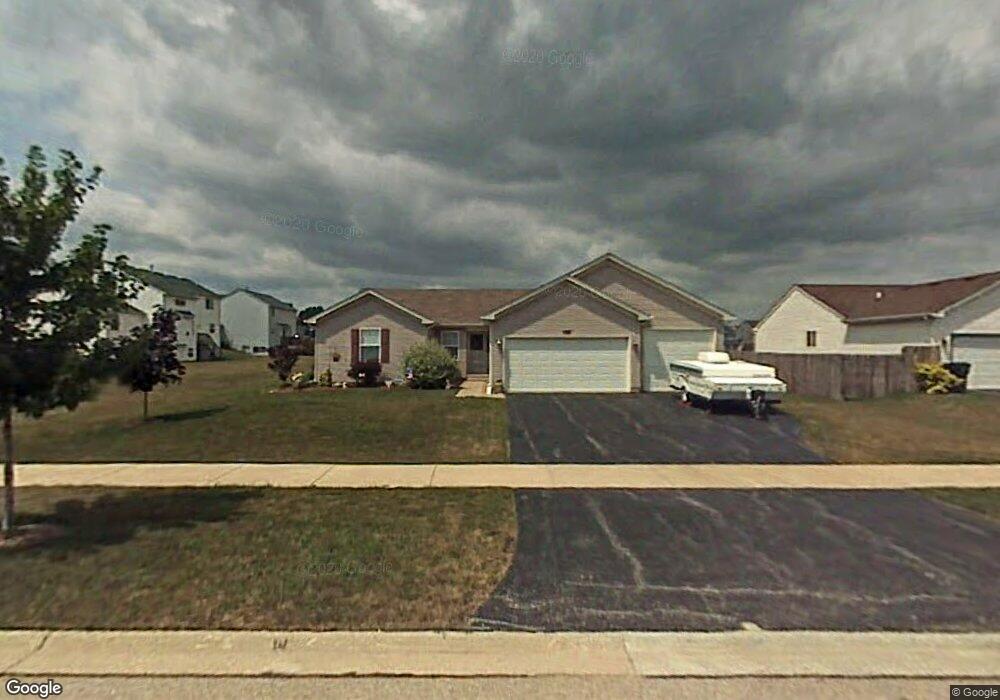
2008 Daybreak Ln Zion, IL 60099
West Zion NeighborhoodEstimated Value: $311,000 - $351,000
3
Beds
2
Baths
1,676
Sq Ft
$199/Sq Ft
Est. Value
About This Home
This home is located at 2008 Daybreak Ln, Zion, IL 60099 and is currently estimated at $332,982, approximately $198 per square foot. 2008 Daybreak Ln is a home located in Lake County with nearby schools including Kenneth Murphy School, Beach Park Middle School, and Zion-Benton Township High School.
Ownership History
Date
Name
Owned For
Owner Type
Purchase Details
Closed on
May 22, 2001
Sold by
Bank Of Waukegan
Bought by
Pederson Michael E and Pederson Michelle M
Current Estimated Value
Home Financials for this Owner
Home Financials are based on the most recent Mortgage that was taken out on this home.
Original Mortgage
$142,750
Outstanding Balance
$52,976
Interest Rate
7.11%
Estimated Equity
$280,006
Purchase Details
Closed on
Jan 16, 2001
Sold by
Bank Of Waukegan
Bought by
Bank Of Waukegan and Trust #203961
Create a Home Valuation Report for This Property
The Home Valuation Report is an in-depth analysis detailing your home's value as well as a comparison with similar homes in the area
Home Values in the Area
Average Home Value in this Area
Purchase History
| Date | Buyer | Sale Price | Title Company |
|---|---|---|---|
| Pederson Michael E | $183,500 | -- | |
| Bank Of Waukegan | $37,000 | -- |
Source: Public Records
Mortgage History
| Date | Status | Borrower | Loan Amount |
|---|---|---|---|
| Open | Pederson Michael E | $142,750 |
Source: Public Records
Tax History Compared to Growth
Tax History
| Year | Tax Paid | Tax Assessment Tax Assessment Total Assessment is a certain percentage of the fair market value that is determined by local assessors to be the total taxable value of land and additions on the property. | Land | Improvement |
|---|---|---|---|---|
| 2024 | $9,291 | $86,763 | $15,130 | $71,633 |
| 2023 | $9,757 | $72,296 | $12,607 | $59,689 |
| 2022 | $9,757 | $80,780 | $10,325 | $70,455 |
| 2021 | $9,620 | $75,779 | $9,686 | $66,093 |
| 2020 | $9,281 | $71,274 | $9,110 | $62,164 |
| 2019 | $9,030 | $66,394 | $8,486 | $57,908 |
| 2018 | $8,091 | $59,033 | $7,700 | $51,333 |
| 2017 | $7,935 | $54,762 | $7,143 | $47,619 |
| 2016 | $7,356 | $49,711 | $6,484 | $43,227 |
| 2015 | $7,059 | $45,105 | $5,883 | $39,222 |
| 2014 | $6,098 | $40,659 | $5,475 | $35,184 |
| 2012 | $6,603 | $43,301 | $5,831 | $37,470 |
Source: Public Records
Map
Nearby Homes
- 2010 Sunset Ct
- 41320 N Green Bay Rd
- 4533 Illinois 173
- 4539 Illinois 173
- 42334 N Heritage Lot 7 Trail
- 12434 W Van Ct
- 4109 Sarah Dr
- 2407 Phillip Dr
- 2414 Phillip Dr
- 2407 Miriam Ave
- 2413 Michael Ave
- 4013 Ridge Rd
- 1304 Lorelei Dr
- 1302 Lorelei Dr
- 3717 Willow Crest Dr
- 3707 Willow Crest Dr
- 1210 Lorelei Dr
- 3404 Sarah Dr
- 1304 Pelican Ct
- 1531 Southport Ct