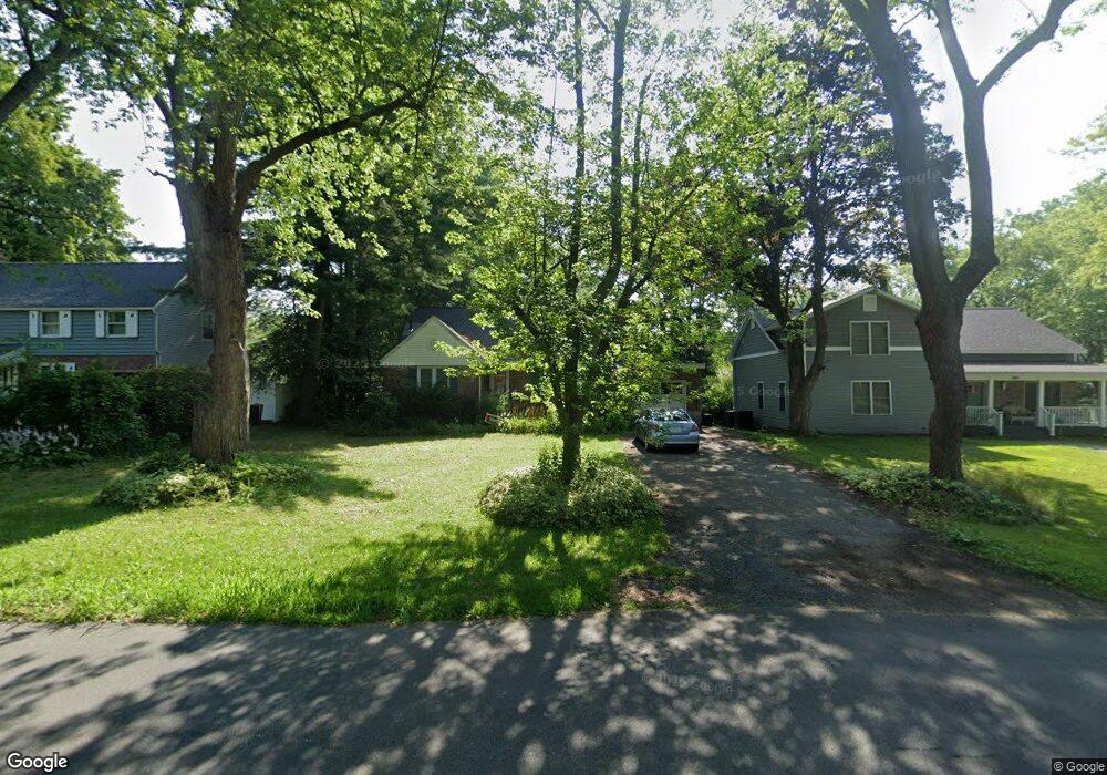
2008 Dean St Schenectady, NY 12309
Estimated Value: $303,392 - $366,000
4
Beds
1
Bath
1,411
Sq Ft
$235/Sq Ft
Est. Value
About This Home
This home is located at 2008 Dean St, Schenectady, NY 12309 and is currently estimated at $331,848, approximately $235 per square foot. 2008 Dean St is a home located in Schenectady County with nearby schools including Craig Elementary School, Van Antwerp Middle School, and Iroquois Middle School.
Ownership History
Date
Name
Owned For
Owner Type
Purchase Details
Closed on
Jul 26, 2005
Sold by
Trust Barrie
Bought by
Flores Jessica L
Current Estimated Value
Home Financials for this Owner
Home Financials are based on the most recent Mortgage that was taken out on this home.
Original Mortgage
$145,350
Outstanding Balance
$83,040
Interest Rate
7.05%
Mortgage Type
Adjustable Rate Mortgage/ARM
Estimated Equity
$248,808
Purchase Details
Closed on
Feb 21, 1996
Create a Home Valuation Report for This Property
The Home Valuation Report is an in-depth analysis detailing your home's value as well as a comparison with similar homes in the area
Home Values in the Area
Average Home Value in this Area
Purchase History
| Date | Buyer | Sale Price | Title Company |
|---|---|---|---|
| Flores Jessica L | $171,000 | Richard Reisman | |
| -- | -- | -- |
Source: Public Records
Mortgage History
| Date | Status | Borrower | Loan Amount |
|---|---|---|---|
| Open | Flores Jessica L | $145,350 |
Source: Public Records
Tax History
| Year | Tax Paid | Tax Assessment Tax Assessment Total Assessment is a certain percentage of the fair market value that is determined by local assessors to be the total taxable value of land and additions on the property. | Land | Improvement |
|---|---|---|---|---|
| 2024 | $8,541 | $190,000 | $41,700 | $148,300 |
| 2023 | $87 | $190,000 | $41,700 | $148,300 |
| 2022 | $8,456 | $190,000 | $41,700 | $148,300 |
| 2021 | $6,925 | $190,000 | $41,700 | $148,300 |
| 2020 | $6,175 | $190,000 | $41,700 | $148,300 |
| 2019 | $3,131 | $190,000 | $41,700 | $148,300 |
| 2018 | $6,168 | $190,000 | $41,700 | $148,300 |
| 2017 | $5,932 | $190,000 | $41,700 | $148,300 |
| 2016 | $6,213 | $190,000 | $41,700 | $148,300 |
| 2015 | -- | $190,000 | $41,700 | $148,300 |
| 2014 | -- | $190,000 | $41,700 | $148,300 |
Source: Public Records
Map
Nearby Homes
- 2041 Morrow Ave
- 1549 Wyoming Ave
- 2324 Niskayuna Dr
- 1535 Myron St
- 1527 Dean St
- 1971 Nott St
- 2303 Balltown Rd
- 1501 Baker Ave
- 2313 Balltown Rd
- 1829 Pawtucket Ave
- 2135 Morrow Ave
- 1450 Baker Ave
- 14 Carrie Ct
- 2066 Orchard Park Dr
- 1377 Tracy Ave
- 2370 Nott St E Unit 2370
- 1301 Belmont Ave
- 241 Mohawk Trail
- 1345 Tracy Ave
- 2131 Grand Blvd
Your Personal Tour Guide
Ask me questions while you tour the home.