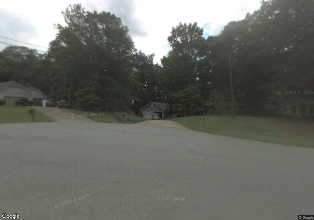
2008 Estate Ct Woodstock, GA 30188
Union Hill NeighborhoodEstimated Value: $413,159 - $499,000
3
Beds
2
Baths
2,069
Sq Ft
$212/Sq Ft
Est. Value
About This Home
This home is located at 2008 Estate Ct, Woodstock, GA 30188 and is currently estimated at $438,540, approximately $211 per square foot. 2008 Estate Ct is a home located in Cherokee County with nearby schools including Mountain Road Elementary School, Rusk Middle School, and Sequoyah High School.
Ownership History
Date
Name
Owned For
Owner Type
Purchase Details
Closed on
Nov 29, 1999
Sold by
Coulston Lawrence D and Coulston Terri J
Bought by
Derry David and Derry Judy
Current Estimated Value
Home Financials for this Owner
Home Financials are based on the most recent Mortgage that was taken out on this home.
Original Mortgage
$110,000
Outstanding Balance
$33,493
Interest Rate
7.94%
Mortgage Type
New Conventional
Estimated Equity
$405,047
Create a Home Valuation Report for This Property
The Home Valuation Report is an in-depth analysis detailing your home's value as well as a comparison with similar homes in the area
Home Values in the Area
Average Home Value in this Area
Purchase History
| Date | Buyer | Sale Price | Title Company |
|---|---|---|---|
| Derry David | $169,900 | -- |
Source: Public Records
Mortgage History
| Date | Status | Borrower | Loan Amount |
|---|---|---|---|
| Open | Derry David | $110,000 |
Source: Public Records
Tax History Compared to Growth
Tax History
| Year | Tax Paid | Tax Assessment Tax Assessment Total Assessment is a certain percentage of the fair market value that is determined by local assessors to be the total taxable value of land and additions on the property. | Land | Improvement |
|---|---|---|---|---|
| 2025 | $751 | $141,436 | $19,400 | $122,036 |
| 2024 | $757 | $135,420 | $19,400 | $116,020 |
| 2023 | $572 | $130,212 | $19,400 | $110,812 |
| 2022 | $740 | $128,172 | $19,400 | $108,772 |
| 2021 | $750 | $114,052 | $19,400 | $94,652 |
| 2020 | $718 | $104,612 | $19,400 | $85,212 |
| 2019 | $684 | $95,600 | $18,000 | $77,600 |
| 2018 | $669 | $88,400 | $18,000 | $70,400 |
| 2017 | $679 | $216,700 | $18,000 | $68,680 |
| 2016 | $659 | $191,200 | $12,000 | $64,480 |
| 2015 | $646 | $170,900 | $12,000 | $56,360 |
| 2014 | $626 | $163,700 | $12,000 | $53,480 |
Source: Public Records
Map
Nearby Homes
- 0 Tribal Trail Unit 7650851
- 0 Tribal Trail Unit 10609732
- 130 Junaluska Dr
- 303 River Laurel Way
- 930 Shepards Ct
- 210 River Laurel Way
- 1058 Arnold Mill Rd
- 877 Arnold Mill Rd
- 533 Mountain Rd
- 619 Stoney Creek Rd
- 1320 Cashiers Way
- 104 Lenore Ct
- 239 Aberdeen Way
- 234 Aberdeen Way
- 1260 Cashiers Way
- 16180 Grand Litchfield Dr
- 778 Arnold Mill Rd
- 740 Dunscore Ct
- 13530 Old Chadwick Ln
- 2006 Estate Ct
- 2007 Estate Ct
- 158 Junaluska Dr Unit 2
- 154 Junaluska Dr
- 154 Junaluska Dr Unit II
- 156 Junaluska Dr
- 160 Junaluska Dr Unit II
- 152 Junaluska Dr
- 2005 Estate Ct
- 2003 Estate Ct
- 0 Estate Ct
- 605 John Ross Ct Unit 2
- 607 John Ross Ct
- 2004 Estate Ct
- 162 Junaluska Dr Unit 2
- 2001 Estate Ct
- 150 Junaluska Dr Unit 2
- 2002 Estate Ct
- 2002 Estate Ct
- 2002 Estate Ct Unit 2002