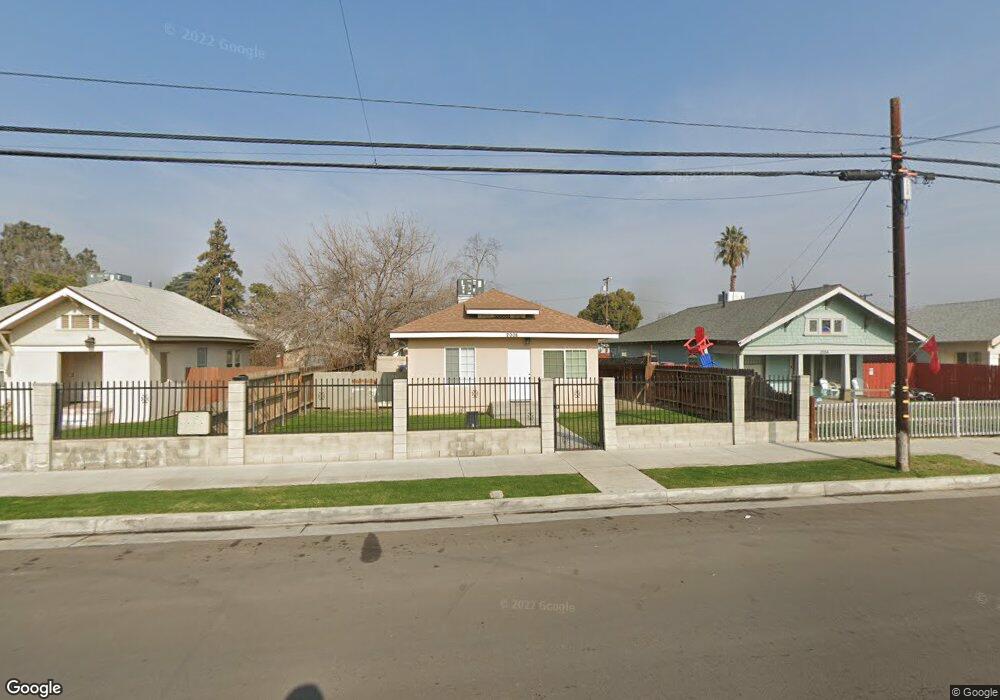
2008 Forrest St Bakersfield, CA 93304
Oleander-Sunset NeighborhoodEstimated Value: $168,000 - $238,000
About This Home
This home is located at 2008 Forrest St, Bakersfield, CA 93304 and is currently estimated at $208,534, approximately $263 per square foot. 2008 Forrest St is a home located in Kern County with nearby schools including William Penn Elementary School, Emerson Middle School, and Bakersfield High School.
Ownership History
We collect this data history from publicly available records. To have your information removed, we recommend requesting removal directly through your county’s website.
Purchase Details
Purchase Details
Home Values in the Area
Average Home Value in this Area
Purchase History
We collect this data history from publicly available records. To have your information removed, we recommend requesting removal directly through your county’s website.
| Date | Buyer | Sale Price | Title Company |
|---|---|---|---|
| -- | None Available | ||
| $864,001 | None Available |
Mortgage History
We collect this data history from publicly available records. To have your information removed, we recommend requesting removal directly through your county’s website.
| Date | Status | Borrower | Loan Amount |
|---|---|---|---|
| Open | $127,400 | ||
| Previous Owner | $101,500 | ||
| Previous Owner | $41,000 |
Tax History
We collect this data history from publicly available records. To have your information removed, we recommend requesting removal directly through your county’s website.
| Year | Tax Paid | Tax Assessment Tax Assessment Total Assessment is a certain percentage of the fair market value that is determined by local assessors to be the total taxable value of land and additions on the property. | Land | Improvement |
|---|---|---|---|---|
| 2025 | $1,930 | $105,969 | $33,464 | $72,505 |
| 2024 | $1,884 | $103,892 | $32,808 | $71,084 |
| 2023 | $1,884 | $101,856 | $32,165 | $69,691 |
| 2022 | $1,832 | $99,860 | $31,535 | $68,325 |
| 2021 | $1,729 | $97,903 | $30,917 | $66,986 |
| 2020 | $1,694 | $96,900 | $30,600 | $66,300 |
| 2019 | $1,661 | $96,900 | $30,600 | $66,300 |
| 2018 | $858 | $29,183 | $12,807 | $16,376 |
| 2017 | $849 | $28,611 | $12,556 | $16,055 |
| 2016 | $810 | $28,051 | $12,310 | $15,741 |
| 2015 | $799 | $27,631 | $12,126 | $15,505 |
| 2014 | $774 | $27,091 | $11,889 | $15,202 |
Map
- 1919 Maple Ave
- 2010 Cherry St
- 1920 Cherry St
- 1800 Forrest St
- 2132 Chester Ln
- 2121 Park Way
- 1905 California Ave
- 1020 H St
- 2130 Park Way
- 2231 Sunset Ave
- 524 B St
- 421 Holtby Rd
- 313 F St
- 2417 Chester Ln
- 2417 Chester Ln
- 506 Eye St
- 0 Vacant Land Unit 202510720
- 319 Holtby Rd
- 1909 Buena Vista St
- 437 Holtby Rd
- 2004 Forrest St
- 2016 Forrest St
- 1924 Forrest St
- 1922 Forrest St
- 1920 Forrest St
- 1929 Maple Ave
- 810 Oleander Ave
- 1925 Maple Ave
- 2011 Maple Ave
- 800 Oleander Ave
- 820 Oleander Ave
- 2009 Forrest St
- 2017 Forrest St
- 2001 Forrest St
- 1916 Forrest St
- 1917 Maple Ave
- 828 Oleander Ave
- 830 Oleander Ave
- 836 Oleander Ave
- 2019 Forrest St
Ask me questions while you tour the home.