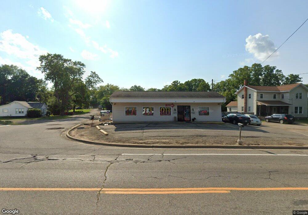
2008 Lansing Ave Jackson, MI 49202
Estimated Value: $143,870 - $254,000
Studio
--
Bath
838
Sq Ft
$227/Sq Ft
Est. Value
About This Home
This home is located at 2008 Lansing Ave, Jackson, MI 49202 and is currently estimated at $190,468, approximately $227 per square foot. 2008 Lansing Ave is a home located in Jackson County with nearby schools including Northwest Early Elementary School, Northwest Elementary School, and Northwest Middle School.
Ownership History
Date
Name
Owned For
Owner Type
Purchase Details
Closed on
Jan 27, 2016
Sold by
Balfe John D
Bought by
Balfe John D and John D Balfe Trust
Current Estimated Value
Purchase Details
Closed on
Oct 18, 2010
Sold by
Balfe Joette E
Bought by
Balfe John D
Purchase Details
Closed on
Dec 13, 2000
Sold by
Howard Kenneth P and Howard Veda J
Bought by
Balfe John D
Create a Home Valuation Report for This Property
The Home Valuation Report is an in-depth analysis detailing your home's value as well as a comparison with similar homes in the area
Home Values in the Area
Average Home Value in this Area
Purchase History
| Date | Buyer | Sale Price | Title Company |
|---|---|---|---|
| Balfe John D | -- | Attorney | |
| Balfe John D | -- | None Available | |
| Balfe John D | $45,000 | -- |
Source: Public Records
Tax History
| Year | Tax Paid | Tax Assessment Tax Assessment Total Assessment is a certain percentage of the fair market value that is determined by local assessors to be the total taxable value of land and additions on the property. | Land | Improvement |
|---|---|---|---|---|
| 2025 | $3,541 | $84,700 | $0 | $0 |
| 2024 | $10 | $83,550 | $0 | $0 |
| 2023 | $969 | $72,400 | $0 | $0 |
| 2022 | $2,648 | $57,200 | $0 | $0 |
| 2021 | $2,613 | $48,800 | $0 | $0 |
| 2020 | $2,597 | $49,800 | $0 | $0 |
| 2019 | $2,293 | $49,100 | $0 | $0 |
| 2018 | $3,255 | $61,300 | $0 | $0 |
| 2017 | $2,612 | $60,700 | $0 | $0 |
| 2016 | $2,047 | $60,133 | $13,400 | $46,733 |
| 2015 | $2,907 | $59,816 | $59,816 | $0 |
| 2014 | $2,907 | $63,341 | $0 | $0 |
| 2013 | -- | $63,341 | $63,341 | $0 |
Source: Public Records
Map
Nearby Homes
- 520 Andrew Ave
- 550 Royal Dr
- 735 Royal Dr
- 951 W Monroe St
- 431 Madison St
- 1105 Clinton Rd
- 0 Brookley Ave
- 1422 Cooper St
- 1012 Lansing Ave
- 939 Backus St
- 121 Frost St
- 1302 Cooper St
- 2013 Cooper St
- 0 Shirley Dr Unit 24064060
- 1135 Hamilton St
- 1114 Hamilton St
- 919 Lincoln St
- 127 W Argyle St
- 319 W North St
- 712 W North St
- 1948 Lansing Ave
- 515 Royal Dr
- 1949 Lansing Ave Unit Suite B
- 1949 Lansing Ave
- 1949 Lansing Ave Unit E
- 1949 Lansing Ave
- 1949 Lansing Ave Unit A
- 2015 Lansing Ave
- 510 Royal Dr
- 1918 Lansing Ave
- 2019 Lansing Ave
- 512 Royal Dr
- 521 Royal Dr
- 516 Andrew Ave
- 544 Royal Dr
- 430 Hillsdale St
- 539 Royal Dr
- 526 Andrew Ave
- 545 Royal Dr
- 1827 Lansing Ave
Your Personal Tour Guide
Ask me questions while you tour the home.