2008 Mark Anthony Dr Fenton, MO 63026
Estimated Value: $242,209 - $291,000
3
Beds
1
Bath
1,089
Sq Ft
$245/Sq Ft
Est. Value
About This Home
This home is located at 2008 Mark Anthony Dr, Fenton, MO 63026 and is currently estimated at $266,302, approximately $244 per square foot. 2008 Mark Anthony Dr is a home located in St. Louis County with nearby schools including Uthoff Valley Elementary School, Rockwood South Middle School, and Rockwood Summit Senior High School.
Ownership History
Date
Name
Owned For
Owner Type
Purchase Details
Closed on
Apr 25, 2007
Sold by
Wirick Daniel
Bought by
Wirick Daniel J and Wirick Janet L
Current Estimated Value
Home Financials for this Owner
Home Financials are based on the most recent Mortgage that was taken out on this home.
Original Mortgage
$47,000
Interest Rate
6.13%
Mortgage Type
Stand Alone Second
Create a Home Valuation Report for This Property
The Home Valuation Report is an in-depth analysis detailing your home's value as well as a comparison with similar homes in the area
Purchase History
| Date | Buyer | Sale Price | Title Company |
|---|---|---|---|
| Wirick Daniel J | -- | Clt |
Source: Public Records
Mortgage History
| Date | Status | Borrower | Loan Amount |
|---|---|---|---|
| Closed | Wirick Daniel J | $47,000 |
Source: Public Records
Tax History
| Year | Tax Paid | Tax Assessment Tax Assessment Total Assessment is a certain percentage of the fair market value that is determined by local assessors to be the total taxable value of land and additions on the property. | Land | Improvement |
|---|---|---|---|---|
| 2025 | $2,860 | $43,780 | $22,140 | $21,640 |
| 2024 | $2,860 | $38,230 | $18,110 | $20,120 |
| 2023 | $2,857 | $38,230 | $18,110 | $20,120 |
| 2022 | $2,663 | $33,190 | $16,090 | $17,100 |
| 2021 | $2,643 | $33,190 | $16,090 | $17,100 |
| 2020 | $2,548 | $30,760 | $17,440 | $13,320 |
| 2019 | $2,556 | $30,760 | $17,440 | $13,320 |
| 2018 | $2,454 | $28,330 | $13,590 | $14,740 |
| 2016 | $2,162 | $25,370 | $9,790 | $15,580 |
Source: Public Records
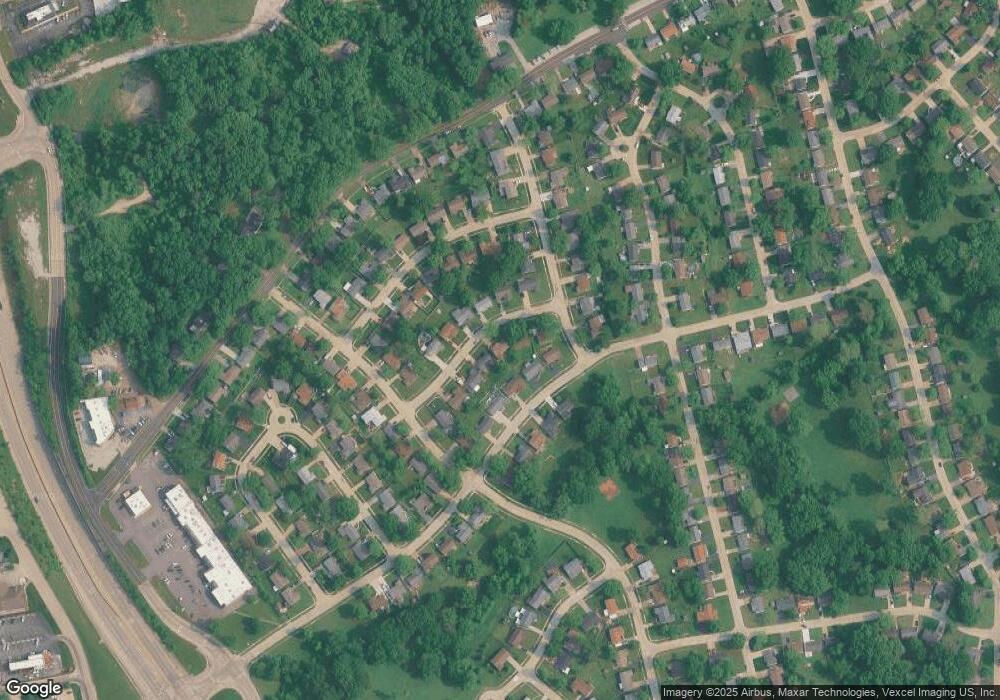
Map
Nearby Homes
- 1655 Valley Park Rd
- 2221 Bentley Manor Dr
- 2120 Quirinal Ct
- 1487 Fenway Dr
- 17 Praise Ct
- 135 Majestic Dr
- 1716 Preston Centre Dr
- 2245 Fenway Farms Trail
- 1863 Smizer Mill Rd
- 1418 Bradington Dr
- 2088 Avalon Ridge Cir
- 1800 Harbor Mill Dr
- 1604 Ivy Chase Ln
- 124 Inverness
- 628 Marshall Rd
- 625 Benton St
- 304 Xavier Ct
- 308 Xavier Ct
- 534 Vest Ave
- 627 Vest Ave
- 2010 Mark Anthony Dr
- 1985 Centurion Dr
- 1983 Centurion Dr
- 2004 Mark Anthony Dr
- 2016 Caesar Dr
- 1987 Centurion Dr
- 2009 Mark Anthony Dr
- 1981 Centurion Dr
- 2007 Mark Anthony Dr
- 2011 Mark Anthony Dr
- 2005 Mark Anthony Dr
- 2002 Mark Anthony Dr
- 2013 Mark Anthony Dr
- 2003 Mark Anthony Dr
- 1979 Centurion Dr
- 2010 Caesar Dr
- 1986 Centurion Dr
- 1984 Centurion Dr
- 2011 Bentley Manor Dr
- 2017 Bentley Manor Dr
Your Personal Tour Guide
Ask me questions while you tour the home.