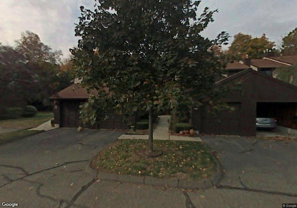
2008 Mill Pond Dr Unit 2008 South Windsor, CT 06074
Estimated Value: $352,000 - $404,028
2
Beds
3
Baths
1,316
Sq Ft
$291/Sq Ft
Est. Value
About This Home
This home is located at 2008 Mill Pond Dr Unit 2008, South Windsor, CT 06074 and is currently estimated at $382,757, approximately $290 per square foot. 2008 Mill Pond Dr Unit 2008 is a home located in Hartford County with nearby schools including Timothy Edwards School, South Windsor High School, and East Catholic High School.
Ownership History
Date
Name
Owned For
Owner Type
Purchase Details
Closed on
Jun 28, 2010
Sold by
Chakraborty Somdura
Bought by
Heath Brian
Current Estimated Value
Home Financials for this Owner
Home Financials are based on the most recent Mortgage that was taken out on this home.
Original Mortgage
$178,937
Outstanding Balance
$119,084
Interest Rate
4.75%
Mortgage Type
FHA
Estimated Equity
$263,673
Purchase Details
Closed on
Mar 28, 2005
Sold by
Ateshkadi Arash
Bought by
Chakraborty Somudra
Home Financials for this Owner
Home Financials are based on the most recent Mortgage that was taken out on this home.
Original Mortgage
$168,000
Interest Rate
5.56%
Purchase Details
Closed on
Aug 18, 1997
Sold by
Therieault Dennis and Therieault Eileen
Bought by
Carr William and Carr Carla
Create a Home Valuation Report for This Property
The Home Valuation Report is an in-depth analysis detailing your home's value as well as a comparison with similar homes in the area
Home Values in the Area
Average Home Value in this Area
Purchase History
| Date | Buyer | Sale Price | Title Company |
|---|---|---|---|
| Heath Brian | $190,000 | -- | |
| Chakraborty Somudra | $210,000 | -- | |
| Carr William | $113,000 | -- |
Source: Public Records
Mortgage History
| Date | Status | Borrower | Loan Amount |
|---|---|---|---|
| Open | Carr William | $178,937 | |
| Previous Owner | Carr William | $70,000 | |
| Previous Owner | Carr William | $168,000 |
Source: Public Records
Tax History Compared to Growth
Tax History
| Year | Tax Paid | Tax Assessment Tax Assessment Total Assessment is a certain percentage of the fair market value that is determined by local assessors to be the total taxable value of land and additions on the property. | Land | Improvement |
|---|---|---|---|---|
| 2024 | $7,650 | $222,000 | $0 | $222,000 |
| 2023 | $7,357 | $222,000 | $0 | $222,000 |
| 2022 | $5,381 | $138,800 | $0 | $138,800 |
| 2021 | $5,255 | $138,800 | $0 | $138,800 |
| 2020 | $5,258 | $138,800 | $0 | $138,800 |
| 2019 | $5,344 | $138,800 | $0 | $138,800 |
| 2018 | $5,229 | $138,800 | $0 | $138,800 |
| 2017 | $4,787 | $125,700 | $0 | $125,700 |
| 2016 | $4,694 | $125,700 | $0 | $125,700 |
| 2015 | $4,593 | $125,700 | $0 | $125,700 |
| 2014 | $4,464 | $125,700 | $0 | $125,700 |
Source: Public Records
Map
Nearby Homes
- 87 Swan Nest
- 24 Podunk Cir Unit 24
- 80 Candlewood Dr Unit 80
- 96 Candlewood Dr Unit 96
- 41 Candlewood Dr Unit 41
- 25 Stonehaven Cir
- 250 Foster Rd
- 962 Pleasant Valley Rd
- 913 Pleasant Valley Rd
- 949 Pleasant Valley Rd
- 75 Sharon Dr
- 205 Pleasant Vly Condo Unit 205
- 901 Misty Meadow Ln
- 50 Parkview Dr
- 7 Cinnamon Springs Unit 7
- 204 Kebalo Ln
- 203 Kebalo Ln
- 25 Amato Dr Unit H
- 438 Pleasant Valley Rd
- 263 Lefoll Blvd
- 2008 Mill Pond Dr
- 2007 Mill Pond Dr
- 2009 Mill Pond Dr
- 2010 Mill Pond Dr
- 2006 Mill Pond Dr
- 2006 Mill Pond Dr Unit 2006
- 2005 Mill Pond Dr
- 2004 Mill Pond Dr
- 2004 Mill Pond Dr Unit 2004
- 2003 Mill Pond Dr
- 2003 Mill Pond Dr Unit 2003
- 2801 Mill Pond Dr
- 2001 Mill Pond Dr
- 1410 Mill Pond Dr
- 2002 Mill Pond Dr
- 2002 Mill Pond Dr Unit 2002
- 1409 Mill Pond Dr
- 1408 Mill Pond Dr
- 1407 Mill Pond Dr
- 1406 Mill Pond Dr