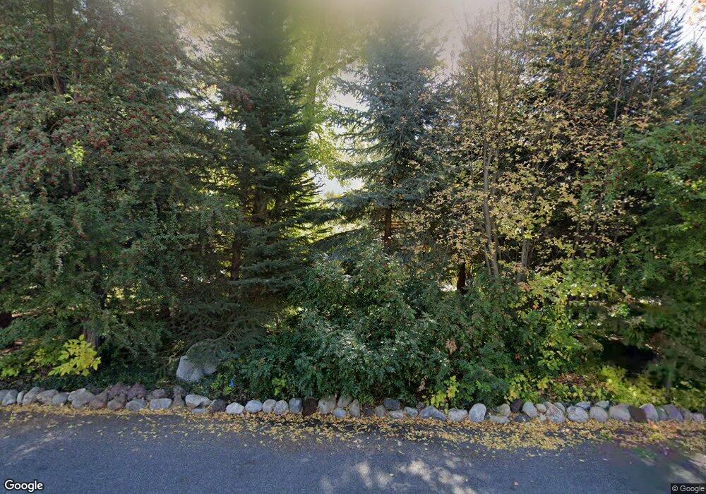
2008 Pheasant Way Salt Lake City, UT 84121
Estimated Value: $804,000 - $1,352,452
2
Beds
2
Baths
2,648
Sq Ft
$431/Sq Ft
Est. Value
About This Home
This home is located at 2008 Pheasant Way, Salt Lake City, UT 84121 and is currently estimated at $1,141,113, approximately $430 per square foot. 2008 Pheasant Way is a home located in Salt Lake County with nearby schools including Oakwood Elementary School, Bonneville Junior High School, and Cottonwood High School.
Ownership History
Date
Name
Owned For
Owner Type
Purchase Details
Closed on
Jul 20, 2023
Sold by
Frank & Lyn Moyle Trust
Bought by
Moyle Robert Franklin and Moyle Lyn
Current Estimated Value
Purchase Details
Closed on
Jun 20, 2008
Sold by
Moyle Robert Franklin and Moyle Lyn
Bought by
Moyle Robert Franklin and Moyle Lyn
Purchase Details
Closed on
May 12, 2005
Sold by
Moyle Robert L and Moyle Camilla S
Bought by
Moyle Robert Franklin and F Lyn Moyle R
Create a Home Valuation Report for This Property
The Home Valuation Report is an in-depth analysis detailing your home's value as well as a comparison with similar homes in the area
Home Values in the Area
Average Home Value in this Area
Purchase History
| Date | Buyer | Sale Price | Title Company |
|---|---|---|---|
| Moyle Robert Franklin | -- | None Listed On Document | |
| Moyle Robert Franklin | -- | None Available | |
| Moyle Robert Franklin | -- | -- |
Source: Public Records
Tax History Compared to Growth
Tax History
| Year | Tax Paid | Tax Assessment Tax Assessment Total Assessment is a certain percentage of the fair market value that is determined by local assessors to be the total taxable value of land and additions on the property. | Land | Improvement |
|---|---|---|---|---|
| 2025 | -- | $1,018,500 | $768,000 | $250,500 |
| 2024 | -- | $982,800 | $727,900 | $254,900 |
| 2023 | $4,684 | $952,900 | $661,300 | $291,600 |
| 2022 | $4,684 | $830,200 | $648,300 | $181,900 |
| 2021 | $4,471 | $688,300 | $636,900 | $51,400 |
| 2020 | $4,266 | $651,200 | $636,900 | $14,300 |
| 2019 | $4,314 | $641,200 | $614,200 | $27,000 |
| 2018 | $4,345 | $624,700 | $614,200 | $10,500 |
| 2017 | $4,200 | $637,600 | $558,400 | $79,200 |
| 2016 | $3,598 | $549,200 | $537,500 | $11,700 |
| 2015 | $3,900 | $555,300 | $471,000 | $84,300 |
| 2014 | $3,786 | $530,500 | $462,000 | $68,500 |
Source: Public Records
Map
Nearby Homes
- 5625 S Dunetree Hill Ln
- 5608 S Dunetree Hill Ln
- 1958 E Cecelia Cir
- 2062 E Walker Ln
- 2138 E Pheasant Ln
- 2113 E Fardown Ave
- 1963 E Charleston Ln
- 5946 S Highland Dr
- 2105 Fardown Ave S
- 2222 E Walker Ln
- 2225 Fardown Ave S
- 6048 S 2075 E
- 6056 S 2075 E
- 2225 E Fardown Ave
- 2209 E Fardown Ave
- 2318 E Walker Ln
- 5508 S Walker Estates Cir
- 5780 S Minden Dr
- 6121 S Verness Cove
- 2227 E 5340 S
- 1992 E Pheasant Way
- 1992 Pheasant Way
- 2058 Pheasant Way
- 5711 S Wildwood Cir
- 5711 Wildwood Cir
- 5710 Wildwood Cir
- 2049 Wildwood Dr
- 2049 E Wildwood Dr
- 1997 Pheasant Way
- 1997 E Pheasant Way
- 1997 E Pheasant Way
- 5713 S Highland Dr
- 2045 Wildwood Dr
- 2045 E Wildwood Dr
- 2054 Pheasant Cir
- 2011 Pheasant Way
- 2054 E Pheasant Cir
- 2011 E Pheasant Way
- 5695 S Highland Dr
- 2005 E Wildwood Dr