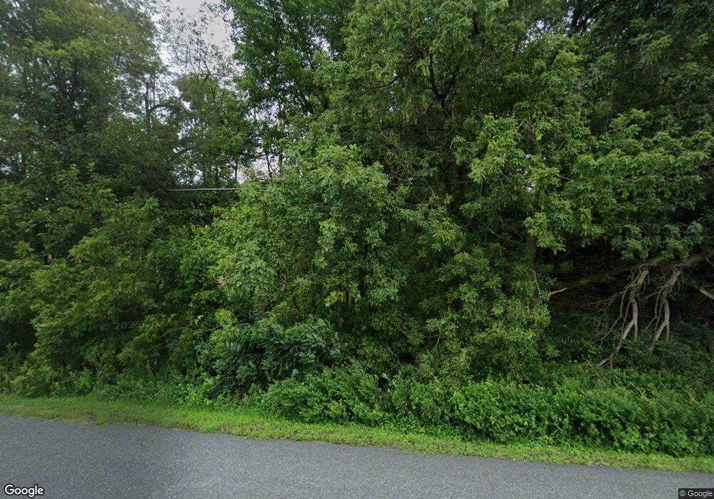
2008 Pulaski Hwy Havre de Grace, MD 21078
Estimated Value: $419,000
--
Bed
--
Bath
--
Sq Ft
0.87
Acres
About This Home
This home is located at 2008 Pulaski Hwy, Havre de Grace, MD 21078 and is currently priced at $419,000. 2008 Pulaski Hwy is a home located in Harford County with nearby schools including Roye-Williams Elementary School, Aberdeen Middle School, and Aberdeen High School.
Ownership History
Date
Name
Owned For
Owner Type
Purchase Details
Closed on
Jun 23, 2023
Sold by
Brook-Lyn Corp Llc
Bought by
Argentino Holdings Llc
Current Estimated Value
Purchase Details
Closed on
Dec 9, 2022
Sold by
Sandlass Robert F
Bought by
Brook-Lyn Corp Llc
Purchase Details
Closed on
Apr 6, 2005
Sold by
Terry Vernon C
Bought by
Terry Maria A
Purchase Details
Closed on
Jun 29, 1987
Sold by
Geurts Jerome P and Geurts Wf
Bought by
Terry Vernon C
Home Financials for this Owner
Home Financials are based on the most recent Mortgage that was taken out on this home.
Original Mortgage
$35,000
Interest Rate
10.35%
Create a Home Valuation Report for This Property
The Home Valuation Report is an in-depth analysis detailing your home's value as well as a comparison with similar homes in the area
Home Values in the Area
Average Home Value in this Area
Purchase History
| Date | Buyer | Sale Price | Title Company |
|---|---|---|---|
| Argentino Holdings Llc | $75,000 | None Listed On Document | |
| Brook-Lyn Corp Llc | $19,333 | -- | |
| Terry Maria A | -- | -- | |
| Terry Vernon C | $50,000 | -- |
Source: Public Records
Mortgage History
| Date | Status | Borrower | Loan Amount |
|---|---|---|---|
| Previous Owner | Terry Vernon C | $35,000 |
Source: Public Records
Tax History Compared to Growth
Tax History
| Year | Tax Paid | Tax Assessment Tax Assessment Total Assessment is a certain percentage of the fair market value that is determined by local assessors to be the total taxable value of land and additions on the property. | Land | Improvement |
|---|---|---|---|---|
| 2025 | $2,941 | $269,800 | $269,800 | $0 |
| 2024 | $2,941 | $269,800 | $269,800 | $0 |
| 2023 | $2,941 | $269,800 | $269,800 | $0 |
| 2022 | $2,941 | $269,800 | $269,800 | $0 |
| 2021 | $3,114 | $269,800 | $269,800 | $0 |
| 2020 | $3,114 | $269,800 | $269,800 | $0 |
| 2019 | $3,114 | $269,800 | $269,800 | $0 |
| 2018 | $3,085 | $269,800 | $269,800 | $0 |
| 2017 | $3,085 | $269,800 | $0 | $0 |
| 2016 | $428 | $269,800 | $0 | $0 |
| 2015 | $3,582 | $275,800 | $0 | $0 |
| 2014 | $3,582 | $275,800 | $0 | $0 |
Source: Public Records
Map
Nearby Homes
- 2245 Argonne Dr
- 20 Rock Glenn Rd
- 40 Telestar Way
- 148 Correri St
- 225 Correri St
- 239 Correri St
- 241 Correri St
- 226 Correri St
- 3 Locust St
- 142 Martha Lewis Blvd
- 1748 Lawder Cir
- 1744 Lawder Cir
- 1698 Oneida St
- 1740 Lawder Cir
- Crofton Plan at Greenway Farm
- REGENT Plan at Greenway Farm
- ANDREWS Plan at Greenway Farm
- 1747 Lawder Cir
- 1690 Oneida St
- 1686 Oneida St
- 2006 Pulaski Hwy
- 2012 Pulaski Hwy
- 2001 Williams Dr
- 2003 Williams Dr
- 2121 Pulaski Hwy
- 2005 Williams Dr
- 2120 Pulaski Hwy
- 2101 Williams Dr
- 0 Williams Dr
- 2101 Point Concord Rd
- 2015 Pulaski Hwy
- 2103 Williams Dr
- 2404 Layne Ct
- 2406 Layne Ct
- 2505 Karen Ct
- 2402 Layne Ct
- 2100 Point Concord Rd
- 2305 Julie Ct
- 2100 Williams Dr
- 2405 Layne Ct
