2008 SW Military Rd Portland, OR 97219
Dunthorpe NeighborhoodEstimated Value: $3,060,351 - $3,408,000
4
Beds
3
Baths
3,532
Sq Ft
$928/Sq Ft
Est. Value
About This Home
This home is located at 2008 SW Military Rd, Portland, OR 97219 and is currently estimated at $3,277,450, approximately $927 per square foot. 2008 SW Military Rd is a home located in Multnomah County with nearby schools including Riverdale Grade School, Riverdale High School, and Harmony Academy.
Ownership History
Date
Name
Owned For
Owner Type
Purchase Details
Closed on
Aug 19, 2025
Sold by
Hasson Lauren
Bought by
Koprowski Christopher John and Sood Divya
Current Estimated Value
Home Financials for this Owner
Home Financials are based on the most recent Mortgage that was taken out on this home.
Original Mortgage
$2,325,000
Outstanding Balance
$2,322,273
Interest Rate
5.13%
Mortgage Type
New Conventional
Estimated Equity
$955,177
Purchase Details
Closed on
Dec 3, 2021
Sold by
Lavecchia Vincnet R and Pruitt Meghan L
Bought by
Hasson Lauren
Home Financials for this Owner
Home Financials are based on the most recent Mortgage that was taken out on this home.
Original Mortgage
$548,250
Interest Rate
2.33%
Mortgage Type
New Conventional
Purchase Details
Closed on
Oct 24, 2018
Sold by
Starke Llc
Bought by
Lavecchia Vincent R and Pruitt Meghan L
Purchase Details
Closed on
Jan 30, 2017
Sold by
Piculell Arthur C
Bought by
Starke Llc
Create a Home Valuation Report for This Property
The Home Valuation Report is an in-depth analysis detailing your home's value as well as a comparison with similar homes in the area
Home Values in the Area
Average Home Value in this Area
Purchase History
| Date | Buyer | Sale Price | Title Company |
|---|---|---|---|
| Koprowski Christopher John | $3,400,000 | Wfg Title | |
| Hasson Lauren | $3,200,000 | Lawyers Title | |
| Lavecchia Vincent R | $2,398,325 | Wfg Title | |
| Starke Llc | $845,925 | First American |
Source: Public Records
Mortgage History
| Date | Status | Borrower | Loan Amount |
|---|---|---|---|
| Open | Koprowski Christopher John | $2,325,000 | |
| Previous Owner | Hasson Lauren | $548,250 |
Source: Public Records
Tax History Compared to Growth
Tax History
| Year | Tax Paid | Tax Assessment Tax Assessment Total Assessment is a certain percentage of the fair market value that is determined by local assessors to be the total taxable value of land and additions on the property. | Land | Improvement |
|---|---|---|---|---|
| 2025 | $24,505 | $1,290,680 | -- | -- |
| 2024 | $24,018 | $1,253,090 | -- | -- |
| 2023 | $23,323 | $1,216,600 | $0 | $0 |
| 2022 | $22,592 | $1,181,170 | $0 | $0 |
| 2021 | $21,796 | $1,146,770 | $0 | $0 |
| 2020 | $20,475 | $1,113,370 | $0 | $0 |
| 2019 | $20,234 | $1,080,943 | $0 | $0 |
| 2018 | $13,461 | $721,360 | $0 | $0 |
| 2017 | $12,796 | $700,350 | $0 | $0 |
| 2016 | $12,179 | $679,960 | $0 | $0 |
| 2015 | $12,494 | $660,160 | $0 | $0 |
| 2014 | $11,993 | $640,940 | $0 | $0 |
Source: Public Records
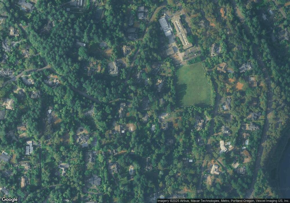
Map
Nearby Homes
- 11800 S Breyman Ave
- 1890 S Greenwood Rd
- 12643 S Iron Mountain Blvd
- 11859 S Riverwood Rd
- 11175 S Riverwood Rd
- 12850 Fielding Rd
- 13060 SW Elk Rock Rd
- 13231 SW Iron Mountain Blvd
- 13248 S Iron Mountain Blvd
- 13150 SW Iron Mountain Blvd
- 11000 S Collina Ave
- 975 S Vacuna St
- 12225 SE 19th Ave
- 11328 S Northgate Ave
- 11433 S Northgate Ave
- 0 SE Sparrow St
- 13740 Fielding Rd
- 12495 SE 23rd Ave
- 1803 S Riverdale Rd
- 10606 SE Main St Unit 212
- 2004 S Military Rd
- 12025 SW Breyman Ave
- 2004 SW Military Rd
- 12045 SW Breyman Ave
- 1962 SW Military Rd
- 2030 SW Military Rd
- 1962 S Military Rd
- 2030 S Military Rd
- 12031 SW Breyman Ave
- 12055 SW Breyman Ave
- 1925 SW Military Rd
- 1925 S Military Rd
- 1960 SW Military Rd
- 1958 SW Military Rd
- 12075 SW Breyman Ave Unit 1
- 12075 SW Breyman Ave
- 12075 S Breyman Ave
- 1920 S Military Rd
- 12115 SW Breyman Ave
- 2071 SW Military Rd