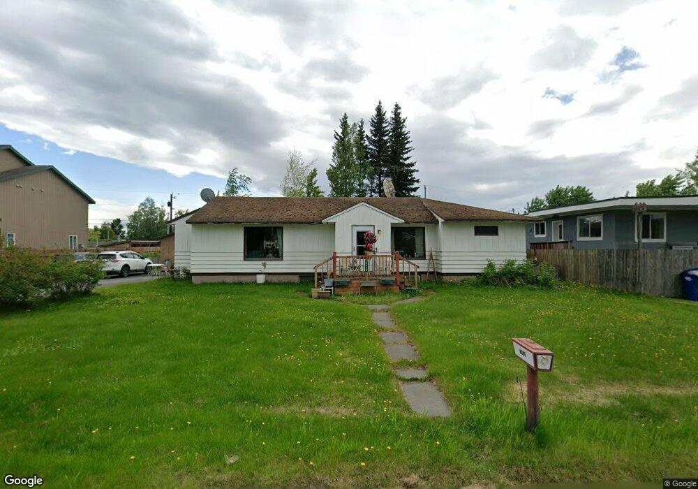
2008 W 45th Ave Anchorage, AK 99517
Spenard NeighborhoodEstimated Value: $286,000 - $464,536
3
Beds
2
Baths
3,400
Sq Ft
$111/Sq Ft
Est. Value
About This Home
This home is located at 2008 W 45th Ave, Anchorage, AK 99517 and is currently estimated at $376,634, approximately $110 per square foot. 2008 W 45th Ave is a home located in Anchorage Municipality with nearby schools including Northwood Elementary School, Romig Middle School, and West High School.
Create a Home Valuation Report for This Property
The Home Valuation Report is an in-depth analysis detailing your home's value as well as a comparison with similar homes in the area
Home Values in the Area
Average Home Value in this Area
Tax History Compared to Growth
Tax History
| Year | Tax Paid | Tax Assessment Tax Assessment Total Assessment is a certain percentage of the fair market value that is determined by local assessors to be the total taxable value of land and additions on the property. | Land | Improvement |
|---|---|---|---|---|
| 2025 | $2,620 | $404,200 | $118,100 | $286,100 |
| 2024 | $2,620 | $387,300 | $118,100 | $269,200 |
| 2023 | $2,331 | $361,900 | $118,100 | $243,800 |
| 2022 | $2,580 | $353,200 | $118,100 | $235,100 |
| 2021 | $5,833 | $323,700 | $118,100 | $205,600 |
| 2020 | $2,015 | $319,700 | $118,100 | $201,600 |
| 2019 | $5,279 | $322,700 | $118,100 | $204,600 |
| 2018 | $5,123 | $312,400 | $111,600 | $200,800 |
| 2017 | $5,025 | $320,900 | $111,600 | $209,300 |
| 2016 | $4,617 | $325,800 | $109,900 | $215,900 |
| 2015 | $4,617 | $327,800 | $109,900 | $217,900 |
| 2014 | $4,617 | $302,500 | $109,900 | $192,600 |
Source: Public Records
Map
Nearby Homes
- 2040 Wenmatt Cir
- 1808 W 47th Ave
- 2202 Lincoln Ave
- 2105 Mckinley Ave
- NHN Northwood Dr
- 5000 Northwood Dr
- 4300 Hayes St
- 4000 Iowa Dr
- 4209 Hayes St
- 1808 Cleveland Ave
- 1806 Cleveland Ave
- 3913 Barbara Dr
- 4309 Garfield St
- 2808 Iris Dr
- 4962 Nottingham Way
- 3729 Mccain Loop
- 3731 Mccain Loop
- 3901 Hayes St
- 3605 Oregon Dr Unit 7
- 3605 Oregon Dr Unit 4
- 2010 W 45th Ave
- 2100 W 45th Ave
- 2100 W 45th Ave Unit B
- 2100 W 45th Ave Unit A
- 2006 W 45th Ave
- 2102 W 45th Ave
- 2011 W 46th Ave
- 2009 W 46th Ave
- 2101 W 46th Ave
- 2007 W 46th Ave
- 2060 Wenmatt Cir
- 2050 Wenmatt Cir
- 2104 W 45th Ave
- 2103 W 46th Ave
- 2101 W 45th Ave
- 2005 W 46th Ave
- 2030 Wenmatt Cir
- 2105 W 46th Ave
- 2103 W 45th Ave
- 2003 W 46th Ave