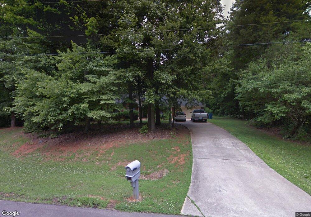
2009 Adams Creek Ct Concord, NC 28025
Estimated Value: $293,000 - $366,000
3
Beds
2
Baths
1,309
Sq Ft
$258/Sq Ft
Est. Value
About This Home
This home is located at 2009 Adams Creek Ct, Concord, NC 28025 and is currently estimated at $337,637, approximately $257 per square foot. 2009 Adams Creek Ct is a home located in Cabarrus County with nearby schools including W.M. Irvin Elementary School, Mount Pleasant Middle School, and Mount Pleasant High School.
Ownership History
Date
Name
Owned For
Owner Type
Purchase Details
Closed on
Nov 23, 2004
Sold by
Troutman Pamela D
Bought by
Dersham Kevin S and Dersham Mary M
Current Estimated Value
Home Financials for this Owner
Home Financials are based on the most recent Mortgage that was taken out on this home.
Original Mortgage
$131,400
Outstanding Balance
$76,414
Interest Rate
8.35%
Mortgage Type
Purchase Money Mortgage
Estimated Equity
$261,223
Purchase Details
Closed on
Nov 1, 1993
Create a Home Valuation Report for This Property
The Home Valuation Report is an in-depth analysis detailing your home's value as well as a comparison with similar homes in the area
Home Values in the Area
Average Home Value in this Area
Purchase History
| Date | Buyer | Sale Price | Title Company |
|---|---|---|---|
| Dersham Kevin S | $146,000 | -- | |
| -- | $15,000 | -- |
Source: Public Records
Mortgage History
| Date | Status | Borrower | Loan Amount |
|---|---|---|---|
| Open | Dersham Kevin S | $131,400 |
Source: Public Records
Tax History Compared to Growth
Tax History
| Year | Tax Paid | Tax Assessment Tax Assessment Total Assessment is a certain percentage of the fair market value that is determined by local assessors to be the total taxable value of land and additions on the property. | Land | Improvement |
|---|---|---|---|---|
| 2025 | $2,293 | $349,570 | $58,500 | $291,070 |
| 2024 | $2,336 | $356,070 | $65,000 | $291,070 |
| 2023 | $1,745 | $212,760 | $46,000 | $166,760 |
| 2022 | $1,745 | $212,760 | $46,000 | $166,760 |
| 2021 | $1,745 | $212,760 | $46,000 | $166,760 |
| 2020 | $1,702 | $212,760 | $46,000 | $166,760 |
| 2019 | $1,177 | $147,180 | $28,000 | $119,180 |
| 2018 | $1,148 | $147,180 | $28,000 | $119,180 |
| 2017 | $1,119 | $147,180 | $28,000 | $119,180 |
| 2016 | $1,119 | $140,130 | $30,000 | $110,130 |
| 2015 | $1,065 | $140,130 | $30,000 | $110,130 |
| 2014 | $1,065 | $140,130 | $30,000 | $110,130 |
Source: Public Records
Map
Nearby Homes
- 1660 Songwood Rd
- 4155 Armstrong Rd
- 1787 Saint Johns Church Rd
- 3178 Foxford Dr
- 143 Kirkwood Dr
- 4430 Laurelwood Ct
- 4165 Laurelwood Ct
- 3251 Van Tassel Dr
- 5543 Arnold Way
- 5535 Arnold Way
- 5526 Arnold Way
- 5519 Arnold Way
- 37 Wendall Ln
- 21 Wendall Ln
- 13 Wendall Ln
- The Caldwell Plan at Green Acres
- The Landen Plan at Green Acres
- The Coleman Plan at Green Acres
- The Benson II Plan at Green Acres
- The James Plan at Green Acres
- 2001 Adams Creek Ct
- 1815 Liberty Ridge Rd
- 2011 Adams Creek Ct
- 1813 Liberty Ridge Rd
- 2000 Adams Creek Ct
- 2016 Adams Creek Ct
- 1817 Liberty Ridge Rd
- 4210 Gold Hill Rd
- 4170 Adams Creek Dr
- 2011 Liberty Ridge Rd
- 4220 Gold Hill Rd
- 4155 Adams Creek Dr
- 2015 Breakwood Dr
- 4120 Gold Hill Rd
- 1814 Liberty Ridge Rd
- 2018 Breakwood Dr
- 4284 Gold Hill Rd
- 4215 Fringewood Dr
- 4131 Gold Hill Rd
- 4131 Gold Hill Rd