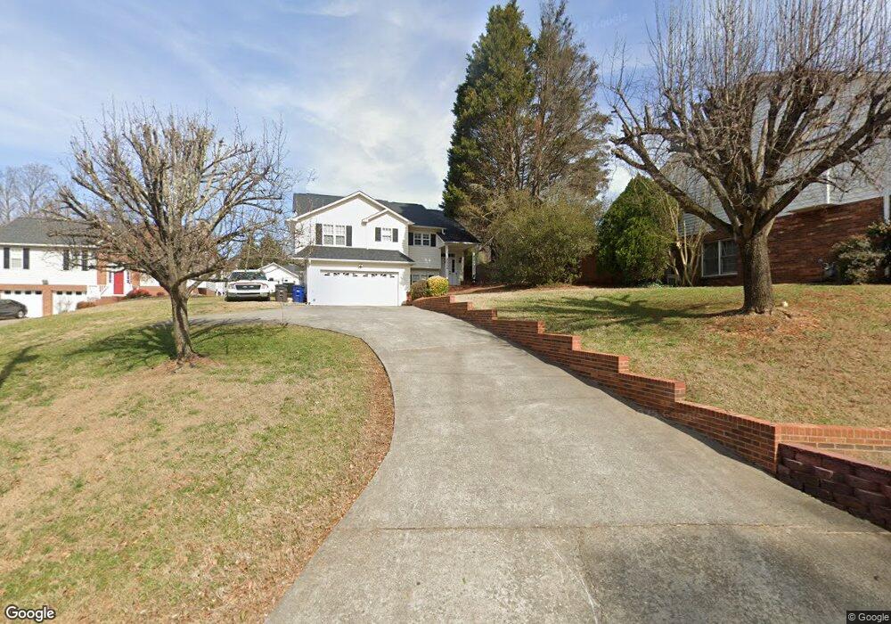
2009 Ardmore Rd Winston Salem, NC 27127
Hootstown NeighborhoodEstimated Value: $269,000 - $291,000
3
Beds
3
Baths
1,460
Sq Ft
$190/Sq Ft
Est. Value
About This Home
This home is located at 2009 Ardmore Rd, Winston Salem, NC 27127 and is currently estimated at $277,852, approximately $190 per square foot. 2009 Ardmore Rd is a home located in Forsyth County with nearby schools including Griffith Elementary School, Flat Rock Middle, and Parkland High.
Ownership History
Date
Name
Owned For
Owner Type
Purchase Details
Closed on
Jun 8, 2021
Sold by
Waddell Tishara H and Mclendon Charles A
Bought by
Mclendon Tishara H and Mclendon Charles A
Current Estimated Value
Home Financials for this Owner
Home Financials are based on the most recent Mortgage that was taken out on this home.
Original Mortgage
$98,000
Outstanding Balance
$88,533
Interest Rate
2.9%
Mortgage Type
Credit Line Revolving
Estimated Equity
$189,319
Purchase Details
Closed on
Aug 1, 2000
Sold by
Ward Paul W and Ward Janice B
Bought by
Waddell Frederick L and Waddell Tishara H
Home Financials for this Owner
Home Financials are based on the most recent Mortgage that was taken out on this home.
Original Mortgage
$126,834
Interest Rate
8.23%
Mortgage Type
FHA
Create a Home Valuation Report for This Property
The Home Valuation Report is an in-depth analysis detailing your home's value as well as a comparison with similar homes in the area
Home Values in the Area
Average Home Value in this Area
Purchase History
| Date | Buyer | Sale Price | Title Company |
|---|---|---|---|
| Mclendon Tishara H | -- | None Available | |
| Waddell Frederick L | $127,000 | -- |
Source: Public Records
Mortgage History
| Date | Status | Borrower | Loan Amount |
|---|---|---|---|
| Open | Mclendon Tishara H | $98,000 | |
| Previous Owner | Waddell Frederick L | $126,834 |
Source: Public Records
Tax History Compared to Growth
Tax History
| Year | Tax Paid | Tax Assessment Tax Assessment Total Assessment is a certain percentage of the fair market value that is determined by local assessors to be the total taxable value of land and additions on the property. | Land | Improvement |
|---|---|---|---|---|
| 2025 | $2,273 | $270,600 | $28,800 | $241,800 |
| 2024 | $2,169 | $162,000 | $23,400 | $138,600 |
| 2023 | $2,169 | $162,000 | $23,400 | $138,600 |
| 2022 | $2,128 | $162,000 | $23,400 | $138,600 |
| 2021 | $2,090 | $162,000 | $23,400 | $138,600 |
| 2020 | $2,038 | $147,600 | $21,600 | $126,000 |
| 2019 | $2,053 | $147,600 | $21,600 | $126,000 |
| 2018 | $1,950 | $147,600 | $21,600 | $126,000 |
| 2016 | $1,823 | $138,538 | $21,600 | $116,938 |
| 2015 | $1,795 | $138,538 | $21,600 | $116,938 |
| 2014 | $1,741 | $138,538 | $21,600 | $116,938 |
Source: Public Records
Map
Nearby Homes
- 1905 Crest Hollow Dr Unit 101
- 224 Ivy Glen Ct Unit 224
- 1922 Salem Bluff Dr Unit 1922
- 0 Ebert St
- 531 Ivy Glen Dr Unit 531
- 0 Virginia Branch Rd
- 623 Ivy Glen Dr Unit 623
- 1841 Camden Forest Dr
- 250 Braeburn Dr
- 2752 Windy Crossing
- 3743 Heathrow Dr
- 2641 Windy Crossing
- 2200 Sunderland Rd Unit 139K
- 1785 Ralee Dr
- 3646 Heathrow Dr
- 2235 Sunderland Rd Unit 97C
- 2235 Sunderland Rd Unit 105C
- 2625 Merry Oaks Trail
- 2595 Azalea Place
- 2240 Sunderland Rd Unit 65N
- 2015 Ardmore Rd
- 2003 Ardmore Rd
- 2021 Ardmore Rd
- 1985 Penny Ln
- 1975 Penny Ln
- 1800 Salem Bluff Dr
- 1965 Penny Ln
- 1804 Salem Bluff Dr
- 1960 Penny Ln
- 2000 Ardmore Rd
- 1808 Salem Bluff Dr
- 1801 Salem Bluff Dr
- 1955 Penny Ln
- 1805 Salem Bluff Dr
- 1988 Ardmore Rd
- 1809 Salem Bluff Dr
- 1813 Salem Bluff Dr
- 1945 Penny Ln
- 1817 Salem Bluff Dr
- 1821 Salem Bluff Dr