Estimated Value: $201,000 - $237,000
3
Beds
2
Baths
1,188
Sq Ft
$182/Sq Ft
Est. Value
About This Home
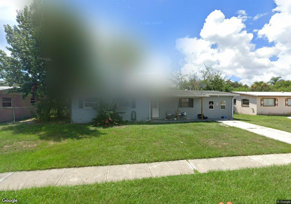
This home is located at 2009 Cooper Dr, Cocoa, FL 32922 and is currently estimated at $215,971, approximately $181 per square foot. 2009 Cooper Dr is a home located in Brevard County with nearby schools including Cambridge Elementary Magnet School, Cocoa High School, and Space Coast Christian Academy.
Ownership History
Date
Name
Owned For
Owner Type
Purchase Details
Closed on
Apr 12, 2010
Sold by
Ina Group Llc
Bought by
Foreman Shayna L
Current Estimated Value
Purchase Details
Closed on
Jan 7, 2010
Sold by
County Of Brevard
Bought by
Ina Group Llc
Purchase Details
Closed on
Jan 11, 2006
Sold by
Magma Trading Corp
Bought by
Gann Cleveland and Johns Milagro
Purchase Details
Closed on
May 12, 2005
Sold by
Green Robert and Green Tish
Bought by
Magma Trading Corp
Purchase Details
Closed on
Dec 2, 1998
Sold by
Ejarque Peter
Bought by
Green Robert
Home Financials for this Owner
Home Financials are based on the most recent Mortgage that was taken out on this home.
Original Mortgage
$50,400
Interest Rate
6.84%
Create a Home Valuation Report for This Property
The Home Valuation Report is an in-depth analysis detailing your home's value as well as a comparison with similar homes in the area
Home Values in the Area
Average Home Value in this Area
Purchase History
| Date | Buyer | Sale Price | Title Company |
|---|---|---|---|
| Foreman Shayna L | $45,000 | Attorney | |
| Ina Group Llc | $20,100 | None Available | |
| Gann Cleveland | $139,000 | None Available | |
| Magma Trading Corp | $51,000 | -- | |
| Green Robert | $63,000 | -- |
Source: Public Records
Mortgage History
| Date | Status | Borrower | Loan Amount |
|---|---|---|---|
| Previous Owner | Green Robert | $50,400 |
Source: Public Records
Tax History
| Year | Tax Paid | Tax Assessment Tax Assessment Total Assessment is a certain percentage of the fair market value that is determined by local assessors to be the total taxable value of land and additions on the property. | Land | Improvement |
|---|---|---|---|---|
| 2025 | $810 | $46,440 | -- | -- |
| 2024 | $779 | $45,140 | -- | -- |
| 2023 | $779 | $43,830 | $0 | $0 |
| 2022 | $722 | $42,560 | $0 | $0 |
| 2021 | $696 | $41,330 | $0 | $0 |
| 2020 | $671 | $40,760 | $0 | $0 |
| 2019 | $645 | $39,850 | $0 | $0 |
| 2018 | $520 | $39,110 | $0 | $0 |
| 2017 | $507 | $38,310 | $0 | $0 |
| 2016 | $492 | $37,590 | $9,000 | $28,590 |
| 2015 | $488 | $37,330 | $9,000 | $28,330 |
| 2014 | $435 | $37,040 | $10,000 | $27,040 |
Source: Public Records
Map
Nearby Homes
- 1326 Stetson Ct
- 2029 Ivy Dr
- 1354 S Stetson Dr
- 1810 Dixon Blvd
- 1723 Dixon Blvd Unit 4
- 1750 Rosa St
- 1417 Walter St
- 1711 Dixon Blvd Unit 198
- 0000 N Range Rd
- 703 Venus Dr
- 1633 Highland Ct
- 1301 N Range Rd
- 717 Lunar Lake Cir
- Xxx Rosetine St
- 0000 Null Unknown
- 764 Lunar Lake Cir
- 766 Lunar Lake Cir
- 2515 Fairfield Dr
- 0 University Ln
- 2500 Fairfield Dr
Your Personal Tour Guide
Ask me questions while you tour the home.