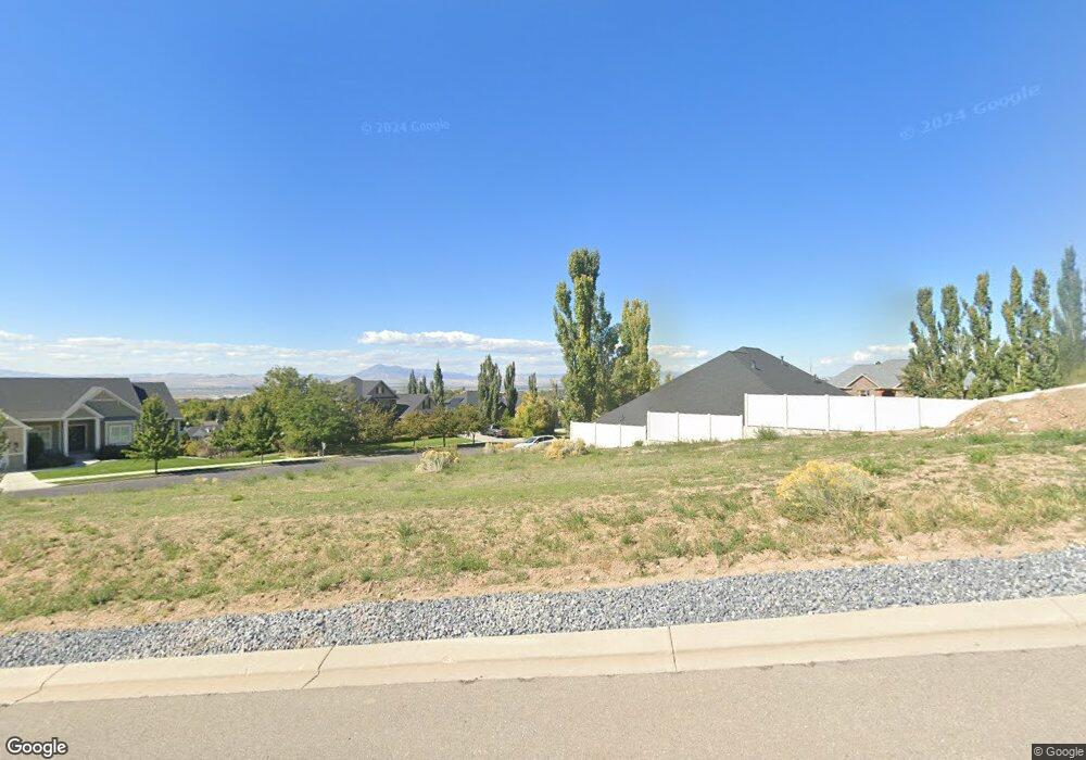
2009 Crestwood Ln Unit 46 Logan, UT 84341
Hillcrest NeighborhoodEstimated Value: $289,000
--
Bed
--
Bath
--
Sq Ft
0.44
Acres
About This Home
This home is located at 2009 Crestwood Ln Unit 46, Logan, UT 84341 and is currently priced at $289,000. 2009 Crestwood Ln Unit 46 is a home located in Cache County with nearby schools including Hillcrest Elementary School, Mount Logan Middle School, and Logan High School.
Ownership History
Date
Name
Owned For
Owner Type
Purchase Details
Closed on
Sep 30, 2020
Sold by
Solare Land Holdings Llc
Bought by
Mumford Bruce R and Mumford Karen L
Current Estimated Value
Purchase Details
Closed on
Sep 15, 2006
Sold by
Deer Crest Heights Llc
Bought by
Solare Land Holdings Llc
Home Financials for this Owner
Home Financials are based on the most recent Mortgage that was taken out on this home.
Original Mortgage
$1,000,000
Interest Rate
6.56%
Mortgage Type
Construction
Purchase Details
Closed on
Mar 16, 2006
Sold by
Solare Land Holdings Llc
Bought by
Deer Crest Heights Llc
Home Financials for this Owner
Home Financials are based on the most recent Mortgage that was taken out on this home.
Original Mortgage
$3,889,433
Interest Rate
6.19%
Mortgage Type
Purchase Money Mortgage
Create a Home Valuation Report for This Property
The Home Valuation Report is an in-depth analysis detailing your home's value as well as a comparison with similar homes in the area
Home Values in the Area
Average Home Value in this Area
Purchase History
| Date | Buyer | Sale Price | Title Company |
|---|---|---|---|
| Mumford Bruce R | -- | Pinnacle Title Ins Agcy Inc | |
| Solare Land Holdings Llc | -- | Heritage West Title | |
| Deer Crest Heights Llc | -- | Heritage West Title |
Source: Public Records
Mortgage History
| Date | Status | Borrower | Loan Amount |
|---|---|---|---|
| Previous Owner | Solare Land Holdings Llc | $1,000,000 | |
| Previous Owner | Deer Crest Heights Llc | $3,889,433 |
Source: Public Records
Tax History Compared to Growth
Tax History
| Year | Tax Paid | Tax Assessment Tax Assessment Total Assessment is a certain percentage of the fair market value that is determined by local assessors to be the total taxable value of land and additions on the property. | Land | Improvement |
|---|---|---|---|---|
| 2025 | $1,987 | $256,918 | $256,918 | $0 |
| 2024 | $1,018 | $127,500 | $127,500 | $0 |
| 2023 | $1,047 | $125,000 | $125,000 | $0 |
| 2022 | $1,121 | $125,000 | $125,000 | $0 |
| 2021 | $1,245 | $118,000 | $118,000 | $0 |
| 2020 | $1,384 | $118,000 | $118,000 | $0 |
| 2019 | $1,446 | $118,000 | $118,000 | $0 |
| 2018 | $1,584 | $118,000 | $118,000 | $0 |
| 2017 | $1,327 | $95,000 | $0 | $0 |
| 2016 | $1,376 | $95,000 | $0 | $0 |
| 2015 | $1,377 | $95,000 | $0 | $0 |
| 2014 | $1,310 | $100,000 | $0 | $0 |
| 2013 | $1,294 | $100,000 | $0 | $0 |
Source: Public Records
Map
Nearby Homes
- 1949 Deer Crest Cir Unit 49
- 1901 Southpointe Ct
- 1810 N 2070 E Unit 10
- 1586 N Sharptail Cir
- 1891 E 1500 N
- 1902 E 1500 N
- 1465 N Stonecrest Ln Unit 14
- 1872 N 1850 E
- 1451 N Aspen Dr
- 1405 N Aspen Dr
- 1727 E 1500 N
- 2025 N 1550 E
- 1454 N 1400 E
- 1901 N 1380 E
- 1285 E 1600 N
- 1395 E Talmage Ln Unit 31
- 945 N 1600 E
- 1374 N 1250 E
- Sydney Plan at Mountainside Estates
- Providence Plan at Mountainside Estates
- 1716 N 2000 E
- 2018 Crestwood Ln
- 1693 Aspen Dr
- 1715 N 2000 E
- 2055 E 1730 N
- 2018 E 1730 N
- 2007 Deer Crest Ln Unit 43
- 2007 Deer Crest Ln
- 2017 Deer Crest Ln Unit 42
- 1743 N 2050 E
- 1665 Aspen Dr
- 2027 Deer Crest Ln Unit 41
- 1731 N 2000 E
- 1956 Pheasant Ct Unit 52
- 2073 E 1730 N
- 1959 Deer Crest Cir
- 1959 Deer Crest Cir Unit 48
- 1758 N 2000 E
- 1745 N 2000 E Unit 45
- 1745 N 2000 E