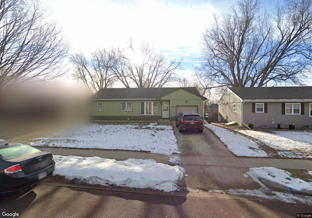
2009 E Allen Dr Sioux Falls, SD 57103
Central Sioux Falls NeighborhoodEstimated Value: $242,293 - $306,000
4
Beds
3
Baths
2,246
Sq Ft
$128/Sq Ft
Est. Value
About This Home
This home is located at 2009 E Allen Dr, Sioux Falls, SD 57103 and is currently estimated at $286,573, approximately $127 per square foot. 2009 E Allen Dr is a home located in Minnehaha County with nearby schools including Eugene Field A+ Elementary School, Whittier Middle School, and Lincoln High School.
Ownership History
Date
Name
Owned For
Owner Type
Purchase Details
Closed on
May 3, 2019
Sold by
Southside Properties Llc
Bought by
Welter Theresa
Current Estimated Value
Home Financials for this Owner
Home Financials are based on the most recent Mortgage that was taken out on this home.
Original Mortgage
$179,910
Outstanding Balance
$158,177
Interest Rate
4.2%
Mortgage Type
New Conventional
Estimated Equity
$128,396
Purchase Details
Closed on
May 3, 2017
Sold by
Minnehaha County Of
Bought by
Southside Properties Llc and Wehde A David
Create a Home Valuation Report for This Property
The Home Valuation Report is an in-depth analysis detailing your home's value as well as a comparison with similar homes in the area
Home Values in the Area
Average Home Value in this Area
Purchase History
| Date | Buyer | Sale Price | Title Company |
|---|---|---|---|
| Welter Theresa | $200,000 | None Available | |
| Southside Properties Llc | $81,500 | -- |
Source: Public Records
Mortgage History
| Date | Status | Borrower | Loan Amount |
|---|---|---|---|
| Open | Welter Theresa | $179,910 |
Source: Public Records
Tax History
| Year | Tax Paid | Tax Assessment Tax Assessment Total Assessment is a certain percentage of the fair market value that is determined by local assessors to be the total taxable value of land and additions on the property. | Land | Improvement |
|---|---|---|---|---|
| 2024 | $3,870 | $230,500 | $36,200 | $194,300 |
| 2023 | $4,088 | $232,200 | $36,200 | $196,000 |
| 2022 | $4,053 | $217,800 | $36,200 | $181,600 |
| 2021 | $2,968 | $178,100 | $0 | $0 |
| 2020 | $2,968 | $152,200 | $0 | $0 |
| 2019 | $3,122 | $157,175 | $0 | $0 |
| 2018 | $2,258 | $150,856 | $0 | $0 |
| 2017 | $2,082 | $141,253 | $26,792 | $114,461 |
| 2016 | $2,082 | $129,915 | $26,792 | $103,123 |
| 2015 | $2,070 | $124,274 | $25,304 | $98,970 |
| 2014 | $1,981 | $124,274 | $25,304 | $98,970 |
Source: Public Records
Map
Nearby Homes
- 2317 E 18th St
- 2401 E 18th St
- 701 S Lowell Ave
- 608 S Highland Ave
- 1220 S Blauvelt Ave
- 1201 1205 S Blaine Ave Ave
- 1313 S Riverdale Rd
- 412 S Chicago Ave
- 601 S Blauvelt Ave
- 330 S Chicago Ave
- 1401 S Riverdale Rd
- 306 S Chicago Ave
- 2804 E 19th St
- 928 S Harrington Ave
- 2615 E 12th St
- 915 S Sherman Ave
- 304 - 308 S Conklin Ave Ave
- 405 S Blaine Ave
- 1301 S Gary Dr
- 1600 S Southeastern Ave Unit 202
- 2101 E Allen Dr
- 2005 E Allen Dr
- 2105 E Allen Dr
- 2001 E Allen Dr
- 904 S Southeastern Ave
- 909 S Paulton Ave
- 908 S Southeastern Ave
- 2100 E Allen Dr
- 2012 E Allen Dr
- 913 S Paulton Ave
- 905 S Paulton Ave
- 2008 E Allen Dr
- 2109 E Allen Dr
- 2104 E Allen Dr
- 912 S Southeastern Ave
- 917 S Paulton Ave
- 2004 E Allen Dr
- 921 S Paulton Ave
- 2108 E Allen Dr
- 2000 E Allen Dr
Your Personal Tour Guide
Ask me questions while you tour the home.