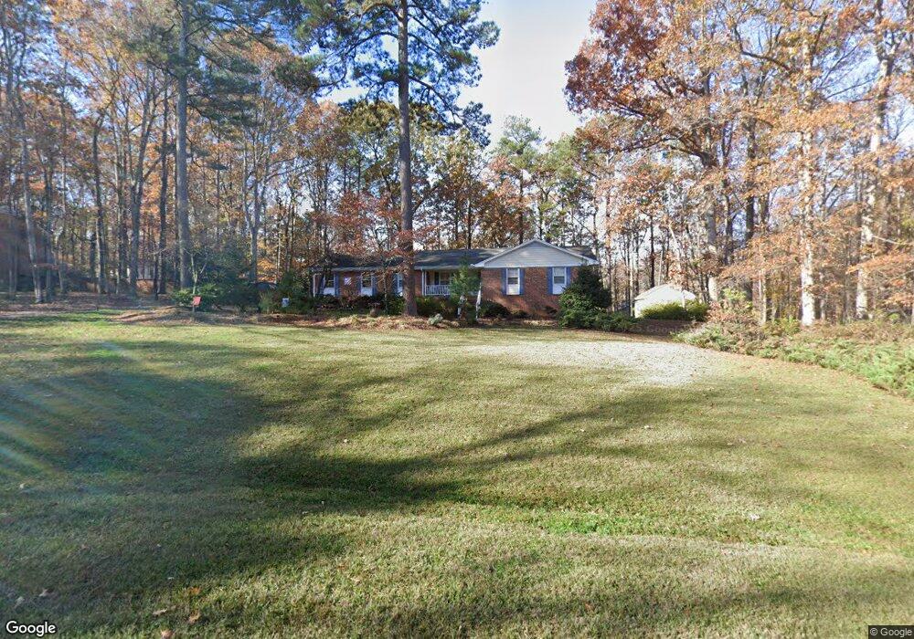
2009 Hunters Point Clayton, NC 27520
Estimated Value: $348,000 - $437,189
3
Beds
3
Baths
2,311
Sq Ft
$175/Sq Ft
Est. Value
About This Home
This home is located at 2009 Hunters Point, Clayton, NC 27520 and is currently estimated at $404,047, approximately $174 per square foot. 2009 Hunters Point is a home located in Johnston County with nearby schools including West Clayton Elementary School, Clayton Middle School, and Clayton High.
Ownership History
Date
Name
Owned For
Owner Type
Purchase Details
Closed on
Jul 15, 2020
Sold by
Denning Brenda
Bought by
Danchi Richard A and Danchi Amanda S
Current Estimated Value
Home Financials for this Owner
Home Financials are based on the most recent Mortgage that was taken out on this home.
Original Mortgage
$197,200
Outstanding Balance
$174,864
Interest Rate
3.1%
Mortgage Type
New Conventional
Estimated Equity
$229,183
Purchase Details
Closed on
Mar 16, 2006
Sold by
Denning Kenneth L and Denning Brenda
Bought by
Denning Brenda
Create a Home Valuation Report for This Property
The Home Valuation Report is an in-depth analysis detailing your home's value as well as a comparison with similar homes in the area
Home Values in the Area
Average Home Value in this Area
Purchase History
| Date | Buyer | Sale Price | Title Company |
|---|---|---|---|
| Danchi Richard A | $246,500 | None Available | |
| Denning Brenda | -- | None Available |
Source: Public Records
Mortgage History
| Date | Status | Borrower | Loan Amount |
|---|---|---|---|
| Open | Danchi Richard A | $197,200 |
Source: Public Records
Tax History Compared to Growth
Tax History
| Year | Tax Paid | Tax Assessment Tax Assessment Total Assessment is a certain percentage of the fair market value that is determined by local assessors to be the total taxable value of land and additions on the property. | Land | Improvement |
|---|---|---|---|---|
| 2025 | $2,465 | $388,120 | $100,000 | $288,120 |
| 2024 | $1,719 | $212,250 | $60,000 | $152,250 |
| 2023 | $1,783 | $212,250 | $60,000 | $152,250 |
| 2022 | $1,799 | $212,250 | $60,000 | $152,250 |
| 2021 | $1,799 | $212,250 | $60,000 | $152,250 |
| 2020 | $1,862 | $212,250 | $60,000 | $152,250 |
| 2019 | $1,862 | $212,250 | $60,000 | $152,250 |
| 2018 | $1,445 | $161,040 | $37,000 | $124,040 |
| 2017 | $1,445 | $161,040 | $37,000 | $124,040 |
| 2016 | $1,413 | $161,040 | $37,000 | $124,040 |
| 2015 | $1,413 | $161,040 | $37,000 | $124,040 |
| 2014 | $1,413 | $161,040 | $37,000 | $124,040 |
Source: Public Records
Map
Nearby Homes
- 1015 Mulberry Rd
- 700 Fernwood Dr
- 1914 Parkside Village Dr
- 3001 Softwind Dr
- 219 Tuscarora Ln
- 23 Tiger Eye Dr
- 20 Tiger Eye Dr
- 8 Tiger Eye Dr
- 215 W Moss Creek Dr
- 36 Pink Iris Ct
- 37 Pink Iris Ct
- 403 Garrison Ave
- 3009 Wynston Way
- 24 Pink Iris Ct
- 49 W Fire Opal Ct
- 54 E Fire Opal Ct
- 541 Pinecroft Dr
- 168 Honeybee Trace
- 70 Plott Hound Dr
- 103 Liam St Unit 108
- 2005 Hunters Point
- 2008 Buckskin Dr
- 2013 Hunters Point
- 2012 Buckskin Dr
- 2004 Hunters Point
- LOT 25 Hunters Point
- 2008 Hunters Point
- 2004 Buckskin Dr
- 110 Buckskin Dr
- 1072 Ridge Dr
- 2017 Hunters Point
- 1076 Ridge Dr
- 2013 Buckskin Dr
- 2012 Hunters Point
- 2005 Creekview Cir
- 2009 Buckskin Dr
- 2000 Buckskin Dr
- 2009 Creekview Cir
- 2005 Buckskin Dr
- 2324 Huntsbridge Dr