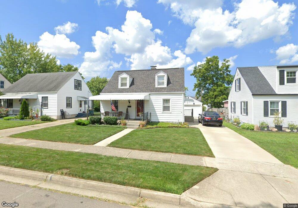
2009 Malcom Dr Dayton, OH 45420
Estimated Value: $161,000 - $191,000
About This Home
This home is located at 2009 Malcom Dr, Dayton, OH 45420 and is currently estimated at $176,485, approximately $175 per square foot. 2009 Malcom Dr is a home located in Montgomery County with nearby schools including Greenmont Elementary School, Kettering Middle School, and Kettering Fairmont High School.
Ownership History
We collect this data history from publicly available records. To have your information removed, we recommend requesting removal directly through your county’s website.
Purchase Details
Home Financials for this Owner
Home Financials are based on the most recent Mortgage that was taken out on this home.Home Values in the Area
Average Home Value in this Area
Purchase History
We collect this data history from publicly available records. To have your information removed, we recommend requesting removal directly through your county’s website.
| Date | Buyer | Sale Price | Title Company |
|---|---|---|---|
| $94,500 | -- |
Mortgage History
We collect this data history from publicly available records. To have your information removed, we recommend requesting removal directly through your county’s website.
| Date | Status | Borrower | Loan Amount |
|---|---|---|---|
| Open | $76,050 |
Tax History
We collect this data history from publicly available records. To have your information removed, we recommend requesting removal directly through your county’s website.
| Year | Tax Paid | Tax Assessment Tax Assessment Total Assessment is a certain percentage of the fair market value that is determined by local assessors to be the total taxable value of land and additions on the property. | Land | Improvement |
|---|---|---|---|---|
| 2025 | $2,910 | $45,070 | $11,010 | $34,060 |
| 2024 | $2,828 | $45,070 | $11,010 | $34,060 |
| 2023 | $2,828 | $45,070 | $11,010 | $34,060 |
| 2022 | $2,504 | $31,470 | $7,700 | $23,770 |
| 2021 | $2,318 | $31,470 | $7,700 | $23,770 |
| 2020 | $2,325 | $31,470 | $7,700 | $23,770 |
| 2019 | $2,394 | $28,670 | $7,700 | $20,970 |
| 2018 | $2,407 | $28,670 | $7,700 | $20,970 |
| 2017 | $2,219 | $28,670 | $7,700 | $20,970 |
| 2016 | $2,081 | $25,220 | $7,700 | $17,520 |
| 2015 | $1,989 | $25,220 | $7,700 | $17,520 |
| 2014 | $1,989 | $25,220 | $7,700 | $17,520 |
| 2012 | -- | $29,450 | $8,400 | $21,050 |
Map
- 1935 Malcom Dr
- 1909 E Bataan Dr
- 2437 N Aragon Ave
- 2533 Bingham Ave
- 1704 Horlacher Ave
- 1700 Norton Ave
- 1534 Horlacher Ave
- 1512 Horlacher Ave
- 1513 Horlacher Ave
- 1431 Flesher Ave
- 1421 Flesher Ave
- 56 Kastrup Dr
- 1905 Russell Ave
- 2605 Flesher Ave
- 2360 S Aragon Ave
- 3020 Wayland Ave
- 3016 Wayland Ave
- 3012 Wayland Ave
- 3073 Wayland Ave
- 1904 Hazel Ave
- 2005 Malcom Dr
- 2013 Malcom Dr
- 2001 Malcom Dr
- 2017 Malcom Dr
- 2010 W Bataan Dr
- 2006 W Bataan Dr
- 2014 W Bataan Dr
- 2002 W Bataan Dr
- 1967 Malcom Dr
- 2021 Malcom Dr
- 2018 W Bataan Dr
- 1958 W Bataan Dr
- 1963 Malcom Dr
- 2006 Malcom Dr
- 2010 Malcom Dr
- 2022 W Bataan Dr
- 2002 Malcom Dr
- 2014 Malcom Dr
- 1954 W Bataan Dr
- 2018 Malcom Dr
Ask me questions while you tour the home.