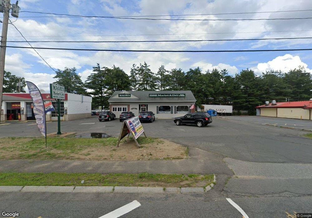
2009 Memorial Dr Chicopee, MA 01020
Fairview NeighborhoodEstimated Value: $258,302
Studio
--
Bath
2,688
Sq Ft
$96/Sq Ft
Est. Value
About This Home
This home is located at 2009 Memorial Dr, Chicopee, MA 01020 and is currently priced at $258,302, approximately $96 per square foot. 2009 Memorial Dr is a home located in Hampden County with nearby schools including Bowie Elementary School, Fairview Middle School, and Chicopee Comprehensive High School.
Ownership History
Date
Name
Owned For
Owner Type
Purchase Details
Closed on
May 7, 2019
Sold by
Magri Peter A and Magri Margaret M
Bought by
Magri Lauren M
Current Estimated Value
Home Financials for this Owner
Home Financials are based on the most recent Mortgage that was taken out on this home.
Original Mortgage
$225,000
Outstanding Balance
$196,595
Interest Rate
4%
Mortgage Type
New Conventional
Purchase Details
Closed on
Jan 28, 2004
Sold by
Magri Peter A
Bought by
Magri Margaret M and Magri Peter A
Purchase Details
Closed on
Mar 31, 1998
Sold by
Trimboli Anthony J
Bought by
Magri Peter A
Purchase Details
Closed on
Jul 22, 1997
Sold by
Duda Donald J
Bought by
Magri Peter A and Trimboli Anthony J
Create a Home Valuation Report for This Property
The Home Valuation Report is an in-depth analysis detailing your home's value as well as a comparison with similar homes in the area
Home Values in the Area
Average Home Value in this Area
Purchase History
| Date | Buyer | Sale Price | Title Company |
|---|---|---|---|
| Magri Lauren M | $115,000 | -- | |
| Magri Lauren M | $115,000 | -- | |
| Magri Margaret M | -- | -- | |
| Magri Margaret M | -- | -- | |
| Magri Margaret M | -- | -- | |
| Magri Peter A | $75,000 | -- | |
| Magri Peter A | $75,000 | -- | |
| Magri Peter A | $205,000 | -- | |
| Magri Peter A | $205,000 | -- |
Source: Public Records
Mortgage History
| Date | Status | Borrower | Loan Amount |
|---|---|---|---|
| Open | Magri Lauren M | $225,000 | |
| Closed | Magri Lauren M | $225,000 | |
| Previous Owner | Magri Peter A | $180,000 | |
| Previous Owner | Magri Peter A | $25,750 |
Source: Public Records
Tax History
| Year | Tax Paid | Tax Assessment Tax Assessment Total Assessment is a certain percentage of the fair market value that is determined by local assessors to be the total taxable value of land and additions on the property. | Land | Improvement |
|---|---|---|---|---|
| 2025 | $10,096 | $309,500 | $160,500 | $149,000 |
| 2024 | $9,594 | $301,900 | $157,400 | $144,500 |
| 2023 | $9,028 | $275,000 | $143,100 | $131,900 |
| 2022 | $8,905 | $238,100 | $124,400 | $113,700 |
| 2021 | $9,179 | $263,300 | $138,200 | $125,100 |
| 2020 | $8,978 | $264,600 | $138,200 | $126,400 |
| 2019 | $8,728 | $252,400 | $131,600 | $120,800 |
| 2018 | $8,333 | $240,500 | $125,300 | $115,200 |
| 2017 | $7,788 | $239,700 | $131,000 | $108,700 |
| 2016 | $7,471 | $239,700 | $131,000 | $108,700 |
| 2015 | $7,591 | $239,700 | $131,000 | $108,700 |
| 2014 | $7,095 | $239,700 | $131,000 | $108,700 |
Source: Public Records
Map
Nearby Homes
- 18 Devlin Dr
- 2085 Memorial Dr
- 341 Montcalm St
- 15 Hudson Ave
- 128 Ann St
- 41 Susan Ave
- 143 Royal St
- 61 Saint Jacques Ave
- 90 Anson St
- 35 Ludlow Rd
- 81 Mccarthy Ave
- 56 Old Lyman Rd
- 25 Shadow Brook Estates Unit 25
- 20 Lyman Terrace
- 0 Granby Rd
- 83 Old Farm Rd
- 104 Johnson Rd Unit 1103
- 104 Johnson Rd Unit 707
- 442 Prospect St
- 5 Olde Plains Hollow
- 1995 Memorial Dr
- 0 Memorial Dr
- 0 Memorial Dr Unit 72930872
- 265 New Ludlow Rd
- 265 New Ludlow Rd Unit H-3
- 265 New Ludlow Rd Unit C-3
- 265 New Ludlow Rd Unit C4
- 265 New Ludlow Rd Unit F4
- 265 New Ludlow Rd Unit H4
- 265 New Ludlow Rd Unit C2
- 265 New Ludlow Rd Unit D6
- 265 New Ludlow Rd Unit D2
- 265 New Ludlow Rd Unit G2
- 265 New Ludlow Rd Unit G1
- 265 New Ludlow Rd Unit G6
- 30 Yorktown Ct Unit 30
- 30 Yorktown Ct Unit 30
- 32 Yorktown Ct
- 30 Yorktown Ct
- 28 Yorktown Ct
Your Personal Tour Guide
Ask me questions while you tour the home.