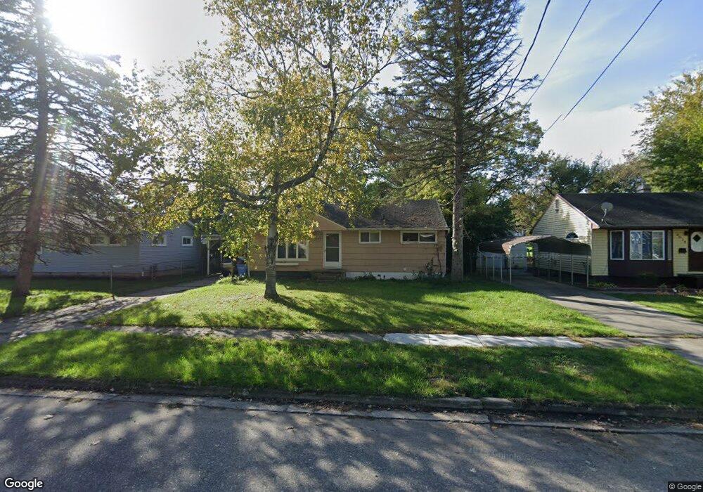
2009 Pleasant View Ave Lansing, MI 48910
Pleasant Grove NeighborhoodEstimated Value: $118,614 - $133,000
3
Beds
1
Bath
912
Sq Ft
$139/Sq Ft
Est. Value
About This Home
This home is located at 2009 Pleasant View Ave, Lansing, MI 48910 and is currently estimated at $126,654, approximately $138 per square foot. 2009 Pleasant View Ave is a home located in Ingham County with nearby schools including Reo Elementary School, Attwood School, and Everett High School.
Ownership History
Date
Name
Owned For
Owner Type
Purchase Details
Closed on
Mar 15, 2018
Sold by
2009 Plesant View Llc
Bought by
Fox Land Holdings Llc
Current Estimated Value
Purchase Details
Closed on
Dec 5, 2008
Sold by
Mortgage Center Lc
Bought by
2009Pleasantview Llc
Purchase Details
Closed on
Jul 19, 2007
Sold by
Powell Kelly V
Bought by
Mortgage Center Lc
Purchase Details
Closed on
May 2, 1996
Sold by
Jose Solis
Bought by
Kelly V Powell
Create a Home Valuation Report for This Property
The Home Valuation Report is an in-depth analysis detailing your home's value as well as a comparison with similar homes in the area
Home Values in the Area
Average Home Value in this Area
Purchase History
| Date | Buyer | Sale Price | Title Company |
|---|---|---|---|
| Fox Land Holdings Llc | -- | Bridge Title Agency Llc | |
| 2009Pleasantview Llc | $23,000 | First American Title Ins Co | |
| Mortgage Center Lc | $75,244 | None Available | |
| Kelly V Powell | $49,900 | -- |
Source: Public Records
Tax History Compared to Growth
Tax History
| Year | Tax Paid | Tax Assessment Tax Assessment Total Assessment is a certain percentage of the fair market value that is determined by local assessors to be the total taxable value of land and additions on the property. | Land | Improvement |
|---|---|---|---|---|
| 2025 | $2,494 | $50,700 | $8,600 | $42,100 |
| 2024 | $20 | $45,300 | $8,600 | $36,700 |
| 2023 | $2,348 | $41,400 | $8,600 | $32,800 |
| 2022 | $2,145 | $29,200 | $6,500 | $22,700 |
| 2021 | $2,095 | $26,700 | $4,600 | $22,100 |
| 2020 | $2,080 | $25,600 | $4,600 | $21,000 |
| 2019 | $1,978 | $24,900 | $4,600 | $20,300 |
| 2018 | $1,674 | $21,400 | $4,600 | $16,800 |
| 2017 | $1,610 | $21,400 | $4,600 | $16,800 |
| 2016 | $1,648 | $21,100 | $4,600 | $16,500 |
| 2015 | $1,648 | $20,500 | $9,224 | $11,276 |
| 2014 | $1,648 | $21,600 | $17,872 | $3,728 |
Source: Public Records
Map
Nearby Homes
- 2029 Hillcrest St
- 4017 Richmond St
- 4110 Richmond St
- 2311 Greenbelt Dr
- VL Hillcrest St
- 3312 Pleasant Grove Rd
- 1321 Pompton Cir
- 1500 Pierce Rd
- 1422 Pierce Rd
- 1729 Reo Rd
- 1301 Warwick Dr
- 4620 Christiansen Rd
- 1429 Pierce Rd
- 3336 Avalon St
- 3330 Avalon St
- 4628 Pleasant Grove Rd
- 1420 Reo Rd
- 2816 Greenbelt Dr
- 3324 Viking St
- 1415 Reo Rd
- 2003 Pleasant View Ave
- 2015 Pleasant View Ave
- 1933 Pleasant View Ave
- 2021 Pleasant View Ave
- 2010 Hillcrest St
- 2002 Hillcrest St
- 2018 Hillcrest St
- 1930 Hillcrest St
- 1927 Pleasant View Ave
- 2027 Pleasant View Ave
- 2024 Hillcrest St
- 2008 Pleasant View Ave
- 2014 Pleasant View Ave
- 2002 Pleasant View Ave
- 2028 Hillcrest St
- 2018 Pleasant View Ave
- 1921 Pleasant View Ave
- 2031 Pleasant View Ave
- 1930 Pleasant View Ave