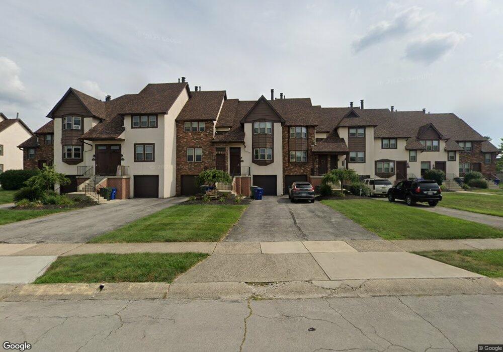
2009 Queensgate Ln Columbus, OH 43235
The Gables NeighborhoodEstimated Value: $190,632 - $251,000
2
Beds
2
Baths
1,328
Sq Ft
$168/Sq Ft
Est. Value
About This Home
This home is located at 2009 Queensgate Ln, Columbus, OH 43235 and is currently estimated at $223,158, approximately $168 per square foot. 2009 Queensgate Ln is a home located in Franklin County with nearby schools including Daniel Wright Elementary School, Ann Simpson Davis Middle School, and Dublin Scioto High School.
Ownership History
Date
Name
Owned For
Owner Type
Purchase Details
Closed on
Mar 24, 2025
Sold by
Mara Enterprises Inc
Bought by
Ssf Ii Victoria Place Llc
Current Estimated Value
Home Financials for this Owner
Home Financials are based on the most recent Mortgage that was taken out on this home.
Original Mortgage
$13,394,974
Outstanding Balance
$10,299,001
Interest Rate
6.85%
Mortgage Type
New Conventional
Estimated Equity
-$10,075,843
Purchase Details
Closed on
Nov 1, 1983
Create a Home Valuation Report for This Property
The Home Valuation Report is an in-depth analysis detailing your home's value as well as a comparison with similar homes in the area
Home Values in the Area
Average Home Value in this Area
Purchase History
| Date | Buyer | Sale Price | Title Company |
|---|---|---|---|
| Ssf Ii Victoria Place Llc | -- | Clean Title | |
| -- | -- | -- |
Source: Public Records
Mortgage History
| Date | Status | Borrower | Loan Amount |
|---|---|---|---|
| Open | Ssf Ii Victoria Place Llc | $13,394,974 |
Source: Public Records
Tax History
| Year | Tax Paid | Tax Assessment Tax Assessment Total Assessment is a certain percentage of the fair market value that is determined by local assessors to be the total taxable value of land and additions on the property. | Land | Improvement |
|---|---|---|---|---|
| 2025 | $1,855 | $30,040 | $4,030 | $26,010 |
| 2024 | $1,855 | $30,040 | $4,030 | $26,010 |
| 2023 | $1,829 | $30,040 | $4,030 | $26,010 |
| 2022 | $1,746 | $26,570 | $4,450 | $22,120 |
| 2021 | $1,803 | $26,570 | $4,450 | $22,120 |
| 2020 | $1,803 | $26,570 | $4,450 | $22,120 |
| 2019 | $1,733 | $23,100 | $3,850 | $19,250 |
| 2018 | $1,731 | $23,100 | $3,850 | $19,250 |
| 2017 | $1,627 | $23,100 | $3,850 | $19,250 |
| 2016 | $1,747 | $23,100 | $3,500 | $19,600 |
| 2015 | $1,737 | $23,100 | $3,500 | $19,600 |
| 2014 | $1,722 | $23,100 | $3,500 | $19,600 |
| 2013 | $894 | $23,100 | $3,500 | $19,600 |
Source: Public Records
Map
Nearby Homes
- 5258 Captains Ct Unit E
- 5374 Tartan Ln Unit 33
- 2176 Hedgerow Rd Unit 2176D
- 5331 Bethel Park Dr
- 5354 Shannon Ln Unit 71
- 5672 Fraley Ct
- 5094 Reed Rd
- 5624 Wigmore Dr Unit 50B
- 5273 Berrywood Dr Unit 5273
- 5109 Ranstead Ct Unit 9
- 5107 Delancey St
- 5285 Portland St Unit 104
- 2260 Lila Way Unit 62D
- 5354 Coral Berry Dr Unit 79C
- 2010 Willoway Ct N Unit 2010
- 2515 Dahlia Way Unit 64C
- 5294 Brandy Oaks Ln
- 1883 Willoway Cir N Unit 1883
- 2391 Bethel Rd Unit 2391
- 1916 Willoway Cir S
- 2011 Queensgate Ln
- 2007 Queensgate Ln
- 2005 Queensgate Ln
- 2013 Queensgate Ln
- 2015 Queensgate Ln
- 2003 Queensgate Ln
- 2017 Queensgate Ln
- 2001 Queensgate Ln
- 2001 Queensgate Ln
- 2019 Queensgate Ln
- 2033 Coleman Dr Unit 6A
- 2014 Queensgate Ln Unit 2014
- 2018 Queensgate Ln Unit 2018
- 2012 Queensgate Ln
- 2035 Coleman Dr
- 2035 Coleman Dr Unit 6b
- 2020 Queensgate Ln Unit 2020
- 2037 Coleman Dr Unit 6C
- 2024 Queensgate Ln Unit 2024
- 5410 Baneberry Ave
Your Personal Tour Guide
Ask me questions while you tour the home.