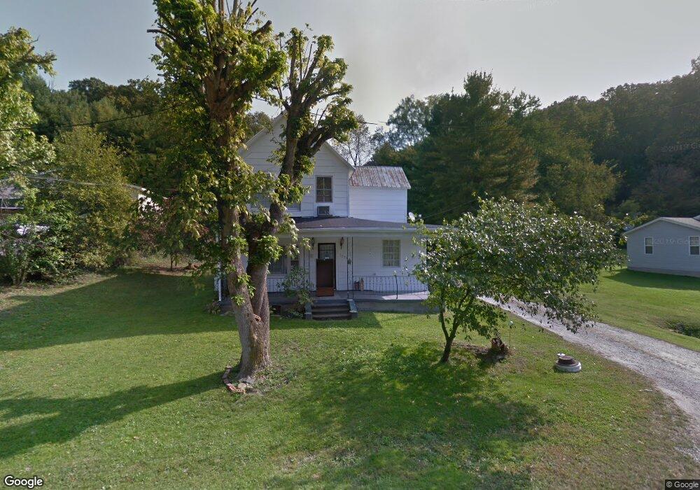
2009 State Route 243 Ironton, OH 45638
Estimated Value: $121,187 - $170,000
3
Beds
2
Baths
1,692
Sq Ft
$90/Sq Ft
Est. Value
About This Home
This home is located at 2009 State Route 243, Ironton, OH 45638 and is currently estimated at $152,297, approximately $90 per square foot. 2009 State Route 243 is a home located in Lawrence County with nearby schools including Dawson-Bryant Elementary School, Dawson-Bryant Middle School, and Dawson-Bryant High School.
Ownership History
Date
Name
Owned For
Owner Type
Purchase Details
Closed on
Jan 1, 1987
Bought by
Gettys Charles W and Gettys Bren
Current Estimated Value
Create a Home Valuation Report for This Property
The Home Valuation Report is an in-depth analysis detailing your home's value as well as a comparison with similar homes in the area
Home Values in the Area
Average Home Value in this Area
Purchase History
| Date | Buyer | Sale Price | Title Company |
|---|---|---|---|
| Gettys Charles W | -- | -- |
Source: Public Records
Tax History Compared to Growth
Tax History
| Year | Tax Paid | Tax Assessment Tax Assessment Total Assessment is a certain percentage of the fair market value that is determined by local assessors to be the total taxable value of land and additions on the property. | Land | Improvement |
|---|---|---|---|---|
| 2024 | -- | $24,320 | $3,080 | $21,240 |
| 2023 | $439 | $24,320 | $3,080 | $21,240 |
| 2022 | $449 | $24,320 | $3,080 | $21,240 |
| 2021 | $349 | $21,130 | $2,910 | $18,220 |
| 2020 | $365 | $21,130 | $2,910 | $18,220 |
| 2019 | $364 | $21,130 | $2,910 | $18,220 |
| 2018 | $355 | $20,680 | $2,910 | $17,770 |
| 2017 | $354 | $20,680 | $2,910 | $17,770 |
| 2016 | $325 | $20,680 | $2,910 | $17,770 |
| 2015 | $455 | $24,330 | $2,920 | $21,410 |
| 2014 | $449 | $24,330 | $2,920 | $21,410 |
| 2013 | $449 | $24,330 | $2,920 | $21,410 |
Source: Public Records
Map
Nearby Homes
- 2088 State Route 243
- 156 Township Road 181
- 342 Township Road 296
- 103 Carrico Dr
- 119 Remy St
- 519 Lane St
- 514 Lane St
- 135 Lane St
- 805 1/2 High St
- 125 Center St
- 309 High St
- 309 High St Unit LAO-5
- 0 Carter Ave
- 1824 Carter Ave
- 2135 Central Ave
- 0 Central Ave
- 0 18th Street & Central Ave
- 0 27th Block of Carter Ave
- 0 Central & Mlk
- 2829 Carter Ave
- 2033 State Route 243
- 1991 State Route 243
- 2024 State Route 243
- 24 Pvt Dr 2057 State Route 243
- 1992 State Route 243
- 2052 State Route 243
- 1963 State Route 243
- 1972 State Route 243
- 2068 State Route 243
- 1948 State Route 243
- 1960 State Route 243
- 1930 State Route 243
- 1902 State Route 243
- 1921 State Route 243
- 2108 State Route 243
- 1912 State Route 243
- 2124 State Route 243
- 2133 State Route 243
- 1884 State Route 243
- 1891 State Route 243