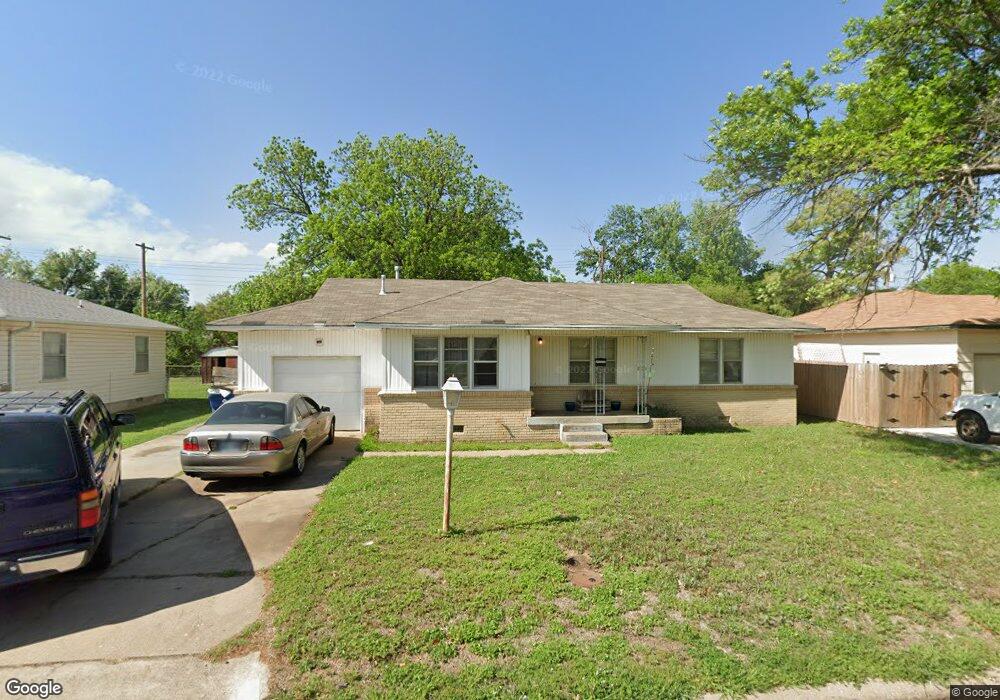
2009 W Birch Ave Duncan, OK 73533
Estimated Value: $66,000 - $78,000
2
Beds
1
Bath
1,090
Sq Ft
$64/Sq Ft
Est. Value
About This Home
This home is located at 2009 W Birch Ave, Duncan, OK 73533 and is currently estimated at $69,756, approximately $63 per square foot. 2009 W Birch Ave is a home located in Stephens County with nearby schools including Mark Twain Elementary School, Duncan Middle School, and Duncan High School.
Ownership History
Date
Name
Owned For
Owner Type
Purchase Details
Closed on
Nov 1, 2023
Sold by
Murray Annie
Bought by
Schulte Logan and Schulte Courtney
Current Estimated Value
Purchase Details
Closed on
Jan 5, 2023
Sold by
Joint Revocable Living Trust
Bought by
Baze Annie
Home Financials for this Owner
Home Financials are based on the most recent Mortgage that was taken out on this home.
Original Mortgage
$52,250
Interest Rate
6.27%
Mortgage Type
FHA
Purchase Details
Closed on
May 2, 1994
Sold by
Hall Gregory A
Create a Home Valuation Report for This Property
The Home Valuation Report is an in-depth analysis detailing your home's value as well as a comparison with similar homes in the area
Home Values in the Area
Average Home Value in this Area
Purchase History
| Date | Buyer | Sale Price | Title Company |
|---|---|---|---|
| Schulte Logan | $58,000 | None Listed On Document | |
| Baze Annie | $55,000 | Legacy Title Of Oklahoma | |
| -- | $27,000 | -- |
Source: Public Records
Mortgage History
| Date | Status | Borrower | Loan Amount |
|---|---|---|---|
| Previous Owner | Baze Annie | $52,250 |
Source: Public Records
Tax History Compared to Growth
Tax History
| Year | Tax Paid | Tax Assessment Tax Assessment Total Assessment is a certain percentage of the fair market value that is determined by local assessors to be the total taxable value of land and additions on the property. | Land | Improvement |
|---|---|---|---|---|
| 2025 | $480 | $6,508 | $568 | $5,940 |
| 2024 | $480 | $6,638 | $568 | $6,070 |
| 2023 | $480 | $4,645 | $568 | $4,077 |
| 2022 | $379 | $4,651 | $568 | $4,083 |
| 2021 | $374 | $4,402 | $568 | $3,834 |
| 2020 | $349 | $4,045 | $568 | $3,477 |
| 2019 | $333 | $3,852 | $568 | $3,284 |
| 2018 | $327 | $3,852 | $568 | $3,284 |
| 2017 | $300 | $3,494 | $568 | $2,926 |
| 2016 | $384 | $4,519 | $510 | $4,009 |
| 2015 | $326 | $4,303 | $495 | $3,808 |
| 2014 | $326 | $4,098 | $481 | $3,617 |
Source: Public Records
Map
Nearby Homes
- 2006 W Oak Ave
- 2011 2011 W Oak Ave
- 2108 Ave
- 174831 N 2844 Rd
- 210 N 22nd St
- 2110 W Main St
- 209 N 22nd St
- 201 N 23rd St
- 106 Emery Rd
- 2210 Western Dr
- 206 N 28th St
- 507 N Alice Dr
- 27 N 14th St
- 0 W Beech Ave
- 1309 W Beech Ave
- 210 210 N 31st St
- 2206 2206 W Spruce
- 2230 W Spruce St
- 1203 W Walnut Ave
- 1309 W Pecan Ave
- 2009 W Birch Ave
- 2007 W Birch Ave
- 2011 W Birch Ave
- 2010 W Oak Ave
- 2008 W Oak Ave
- 2012 W Oak Ave
- 2005 W Birch Ave
- 2010 W Birch Ave
- 2008 W Birch Ave
- 2012 W Birch Ave
- 101 N 21st St
- 2006 2006 W Oak Ave
- 2003 W Birch Ave
- 2006 W Birch Ave
- 2102 W Oak Ave
- 2102 W Birch Ave
- 2004 W Oak Ave
- 2102 W Birch Ave
- 2103 W Birch Ave
- 2004 W Birch Ave